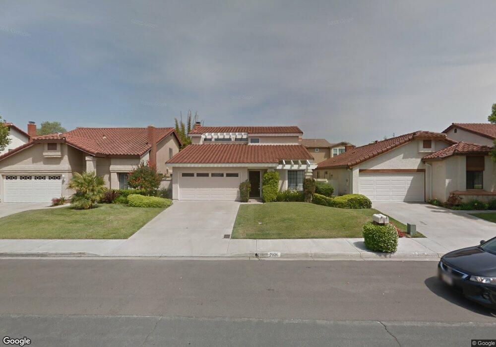
7026 Snapdragon Dr Unit 1 Carlsbad, CA 92011
Poinsettia NeighborhoodEstimated Value: $1,267,296 - $1,370,000
3
Beds
3
Baths
1,644
Sq Ft
$812/Sq Ft
Est. Value
About This Home
This home is located at 7026 Snapdragon Dr Unit 1, Carlsbad, CA 92011 and is currently estimated at $1,335,574, approximately $812 per square foot. 7026 Snapdragon Dr Unit 1 is a home located in San Diego County with nearby schools including Aviara Oaks Elementary, Aviara Oaks Middle, and Carlsbad High School.
Ownership History
Date
Name
Owned For
Owner Type
Purchase Details
Closed on
Dec 19, 2019
Sold by
Lanchaster Robert E and Lanchaster Mary Anne
Bought by
Lancaster Robert E and Lancaster Mary Anne
Current Estimated Value
Purchase Details
Closed on
Sep 14, 2011
Sold by
Lancaster Robert E and Lancaster Mary Anne
Bought by
Lancaster Robert E and Lancaster Mary Anne
Purchase Details
Closed on
Oct 8, 2009
Sold by
Lancaster Robert and Lancaster Maryanne
Bought by
Lancaster Robert E and Lancaster Mary Anne
Home Financials for this Owner
Home Financials are based on the most recent Mortgage that was taken out on this home.
Original Mortgage
$294,000
Outstanding Balance
$187,420
Interest Rate
4.62%
Mortgage Type
New Conventional
Estimated Equity
$1,148,154
Purchase Details
Closed on
Feb 17, 2005
Sold by
Lancaster Robert and Lancaster Maryanne
Bought by
Lancaster Robert E and Lancaster Maryanne
Purchase Details
Closed on
Jul 13, 2004
Sold by
Tripp Timothy
Bought by
Kane Patricia A
Home Financials for this Owner
Home Financials are based on the most recent Mortgage that was taken out on this home.
Original Mortgage
$333,700
Interest Rate
6.24%
Mortgage Type
New Conventional
Purchase Details
Closed on
Jun 29, 2004
Sold by
Kane Patricia A
Bought by
Lancaster Robert and Lancaster Maryanne
Home Financials for this Owner
Home Financials are based on the most recent Mortgage that was taken out on this home.
Original Mortgage
$333,700
Interest Rate
6.24%
Mortgage Type
New Conventional
Purchase Details
Closed on
Oct 23, 2001
Sold by
Kane Edward William and Kane Patricia A
Bought by
Kane Patricia A
Home Financials for this Owner
Home Financials are based on the most recent Mortgage that was taken out on this home.
Original Mortgage
$160,000
Interest Rate
5.87%
Purchase Details
Closed on
Dec 12, 1988
Purchase Details
Closed on
Jan 30, 1985
Create a Home Valuation Report for This Property
The Home Valuation Report is an in-depth analysis detailing your home's value as well as a comparison with similar homes in the area
Home Values in the Area
Average Home Value in this Area
Purchase History
| Date | Buyer | Sale Price | Title Company |
|---|---|---|---|
| Lancaster Robert E | -- | None Available | |
| Lancaster Robert E | -- | Ticor Title | |
| Lancaster Robert E | -- | First American Title | |
| Lancaster Robert | -- | First American Title | |
| Lancaster Robert E | -- | -- | |
| Kane Patricia A | -- | Southland Title Of San Diego | |
| Lancaster Robert | $595,000 | Southland Title Of San Diego | |
| Kane Patricia A | -- | North American Title | |
| -- | $215,000 | -- | |
| -- | $145,700 | -- |
Source: Public Records
Mortgage History
| Date | Status | Borrower | Loan Amount |
|---|---|---|---|
| Open | Lancaster Robert | $294,000 | |
| Closed | Lancaster Robert | $333,700 | |
| Previous Owner | Kane Patricia A | $160,000 |
Source: Public Records
Tax History Compared to Growth
Tax History
| Year | Tax Paid | Tax Assessment Tax Assessment Total Assessment is a certain percentage of the fair market value that is determined by local assessors to be the total taxable value of land and additions on the property. | Land | Improvement |
|---|---|---|---|---|
| 2025 | $8,706 | $829,315 | $578,431 | $250,884 |
| 2024 | $8,706 | $813,055 | $567,090 | $245,965 |
| 2023 | $8,662 | $797,114 | $555,971 | $241,143 |
| 2022 | $8,529 | $781,485 | $545,070 | $236,415 |
| 2021 | $8,465 | $766,163 | $534,383 | $231,780 |
| 2020 | $8,408 | $758,308 | $528,904 | $229,404 |
| 2019 | $8,256 | $743,440 | $518,534 | $224,906 |
| 2018 | $7,597 | $700,000 | $485,000 | $215,000 |
| 2017 | $7,349 | $675,000 | $468,000 | $207,000 |
| 2016 | $6,666 | $625,000 | $434,000 | $191,000 |
| 2015 | $6,740 | $625,000 | $434,000 | $191,000 |
| 2014 | $6,758 | $625,000 | $435,000 | $190,000 |
Source: Public Records
Map
Nearby Homes
- 6777 Lonicera St
- 6915 Pear Tree Dr
- 7013 Lavender Way
- 874 Marigold Ct
- 7089 Tatler Rd
- 7219 Linden Terrace
- 6709 Lonicera St
- 6951 Quiet Cove Dr
- 7124 Aviara Dr Unit D
- 802 Spindrift Ln
- 6557 Coneflower Dr
- 839 Skysail Ave
- 6497 Wayfinders Ct
- 7025 San Bartolo St Unit 42
- 7207 Santa Barbara St Unit 154
- 7016 San Carlos St Unit 61
- 7002 San Bartolo St Unit 30
- 7205 Santa Barbara St Unit 153
- 7027 San Bartolo St Unit 43
- 7024 San Bartolo St Unit 19
- 7028 Snapdragon Dr
- 7024 Snapdragon Dr
- 7030 Snapdragon Dr
- 7022 Snapdragon Dr
- 7037 Marsh Wren St
- 7041 Marsh Wren St
- 7032 Snapdragon Dr
- 7045 Marsh Wren St
- 7027 Snapdragon Dr
- 7025 Snapdragon Dr
- 7029 Snapdragon Dr
- 7023 Snapdragon Dr
- 7031 Snapdragon Dr
- 7034 Snapdragon Dr
- 7021 Snapdragon Dr
- 7033 Snapdragon Dr
- 7018 Snapdragon Dr
- 7036 Snapdragon Dr
- 7053 Marsh Wren St
- 7035 Snapdragon Dr