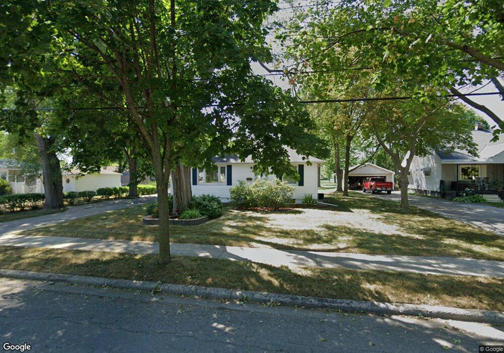
705 Sidney St Bay City, MI 48706
Estimated Value: $121,000 - $139,000
2
Beds
1
Bath
1,008
Sq Ft
$127/Sq Ft
Est. Value
About This Home
This home is located at 705 Sidney St, Bay City, MI 48706 and is currently estimated at $127,595, approximately $126 per square foot. 705 Sidney St is a home located in Bay County with nearby schools including Linsday Elementary School, Handy Middle School, and Bay City Central High School.
Ownership History
Date
Name
Owned For
Owner Type
Purchase Details
Closed on
May 30, 2003
Sold by
Schultz Jon F
Bought by
Schneider Kim M
Current Estimated Value
Home Financials for this Owner
Home Financials are based on the most recent Mortgage that was taken out on this home.
Original Mortgage
$76,400
Outstanding Balance
$33,758
Interest Rate
5.9%
Mortgage Type
Purchase Money Mortgage
Estimated Equity
$93,837
Purchase Details
Closed on
Oct 18, 1993
Sold by
Poirier Richard L and Poirier Joan P
Bought by
Schultz Jon F
Create a Home Valuation Report for This Property
The Home Valuation Report is an in-depth analysis detailing your home's value as well as a comparison with similar homes in the area
Home Values in the Area
Average Home Value in this Area
Purchase History
| Date | Buyer | Sale Price | Title Company |
|---|---|---|---|
| Schneider Kim M | $95,500 | -- | |
| Schultz Jon F | $66,000 | -- |
Source: Public Records
Mortgage History
| Date | Status | Borrower | Loan Amount |
|---|---|---|---|
| Open | Schneider Kim M | $76,400 |
Source: Public Records
Tax History Compared to Growth
Tax History
| Year | Tax Paid | Tax Assessment Tax Assessment Total Assessment is a certain percentage of the fair market value that is determined by local assessors to be the total taxable value of land and additions on the property. | Land | Improvement |
|---|---|---|---|---|
| 2025 | $1,854 | $58,000 | $0 | $0 |
| 2024 | $1,526 | $51,100 | $0 | $0 |
| 2023 | $1,453 | $45,250 | $0 | $0 |
| 2022 | $1,669 | $41,350 | $0 | $0 |
| 2021 | $1,569 | $39,000 | $39,000 | $0 |
| 2020 | $1,669 | $34,700 | $34,700 | $0 |
| 2019 | $1,632 | $33,850 | $0 | $0 |
| 2018 | $1,616 | $32,900 | $0 | $0 |
| 2017 | $1,582 | $32,250 | $0 | $0 |
| 2016 | $1,600 | $32,500 | $0 | $32,500 |
| 2015 | $1,670 | $32,850 | $0 | $32,850 |
| 2014 | $1,670 | $34,250 | $0 | $34,250 |
Source: Public Records
Map
Nearby Homes
- 117 E Smith St
- 1106 State St
- 801 Marchand St
- 203 Elm St
- 304 Curtis St
- 204 Elm St
- 305 Marston St
- 1110 Anchor Way
- 507 N Bangor St
- 1103 Bradfield St
- 707 N Sophia St
- 307 Mosher St
- 1109 Leng St
- 1707 N Henry St
- 1012 Litchfield St
- 602 Transit St
- 900 E Fulton St
- 403 State St
- 902 Litchfield St
- 23 Old Kawkawlin Rd