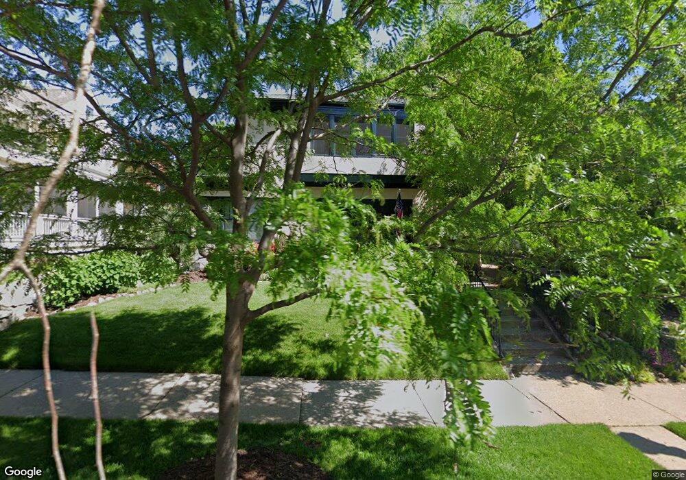
709 Linwood Ave Saint Paul, MN 55105
Summit Hill NeighborhoodEstimated Value: $1,040,857 - $1,115,000
5
Beds
5
Baths
3,603
Sq Ft
$299/Sq Ft
Est. Value
About This Home
This home is located at 709 Linwood Ave, Saint Paul, MN 55105 and is currently estimated at $1,078,952, approximately $299 per square foot. 709 Linwood Ave is a home located in Ramsey County with nearby schools including Randolph Heights Elementary School, Hidden River Middle School, and Central Senior High School.
Ownership History
Date
Name
Owned For
Owner Type
Purchase Details
Closed on
Jan 20, 2023
Sold by
Kayser Carol M and Kayser John P
Bought by
Carol M Kayser Trust
Current Estimated Value
Purchase Details
Closed on
Oct 30, 2003
Sold by
Gorvik Christopher and Gorvik Devee
Bought by
Dahlberg Timothy B and Dahlberg Hilary K
Purchase Details
Closed on
Dec 1, 1999
Sold by
Morford David L
Bought by
Govrik K Christopher and Govrik Devee
Purchase Details
Closed on
Feb 4, 1999
Sold by
Garretson Donald E and Garretson Adele A
Bought by
Morford David L
Create a Home Valuation Report for This Property
The Home Valuation Report is an in-depth analysis detailing your home's value as well as a comparison with similar homes in the area
Home Values in the Area
Average Home Value in this Area
Purchase History
| Date | Buyer | Sale Price | Title Company |
|---|---|---|---|
| Carol M Kayser Trust | $500 | -- | |
| Dahlberg Timothy B | $725,000 | -- | |
| Govrik K Christopher | $595,000 | -- | |
| Morford David L | $323,500 | -- |
Source: Public Records
Tax History Compared to Growth
Tax History
| Year | Tax Paid | Tax Assessment Tax Assessment Total Assessment is a certain percentage of the fair market value that is determined by local assessors to be the total taxable value of land and additions on the property. | Land | Improvement |
|---|---|---|---|---|
| 2025 | $16,118 | $1,071,800 | $213,200 | $858,600 |
| 2023 | $16,118 | $957,400 | $213,200 | $744,200 |
| 2022 | $14,594 | $899,600 | $213,200 | $686,400 |
| 2021 | $15,224 | $831,300 | $213,200 | $618,100 |
| 2020 | $15,400 | $895,700 | $213,200 | $682,500 |
| 2019 | $14,786 | $845,700 | $213,200 | $632,500 |
| 2018 | $14,228 | $807,400 | $213,200 | $594,200 |
| 2017 | $12,548 | $797,900 | $213,200 | $584,700 |
| 2016 | $12,052 | $0 | $0 | $0 |
| 2015 | $12,856 | $686,400 | $213,200 | $473,200 |
| 2014 | $15,794 | $0 | $0 | $0 |
Source: Public Records
Map
Nearby Homes
- 670 Lincoln Ave
- 695 Lincoln Ave
- 793 Goodrich Ave
- 657 Lincoln Ave
- 195 Oneida St
- 614 Grand Ave Unit C
- 614 Grand Ave Unit 3EE
- 857 Fairmount Ave
- 745 Grand Ave Unit 404
- 63 Avon St S Unit 36
- 635 Grand Ave Unit 4
- 51 Avon St S Unit 24
- 885 Linwood Ave
- 389 Osceola Ave S
- 28 Dale St S Unit A
- 21 Avon St S Unit 21
- 385 Toronto St
- 884 Lincoln Ave
- 582 Summit Ave
- 818 Summit Ave
- 705 Linwood Ave
- 715 Linwood Ave
- 708 Osceola Ave
- 700 Osceola Ave
- 712 Osceola Ave
- 685 Linwood Ave
- 725 Linwood Ave
- 716 Osceola Ave
- 712 Linwood Ave
- 710 Linwood Ave
- 722 Linwood Ave
- 696 Linwood Ave
- 728 Osceola Ave
- 700 Linwood Ave
- 690 Linwood Ave
- 214 Grotto St S
- 726 Linwood Ave
- 705 Osceola Ave
- 697 Osceola Ave
- 809 Pleasant Ave