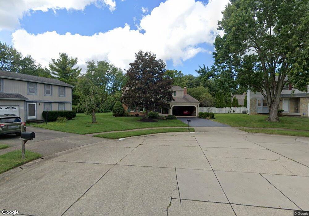
7095 Donahue Ct Columbus, OH 43235
Brookside Village NeighborhoodEstimated Value: $446,000 - $475,000
4
Beds
3
Baths
2,098
Sq Ft
$219/Sq Ft
Est. Value
About This Home
This home is located at 7095 Donahue Ct, Columbus, OH 43235 and is currently estimated at $458,847, approximately $218 per square foot. 7095 Donahue Ct is a home located in Franklin County with nearby schools including Brookside Elementary School, McCord Middle School, and Worthington Kilbourne High School.
Ownership History
Date
Name
Owned For
Owner Type
Purchase Details
Closed on
Feb 29, 2000
Sold by
Bauer David N and Bauer Christy L
Bought by
Fleming Robert E and Fleming Deborah J
Current Estimated Value
Purchase Details
Closed on
Nov 2, 1989
Bought by
Bauer David N and Bauer Christy L
Purchase Details
Closed on
May 1, 1986
Purchase Details
Closed on
Jun 1, 1983
Create a Home Valuation Report for This Property
The Home Valuation Report is an in-depth analysis detailing your home's value as well as a comparison with similar homes in the area
Home Values in the Area
Average Home Value in this Area
Purchase History
| Date | Buyer | Sale Price | Title Company |
|---|---|---|---|
| Fleming Robert E | $157,900 | Chicago Title | |
| Bauer David N | $105,000 | -- | |
| -- | $97,000 | -- | |
| -- | $79,900 | -- |
Source: Public Records
Tax History Compared to Growth
Tax History
| Year | Tax Paid | Tax Assessment Tax Assessment Total Assessment is a certain percentage of the fair market value that is determined by local assessors to be the total taxable value of land and additions on the property. | Land | Improvement |
|---|---|---|---|---|
| 2024 | $8,099 | $141,720 | $44,100 | $97,620 |
| 2023 | $7,782 | $141,715 | $44,100 | $97,615 |
| 2022 | $5,983 | $89,610 | $25,450 | $64,160 |
| 2021 | $5,520 | $89,610 | $25,450 | $64,160 |
| 2020 | $5,317 | $89,610 | $25,450 | $64,160 |
| 2019 | $5,009 | $77,500 | $22,160 | $55,340 |
| 2018 | $4,452 | $77,500 | $22,160 | $55,340 |
| 2017 | $4,489 | $77,500 | $22,160 | $55,340 |
| 2016 | $4,051 | $65,810 | $12,220 | $53,590 |
| 2015 | $4,052 | $65,810 | $12,220 | $53,590 |
| 2014 | $4,050 | $65,810 | $12,220 | $53,590 |
| 2013 | $2,015 | $65,800 | $12,215 | $53,585 |
Source: Public Records
Map
Nearby Homes
- 2687 Snouffer Rd
- 7164 Durness Place
- 1620 Park Row Dr Unit A
- 6921 Spruce Pine Dr
- 1721 Worthington Run Dr Unit 1721-1731
- 1637 Park Row Dr Unit F
- 6550 Winston Ct E
- 1380 Tiehack Ct
- 1930 Shallowford Ave
- 2056 Fincastle Ct
- 2161 Heatherfield Ave
- 1889 Slaton Ct Unit 1889
- 1307 Lakeside Ct
- 2001 Sawbury Blvd Unit 2001
- 1041 Rosebank Dr
- 1828 Gardenstone Dr
- 7373 Palmleaf Ln
- 1118 Ravine Ridge Dr
- 6755 Meadow Creek Dr Unit 103
- 6755 Meadow Creek Dr Unit 207
- 7081 Donahue Ct
- 7109 Donahue Ct
- 7080 Donahue Ct
- 6776 Mcvey Blvd
- 7123 Donahue Ct
- 2735 Snouffer Rd
- 6770 Mcvey Blvd
- 7094 Donahue Ct
- 6782 Mcvey Blvd
- 7108 Donahue Ct
- 6766 Mcvey Blvd
- 2750 May Ct
- 7137 Donahue Ct
- 7122 Donahue Ct
- 2757 May Ct
- 6790 Mcvey Blvd
- 6758 Mcvey Blvd
- 7099 Stone Ct
- 7136 Donahue Ct
- 2758 May Ct