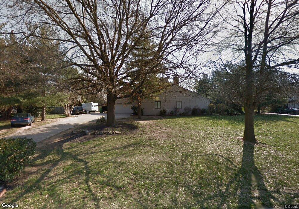
71 McBry Dr Dover, DE 19901
Kent Acres NeighborhoodEstimated Value: $627,000 - $729,000
4
Beds
4
Baths
3,540
Sq Ft
$186/Sq Ft
Est. Value
About This Home
This home is located at 71 McBry Dr, Dover, DE 19901 and is currently estimated at $660,199, approximately $186 per square foot. 71 McBry Dr is a home located in Kent County with nearby schools including W. Reily Brown Elementary School, Fred Fifer Middle School, and Caesar Rodney High School.
Ownership History
Date
Name
Owned For
Owner Type
Purchase Details
Closed on
Feb 5, 2013
Sold by
Brown Glenn P
Bought by
Brown Glenn P and Glenn P Brown Revocable Trust
Current Estimated Value
Purchase Details
Closed on
Sep 3, 2010
Sold by
Brown Dorothy M
Bought by
Brown Glenn P
Home Financials for this Owner
Home Financials are based on the most recent Mortgage that was taken out on this home.
Original Mortgage
$228,000
Interest Rate
3.75%
Mortgage Type
New Conventional
Purchase Details
Closed on
Nov 20, 2009
Sold by
Brown Glenn P and Brown Dorothy M
Bought by
Brown Dorothy M
Create a Home Valuation Report for This Property
The Home Valuation Report is an in-depth analysis detailing your home's value as well as a comparison with similar homes in the area
Home Values in the Area
Average Home Value in this Area
Purchase History
| Date | Buyer | Sale Price | Title Company |
|---|---|---|---|
| Brown Glenn P | -- | None Available | |
| Brown Glenn P | $350,000 | None Available | |
| Brown Dorothy M | -- | None Available |
Source: Public Records
Mortgage History
| Date | Status | Borrower | Loan Amount |
|---|---|---|---|
| Closed | Brown Glenn P | $228,000 |
Source: Public Records
Tax History
| Year | Tax Paid | Tax Assessment Tax Assessment Total Assessment is a certain percentage of the fair market value that is determined by local assessors to be the total taxable value of land and additions on the property. | Land | Improvement |
|---|---|---|---|---|
| 2025 | $2,632 | $562,100 | $103,600 | $458,500 |
| 2024 | $2,598 | $562,100 | $103,600 | $458,500 |
| 2023 | $3,047 | $106,200 | $15,100 | $91,100 |
| 2022 | $2,884 | $106,200 | $15,100 | $91,100 |
| 2021 | $2,853 | $106,200 | $15,100 | $91,100 |
| 2020 | $2,795 | $106,200 | $15,100 | $91,100 |
| 2019 | $2,696 | $106,200 | $15,100 | $91,100 |
| 2018 | $2,610 | $106,200 | $15,100 | $91,100 |
| 2017 | $2,544 | $106,200 | $0 | $0 |
| 2016 | $2,440 | $106,200 | $0 | $0 |
| 2015 | $2,082 | $106,200 | $0 | $0 |
| 2014 | $2,078 | $106,200 | $0 | $0 |
Source: Public Records
Map
Nearby Homes
- 137 McBry Dr
- 97 Glenda Rd
- 1679 S State St Unit A55
- 282 Beechwood Ave
- 238 S Governors Blvd
- 127 Roosevelt Ave
- 68 Saxton Rd
- 7 Steele Rd
- 168 N Governors Blvd
- 1694 S State St
- 137 President Dr
- 1895 Windswept Cir
- 89 S Shore Dr
- 100 S Shore Dr
- 1023 S State St
- 1810 Windswept Cir
- 1131 S Bay Rd Unit 20
- 55 Boyd Cir
- 128 Jillian Ct
- 949 Westview Terrace
Your Personal Tour Guide
Ask me questions while you tour the home.