71 Rocky Shore Rd Wolfeboro, NH 03894
Estimated Value: $1,449,000 - $2,424,000
4
Beds
2
Baths
2,515
Sq Ft
$797/Sq Ft
Est. Value
About This Home
This home is located at 71 Rocky Shore Rd, Wolfeboro, NH 03894 and is currently estimated at $2,004,892, approximately $797 per square foot. 71 Rocky Shore Rd is a home located in Carroll County with nearby schools including Carpenter Elementary School, Crescent Lake School, and Kingswood Regional Middle School.
Ownership History
Date
Name
Owned For
Owner Type
Purchase Details
Closed on
Sep 26, 2008
Sold by
Lindblad Ernest V
Bought by
Szmyd Lucian and Minahan Diane K
Current Estimated Value
Create a Home Valuation Report for This Property
The Home Valuation Report is an in-depth analysis detailing your home's value as well as a comparison with similar homes in the area
Home Values in the Area
Average Home Value in this Area
Purchase History
| Date | Buyer | Sale Price | Title Company |
|---|---|---|---|
| Szmyd Lucian | $1,300,000 | -- |
Source: Public Records
Mortgage History
| Date | Status | Borrower | Loan Amount |
|---|---|---|---|
| Open | Szmyd Lucian | $313,000 | |
| Closed | Szmyd Lucian | $200,000 | |
| Closed | Szmyd Lucian | $200,000 | |
| Closed | Szmyd Lucian | $380,000 |
Source: Public Records
Tax History Compared to Growth
Tax History
| Year | Tax Paid | Tax Assessment Tax Assessment Total Assessment is a certain percentage of the fair market value that is determined by local assessors to be the total taxable value of land and additions on the property. | Land | Improvement |
|---|---|---|---|---|
| 2024 | $19,503 | $1,226,600 | $970,200 | $256,400 |
| 2023 | $18,063 | $1,229,600 | $970,200 | $259,400 |
| 2022 | $16,255 | $1,229,600 | $970,200 | $259,400 |
| 2021 | $16,809 | $1,229,600 | $970,200 | $259,400 |
| 2020 | $15,997 | $1,229,600 | $970,200 | $259,400 |
| 2019 | $17,204 | $1,086,100 | $880,200 | $205,900 |
| 2018 | $17,353 | $1,098,300 | $880,200 | $218,100 |
| 2017 | $4,322 | $1,098,300 | $880,200 | $218,100 |
| 2016 | $16,068 | $1,098,300 | $880,200 | $218,100 |
| 2015 | $15,321 | $1,098,300 | $880,200 | $218,100 |
| 2014 | $17,735 | $1,363,200 | $1,100,200 | $263,000 |
| 2013 | $17,359 | $1,353,000 | $1,100,200 | $252,800 |
Source: Public Records
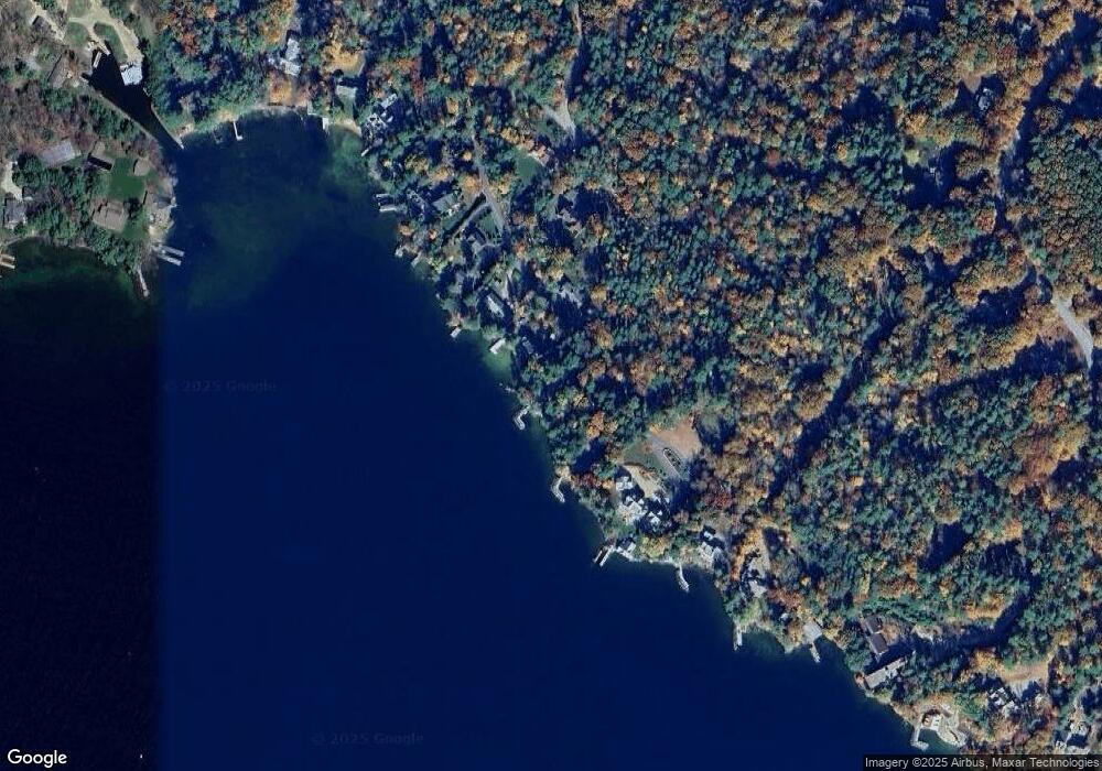
Map
Nearby Homes
- 20 Wyman Dr
- 0 Parker Island Rd Unit 10
- 208 Forest Rd
- 3 Cedar Dr
- 195 Sewall Rd
- 180 Sewall Rd
- 427 N Main St
- 222 N Main St
- 17 Waumbeck Rd
- 34 Harbor Way Unit 27
- 88 Ambrose Way
- 185 Ambrose Way
- 165 Ambrose Way
- 68 Railroad Ave Unit 3
- 163 Clark Rd
- 101 Tuftonboro Neck Rd
- 120 Big Barndoor Island
- 61 Lehner St
- 7 Loon St
- 21 Goodrich Rd
- 65 Rocky Shore Rd
- 75 Rocky Shore Rd
- 61 Rocky Shore Rd
- 87 Rocky Shore Rd
- 57 Rocky Shore Rd
- 68 Rocky Shore Rd
- 64 Rocky Shore Rd
- 350 Forest Rd
- 99 Rocky Shore Rd
- 49 Rocky Shore Rd
- 35 Rocky Shore Rd
- 31 Rocky Shore Rd
- 100 Spruce Rd
- 112 Spruce Rd
- 26 Parker Island Rd
- 94 Spruce Rd
- 346 Forest Rd
- 342 Forest Rd
- 32 Parker Island Rd
- 90 Spruce Rd