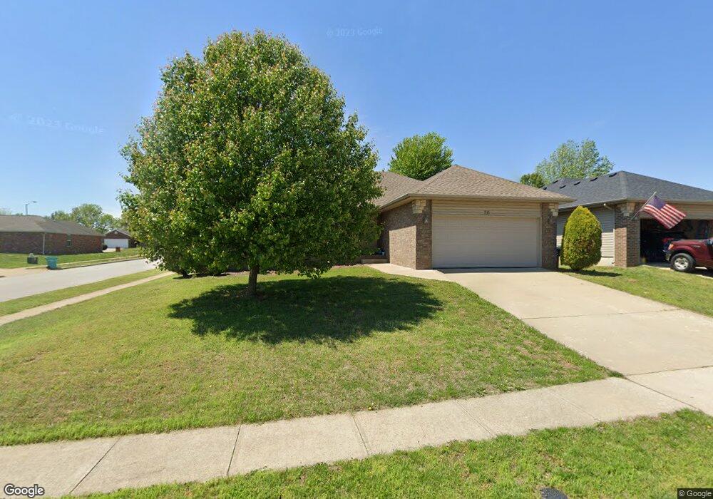
711 S Canton Ave Springfield, MO 65802
Young-Lilly NeighborhoodEstimated Value: $234,000 - $267,000
3
Beds
2
Baths
1,478
Sq Ft
$165/Sq Ft
Est. Value
About This Home
This home is located at 711 S Canton Ave, Springfield, MO 65802 and is currently estimated at $244,066, approximately $165 per square foot. 711 S Canton Ave is a home located in Greene County with nearby schools including Willard Orchard Hills Elementary School and Willard Intermediate-South.
Ownership History
Date
Name
Owned For
Owner Type
Purchase Details
Closed on
Mar 23, 2010
Sold by
Wade Larry and Wade Linda
Bought by
Bennett Sarah
Current Estimated Value
Home Financials for this Owner
Home Financials are based on the most recent Mortgage that was taken out on this home.
Original Mortgage
$110,854
Outstanding Balance
$74,456
Interest Rate
5.25%
Mortgage Type
FHA
Estimated Equity
$169,610
Create a Home Valuation Report for This Property
The Home Valuation Report is an in-depth analysis detailing your home's value as well as a comparison with similar homes in the area
Home Values in the Area
Average Home Value in this Area
Purchase History
| Date | Buyer | Sale Price | Title Company |
|---|---|---|---|
| Bennett Sarah | -- | None Available |
Source: Public Records
Mortgage History
| Date | Status | Borrower | Loan Amount |
|---|---|---|---|
| Open | Bennett Sarah | $110,854 |
Source: Public Records
Tax History
| Year | Tax Paid | Tax Assessment Tax Assessment Total Assessment is a certain percentage of the fair market value that is determined by local assessors to be the total taxable value of land and additions on the property. | Land | Improvement |
|---|---|---|---|---|
| 2025 | $1,838 | $33,990 | $5,700 | $28,290 |
| 2024 | $1,649 | $29,960 | $4,750 | $25,210 |
| 2023 | $1,643 | $29,960 | $4,750 | $25,210 |
| 2022 | $1,416 | $25,690 | $4,750 | $20,940 |
| 2021 | $1,417 | $25,690 | $4,750 | $20,940 |
| 2020 | $1,338 | $24,040 | $4,750 | $19,290 |
| 2019 | $1,332 | $24,040 | $4,750 | $19,290 |
| 2018 | $1,195 | $21,460 | $3,330 | $18,130 |
| 2017 | $1,185 | $20,600 | $3,330 | $17,270 |
| 2016 | $1,132 | $20,600 | $3,330 | $17,270 |
| 2015 | $1,123 | $20,600 | $3,330 | $17,270 |
| 2014 | $1,090 | $19,860 | $3,330 | $16,530 |
Source: Public Records
Map
Nearby Homes
- 651 S Mahn Ave
- 4418 W State St
- 4365 W Juno St
- 4442 W Tilden St
- 826 S Orchard Crest Ave
- 832 S Orchard Crest Ave
- 867 S Orchard Crest Ave
- 842 S Orchard Crest Ave
- 870 S Orchard Crest Ave
- 513 S Orchard Crest Ave
- 875 S Orchard Crest Ave
- 4407 W Nicholas St
- 4409 W Nicholas St
- 4562 W Tarkio St
- 804 S Jonathan Ave
- 3923 W Kay Pointe Blvd
- 3853 W Lombard St
- 4800 W Mount Vernon St
- 1189 S Casa Grande Ave
- 233 S Lulwood Ave
- 705 S Canton Ave
- 701 S Canton Ave
- 657 S Canton Ave
- 704 S Hazelnut Ave
- 4328 W Harrison St
- 4320 W Harrison St
- 724 S Hazelnut Ave
- 712 S Canton Ave
- 712 S Canton Ave
- 660 S Hazelnut Ave
- 706 S Canton Ave
- 4312 W Harrison St
- 658 S Canton Ave
- 730 S Hazelnut Ave
- 4306 W Harrison St
- 654 S Hazelnut Ave
- 652 S Canton Ave
- 4325 W State St
- 4317 W State St
- 645 S Canton Ave
Your Personal Tour Guide
Ask me questions while you tour the home.