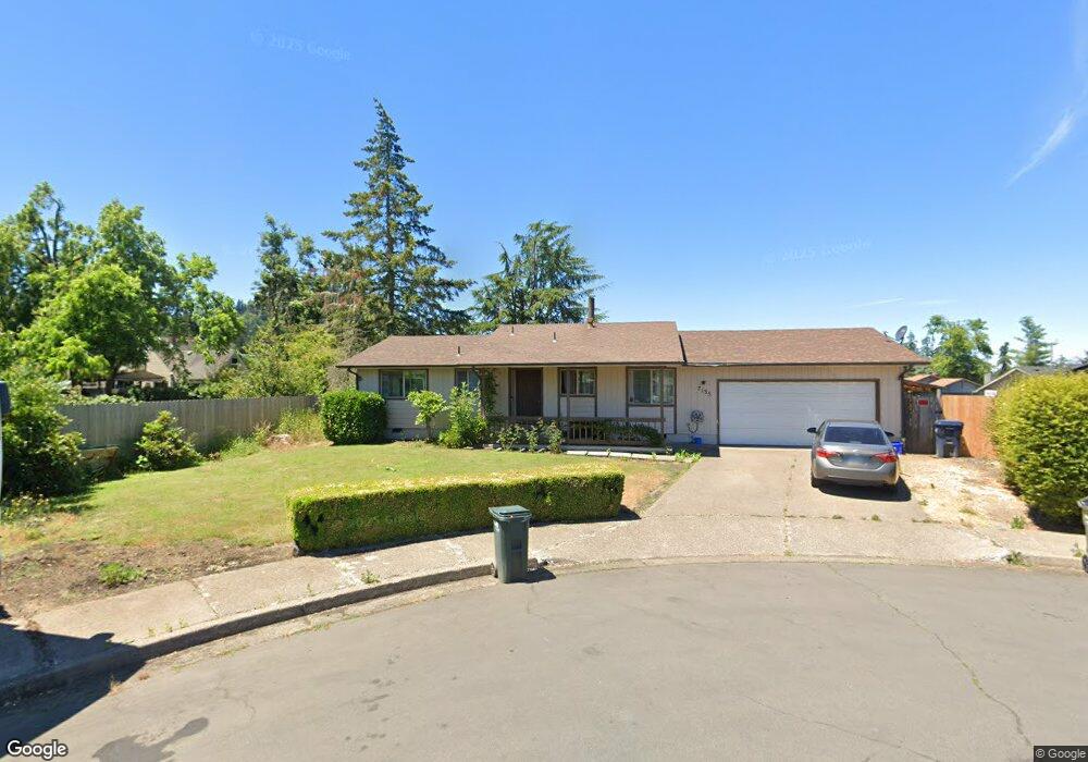
7135 A St Springfield, OR 97478
Thurston NeighborhoodEstimated Value: $328,000 - $356,000
3
Beds
1
Bath
856
Sq Ft
$399/Sq Ft
Est. Value
About This Home
This home is located at 7135 A St, Springfield, OR 97478 and is currently estimated at $341,435, approximately $398 per square foot. 7135 A St is a home located in Lane County with nearby schools including Thurston Elementary School, Thurston Middle School, and Thurston High School.
Create a Home Valuation Report for This Property
The Home Valuation Report is an in-depth analysis detailing your home's value as well as a comparison with similar homes in the area
Home Values in the Area
Average Home Value in this Area
Tax History
| Year | Tax Paid | Tax Assessment Tax Assessment Total Assessment is a certain percentage of the fair market value that is determined by local assessors to be the total taxable value of land and additions on the property. | Land | Improvement |
|---|---|---|---|---|
| 2025 | $2,928 | $159,662 | -- | -- |
| 2024 | $2,880 | $155,012 | -- | -- |
| 2023 | $2,880 | $150,498 | $0 | $0 |
| 2022 | $2,668 | $146,115 | $0 | $0 |
| 2021 | $2,620 | $141,860 | $0 | $0 |
| 2020 | $2,543 | $137,729 | $0 | $0 |
| 2019 | $2,467 | $133,718 | $0 | $0 |
| 2018 | $2,325 | $126,043 | $0 | $0 |
| 2017 | $2,236 | $126,043 | $0 | $0 |
| 2016 | $2,189 | $122,372 | $0 | $0 |
| 2015 | $2,127 | $118,808 | $0 | $0 |
| 2014 | $2,095 | $115,348 | $0 | $0 |
Source: Public Records
Map
Nearby Homes
- 353 71st St
- 246 S 70th St
- 6964 Bluebelle Way
- 6875 B St
- 250 68th St
- 616 S 71st St
- 0 Omlid Dr Unit 1 706471345
- 0 Omlid Dr Unit 11
- 0 Omlid Dr Unit 27 796722689
- 0 Omlid Dr Unit 26 256458253
- 0 Omlid Dr Unit 10
- 0 Omlid Dr Unit 3 154724851
- 0 Omlid Dr Unit 2 312357104
- 7027 S E St
- 0 S 69th Place
- 0 S 73rd St Unit 24191573
- 7080 Thurston Rd Unit 2
- 6898 Thurston Rd
- 555 66th St
- 6885 Simeon Dr
Your Personal Tour Guide
Ask me questions while you tour the home.