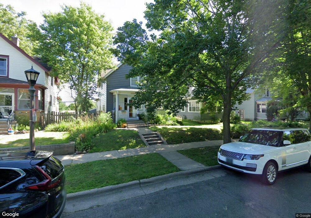
715 Simon Ave Saint Paul, MN 55117
Como Park NeighborhoodEstimated Value: $302,000 - $341,000
3
Beds
2
Baths
1,430
Sq Ft
$225/Sq Ft
Est. Value
About This Home
This home is located at 715 Simon Ave, Saint Paul, MN 55117 and is currently estimated at $321,149, approximately $224 per square foot. 715 Simon Ave is a home located in Ramsey County with nearby schools including Como Park Elementary School, Murray Middle School, and Como Park Senior High School.
Ownership History
Date
Name
Owned For
Owner Type
Purchase Details
Closed on
Aug 13, 2021
Sold by
Tincher Jaime R
Bought by
Smolich Alexander and Poderzay Maryssa
Current Estimated Value
Home Financials for this Owner
Home Financials are based on the most recent Mortgage that was taken out on this home.
Original Mortgage
$290,000
Interest Rate
2.8%
Mortgage Type
New Conventional
Purchase Details
Closed on
Sep 23, 2016
Sold by
Sheff Morgan and Sheff Amy
Bought by
Duinick Jaime R
Home Financials for this Owner
Home Financials are based on the most recent Mortgage that was taken out on this home.
Original Mortgage
$212,800
Interest Rate
3.43%
Mortgage Type
New Conventional
Purchase Details
Closed on
Oct 26, 2000
Sold by
Germain Raphael E and Germain Elisabeth B
Bought by
Gemberling Samantha J
Create a Home Valuation Report for This Property
The Home Valuation Report is an in-depth analysis detailing your home's value as well as a comparison with similar homes in the area
Home Values in the Area
Average Home Value in this Area
Purchase History
| Date | Buyer | Sale Price | Title Company |
|---|---|---|---|
| Smolich Alexander | $290,000 | None Listed On Document | |
| Duinick Jaime R | $230,788 | Titlesmart Inc | |
| Gemberling Samantha J | $130,000 | -- |
Source: Public Records
Mortgage History
| Date | Status | Borrower | Loan Amount |
|---|---|---|---|
| Previous Owner | Smolich Alexander | $290,000 | |
| Previous Owner | Duinick Jaime R | $212,800 |
Source: Public Records
Tax History Compared to Growth
Tax History
| Year | Tax Paid | Tax Assessment Tax Assessment Total Assessment is a certain percentage of the fair market value that is determined by local assessors to be the total taxable value of land and additions on the property. | Land | Improvement |
|---|---|---|---|---|
| 2025 | $4,362 | $308,800 | $35,700 | $273,100 |
| 2023 | $4,362 | $288,700 | $35,700 | $253,000 |
| 2022 | $4,098 | $266,300 | $35,700 | $230,600 |
| 2021 | $3,776 | $248,100 | $35,700 | $212,400 |
| 2020 | $3,842 | $239,600 | $35,700 | $203,900 |
| 2019 | $3,810 | $226,500 | $35,700 | $190,800 |
| 2018 | $3,444 | $221,800 | $35,700 | $186,100 |
| 2017 | $2,298 | $205,800 | $28,600 | $177,200 |
| 2016 | $2,562 | $0 | $0 | $0 |
| 2015 | $2,116 | $156,600 | $28,600 | $128,000 |
| 2014 | $1,780 | $0 | $0 | $0 |
Source: Public Records
Map
Nearby Homes
- 1063 Dale St N
- 705 Como Ave
- 740 Como Ave
- 1049 Kent St
- 352 Como Ave
- 569 Hatch Ave
- 1104 MacKubin St
- 552 Burgess St
- 766 Maryland Ave W
- 989 Barrett St
- 1241 Maywood St
- 1165 Norton St
- 1176 Norton St
- 1005 Como Blvd E
- 1175 Arundel St
- 1040 Cumberland St
- 1038 Colne St
- 895 Front Ave
- 1083 Western Ave N
- tbd MacKubin St