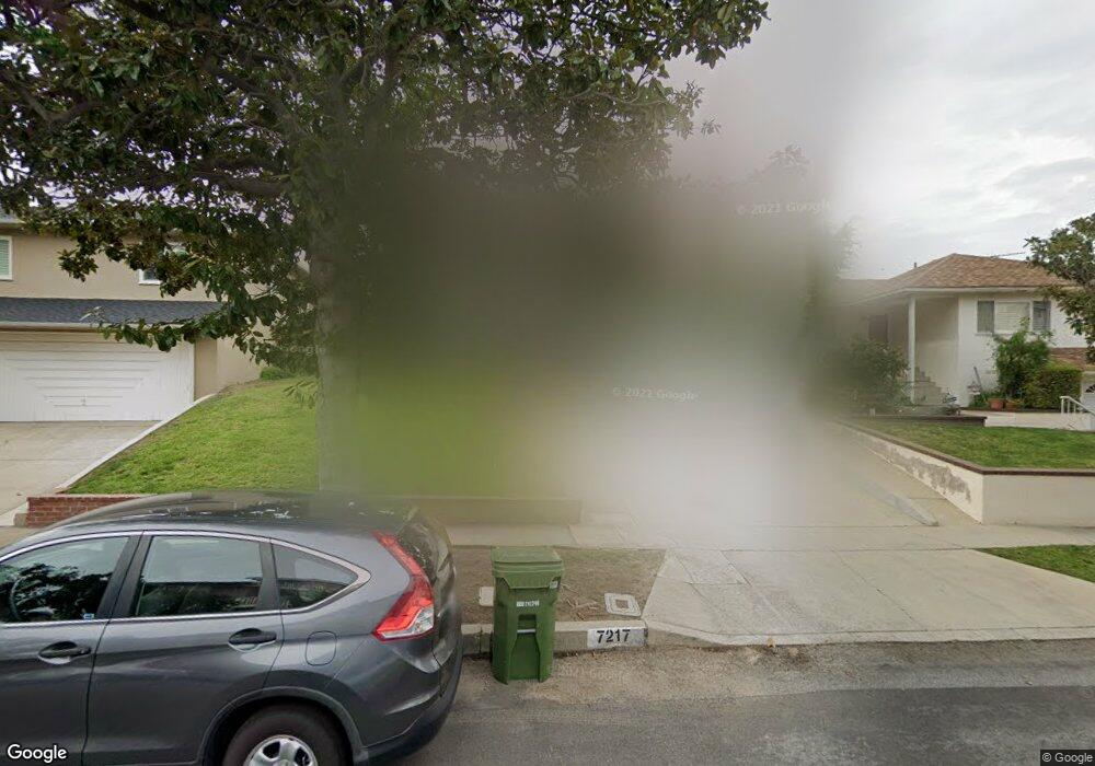
7217 Mccool Ave Los Angeles, CA 90045
Westchester NeighborhoodEstimated Value: $1,507,000 - $1,989,000
3
Beds
2
Baths
1,450
Sq Ft
$1,238/Sq Ft
Est. Value
About This Home
This home is located at 7217 Mccool Ave, Los Angeles, CA 90045 and is currently estimated at $1,795,572, approximately $1,238 per square foot. 7217 Mccool Ave is a home located in Los Angeles County with nearby schools including Cowan Avenue Elementary School, Wright Middle School STEAM Magnet, and Westchester Enriched Sciences Magnets.
Ownership History
Date
Name
Owned For
Owner Type
Purchase Details
Closed on
Apr 21, 2022
Sold by
Lorick Kathleen
Bought by
Kathleen Lorick Family Revocable Trust and Lorick
Current Estimated Value
Purchase Details
Closed on
Dec 7, 2010
Sold by
Lorick Kathleen A
Bought by
Lorick Kathleen
Home Financials for this Owner
Home Financials are based on the most recent Mortgage that was taken out on this home.
Original Mortgage
$204,000
Interest Rate
4.18%
Mortgage Type
New Conventional
Purchase Details
Closed on
Jan 2, 1996
Sold by
Lorick Gregory A
Bought by
Lorick Kathleen A
Create a Home Valuation Report for This Property
The Home Valuation Report is an in-depth analysis detailing your home's value as well as a comparison with similar homes in the area
Home Values in the Area
Average Home Value in this Area
Purchase History
| Date | Buyer | Sale Price | Title Company |
|---|---|---|---|
| Kathleen Lorick Family Revocable Trust | -- | Saenz Edgar | |
| Lorick Kathleen | -- | Chicago Title Company | |
| Lorick Kathleen A | -- | -- |
Source: Public Records
Mortgage History
| Date | Status | Borrower | Loan Amount |
|---|---|---|---|
| Previous Owner | Lorick Kathleen | $204,000 |
Source: Public Records
Tax History Compared to Growth
Tax History
| Year | Tax Paid | Tax Assessment Tax Assessment Total Assessment is a certain percentage of the fair market value that is determined by local assessors to be the total taxable value of land and additions on the property. | Land | Improvement |
|---|---|---|---|---|
| 2025 | $6,190 | $505,631 | $310,215 | $195,416 |
| 2024 | $6,190 | $495,718 | $304,133 | $191,585 |
| 2023 | $6,076 | $485,999 | $298,170 | $187,829 |
| 2022 | $5,802 | $476,471 | $292,324 | $184,147 |
| 2021 | $5,724 | $467,130 | $286,593 | $180,537 |
| 2019 | $5,555 | $453,277 | $278,094 | $175,183 |
| 2018 | $5,452 | $444,391 | $272,642 | $171,749 |
| 2016 | $5,207 | $427,137 | $262,056 | $165,081 |
| 2015 | $5,131 | $420,722 | $258,120 | $162,602 |
| 2014 | $5,154 | $412,481 | $253,064 | $159,417 |
Source: Public Records
Map
Nearby Homes
- 6534 Kentwood Bluffs Dr
- 7024 Kentwood Ave
- 7404 Kentwood Ave
- 6427 Hedding St
- 7449 Kentwood Ave
- 6882 Arizona Ave
- 7221 Arizona Ave
- 7733 Henefer Ave
- 7403 S Sepulveda Blvd Unit 108
- 7456 Denrock Ave
- 7831 Beland Ave
- 11814 Beatrice St
- 6154 W 75th Place
- 7920 Anise Ave Unit 1
- 8004 El Manor Ave
- 8008 El Manor Ave
- 11946 Aneta St
- 6322 W 78th Place
- 7403 Stewart Ave
- 7833 Denrock Ave
- 7213 Mccool Ave
- 7221 Mccool Ave
- 7207 Mccool Ave
- 7225 Mccool Ave
- 7200 Kentwood Ave
- 7206 Kentwood Ave
- 7126 Kentwood Ave
- 7212 Kentwood Ave
- 7214 Mccool Ave
- 7231 Mccool Ave
- 6466 Nancy St
- 6454 Nancy St
- 7120 Kentwood Ave
- 7216 Kentwood Ave
- 6472 Nancy St
- 7224 Mccool Ave
- 6448 Nancy St
- 7235 Mccool Ave
- 7222 Kentwood Ave
- 7222 Kentwood Ave