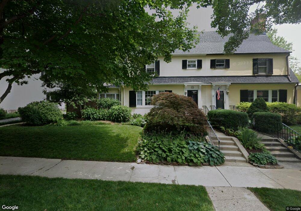
722 Nottingham Rd Wilmington, DE 19805
Wawaset NeighborhoodEstimated Value: $528,493 - $663,000
4
Beds
1
Bath
1,821
Sq Ft
$344/Sq Ft
Est. Value
About This Home
This home is located at 722 Nottingham Rd, Wilmington, DE 19805 and is currently estimated at $625,623, approximately $343 per square foot. 722 Nottingham Rd is a home located in New Castle County with nearby schools including Joseph E. Johnson Elementary School, Alexis I. du Pont Middle School, and Alexis I. du Pont High School.
Ownership History
Date
Name
Owned For
Owner Type
Purchase Details
Closed on
Jun 10, 2004
Sold by
Horner Katherine A
Bought by
Jones Gregory Knox and Jones Camilla Cofer
Current Estimated Value
Home Financials for this Owner
Home Financials are based on the most recent Mortgage that was taken out on this home.
Original Mortgage
$215,000
Outstanding Balance
$94,407
Interest Rate
4.5%
Mortgage Type
Purchase Money Mortgage
Estimated Equity
$531,216
Create a Home Valuation Report for This Property
The Home Valuation Report is an in-depth analysis detailing your home's value as well as a comparison with similar homes in the area
Home Values in the Area
Average Home Value in this Area
Purchase History
| Date | Buyer | Sale Price | Title Company |
|---|---|---|---|
| Jones Gregory Knox | $416,130 | -- |
Source: Public Records
Mortgage History
| Date | Status | Borrower | Loan Amount |
|---|---|---|---|
| Open | Jones Gregory Knox | $215,000 | |
| Closed | Jones Gregory Knox | $125,000 |
Source: Public Records
Tax History Compared to Growth
Tax History
| Year | Tax Paid | Tax Assessment Tax Assessment Total Assessment is a certain percentage of the fair market value that is determined by local assessors to be the total taxable value of land and additions on the property. | Land | Improvement |
|---|---|---|---|---|
| 2024 | $2,474 | $95,300 | $26,300 | $69,000 |
| 2023 | $2,084 | $95,300 | $26,300 | $69,000 |
| 2022 | $2,096 | $95,300 | $26,300 | $69,000 |
| 2021 | $2,192 | $95,300 | $26,300 | $69,000 |
| 2020 | $2,207 | $95,300 | $26,300 | $69,000 |
| 2019 | $4,122 | $95,300 | $26,300 | $69,000 |
| 2018 | $2,195 | $95,300 | $26,300 | $69,000 |
| 2017 | $2,190 | $95,300 | $26,300 | $69,000 |
| 2016 | $1,955 | $95,300 | $26,300 | $69,000 |
| 2015 | $3,538 | $95,300 | $26,300 | $69,000 |
| 2014 | $3,334 | $95,300 | $26,300 | $69,000 |
Source: Public Records
Map
Nearby Homes
- 2305 Macdonough Rd
- 2203 Highland Place
- 1603 Greenhill Ave
- 2401 Pennsylvania Ave Unit 1406
- 2735 W 3rd St
- 1321 Woodlawn Ave
- 230 Woodlawn Ave
- 1404 Riverview Ave
- 2203 Pyle St
- 305 N Ogle Ave
- 505 N Lincoln St
- 3000 Conrad St
- 1601 Greenhill Ave
- 1805 W 10th St
- 504 N Lincoln St
- 1025 N Scott St
- 1406 N Grant Ave
- 1911 W 3rd St
- 1816 W 5th St
- 1704 W 9th St
- 726 Nottingham Rd
- 720 Nottingham Rd
- 717 Coverdale Rd
- 719 Coverdale Rd
- 718 Nottingham Rd
- 715 Coverdale Rd
- 721 Coverdale Rd
- 728 Nottingham Rd
- 713 Coverdale Rd
- 723 Coverdale Rd
- 716 Nottingham Rd
- 727 Nottingham Rd
- 723 Nottingham Rd
- 711 Coverdale Rd
- 725 Coverdale Rd
- 709 Coverdale Rd
- 721 Nottingham Rd
- 719 Nottingham Rd
- 707 Coverdale Rd
- 729 Nottingham Rd