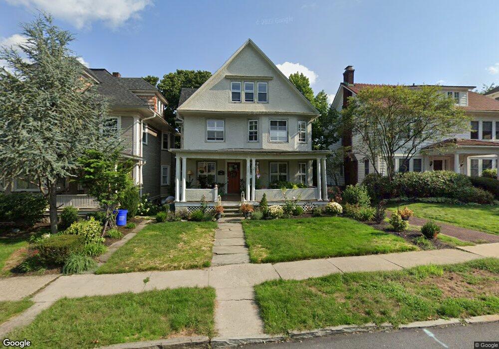
722 Taylor Ave Scranton, PA 18510
Hill Section NeighborhoodEstimated Value: $149,053 - $321,000
Studio
--
Bath
--
Sq Ft
6,360
Sq Ft
About This Home
This home is located at 722 Taylor Ave, Scranton, PA 18510 and is currently estimated at $254,763. 722 Taylor Ave is a home located in Lackawanna County with nearby schools including William Prescott School, Northeast Scranton Intermediate School, and Scranton High School.
Ownership History
Date
Name
Owned For
Owner Type
Purchase Details
Closed on
Sep 30, 2010
Sold by
Margulies Herman and Margulies Hannah
Bought by
Preno Russell
Current Estimated Value
Home Financials for this Owner
Home Financials are based on the most recent Mortgage that was taken out on this home.
Original Mortgage
$11,739
Outstanding Balance
$7,750
Interest Rate
4.36%
Mortgage Type
Unknown
Estimated Equity
$247,013
Create a Home Valuation Report for This Property
The Home Valuation Report is an in-depth analysis detailing your home's value as well as a comparison with similar homes in the area
Home Values in the Area
Average Home Value in this Area
Purchase History
| Date | Buyer | Sale Price | Title Company |
|---|---|---|---|
| Preno Russell | $90,000 | None Available |
Source: Public Records
Mortgage History
| Date | Status | Borrower | Loan Amount |
|---|---|---|---|
| Open | Preno Russell | $11,739 | |
| Open | Preno Russell | $127,800 |
Source: Public Records
Tax History
| Year | Tax Paid | Tax Assessment Tax Assessment Total Assessment is a certain percentage of the fair market value that is determined by local assessors to be the total taxable value of land and additions on the property. | Land | Improvement |
|---|---|---|---|---|
| 2025 | $6,043 | $16,000 | $7,100 | $8,900 |
| 2024 | $5,582 | $16,000 | $7,100 | $8,900 |
| 2023 | $5,582 | $16,000 | $7,100 | $8,900 |
| 2022 | $5,461 | $16,000 | $7,100 | $8,900 |
| 2021 | $5,461 | $16,000 | $7,100 | $8,900 |
| 2020 | $5,375 | $16,000 | $7,100 | $8,900 |
| 2019 | $5,075 | $16,000 | $7,100 | $8,900 |
| 2018 | $5,075 | $16,000 | $7,100 | $8,900 |
| 2017 | $5,000 | $16,000 | $7,100 | $8,900 |
| 2016 | $2,101 | $16,000 | $7,100 | $8,900 |
| 2015 | $3,586 | $16,000 | $7,100 | $8,900 |
| 2014 | -- | $16,000 | $7,100 | $8,900 |
Source: Public Records
Map
Nearby Homes
- 1318 Pine St
- 7 Oakwood Place
- 529 Taylor Ave
- 616-618 Harrison Ave
- 917 Taylor Ave
- 1513 1515 Vine St
- 516 Harrison Ave
- 432 Taylor Ave
- 810 Wheeler Ave
- 825 827 Quincy Ave Unit 825-827
- 1406 Ash St
- 0 Colfax and Gibson Ave Unit GSBSC255175
- 1018 N Webster Ave
- 0 Colfax Ave
- 1017 Prescott Ave
- 619 Arthur Ave
- 617 Arthur Ave
- 615 Arthur Ave
- 342 Harrison Ave
- 802 Madison Ave
- 726 Taylor Ave
- 718 Taylor Ave
- 730 Taylor Ave
- 714 Taylor Ave
- 732 Taylor Ave
- 721 N Irving Ave
- 723 N Irving Ave
- 738 Taylor Ave Unit 740
- 719 N Irving Ave
- 700 Taylor Ave
- 700 Taylor Ave Unit BLK
- 715 N Irving Ave
- 725 N Irving Ave
- 713 N Irving Ave
- 727 N Irving Ave
- 715 Taylor Ave
- 733-735 Taylor Ave
- 735 Taylor Ave
- 1323 Pine St
- 711 Taylor Ave
Your Personal Tour Guide
Ask me questions while you tour the home.