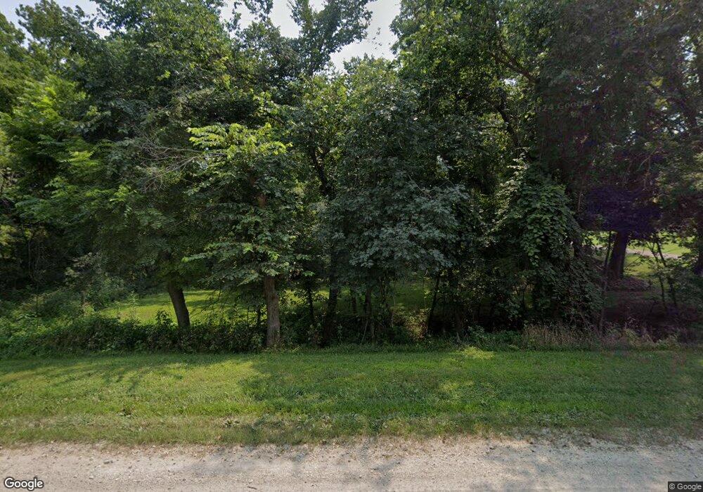
723 N 1851st Diag Rd Lecompton, KS 66050
Scenic Riverway NeighborhoodEstimated Value: $496,000 - $537,204
3
Beds
3
Baths
1,832
Sq Ft
$282/Sq Ft
Est. Value
About This Home
This home is located at 723 N 1851st Diag Rd, Lecompton, KS 66050 and is currently estimated at $516,602, approximately $281 per square foot. 723 N 1851st Diag Rd is a home located in Douglas County with nearby schools including Lecompton Elementary School, Perry-Lecompton Middle School, and Perry-Lecompton High School.
Ownership History
Date
Name
Owned For
Owner Type
Purchase Details
Closed on
Nov 20, 2017
Sold by
Kellum David W and Kellum Penny R
Bought by
Kellum David W and Kellum Penny R
Current Estimated Value
Home Financials for this Owner
Home Financials are based on the most recent Mortgage that was taken out on this home.
Original Mortgage
$65,000
Interest Rate
3.19%
Mortgage Type
New Conventional
Create a Home Valuation Report for This Property
The Home Valuation Report is an in-depth analysis detailing your home's value as well as a comparison with similar homes in the area
Home Values in the Area
Average Home Value in this Area
Purchase History
| Date | Buyer | Sale Price | Title Company |
|---|---|---|---|
| Kellum David W | -- | Security 1St Title |
Source: Public Records
Mortgage History
| Date | Status | Borrower | Loan Amount |
|---|---|---|---|
| Closed | Kellum David W | $65,000 |
Source: Public Records
Tax History Compared to Growth
Tax History
| Year | Tax Paid | Tax Assessment Tax Assessment Total Assessment is a certain percentage of the fair market value that is determined by local assessors to be the total taxable value of land and additions on the property. | Land | Improvement |
|---|---|---|---|---|
| 2025 | $6,067 | $52,643 | $8,839 | $43,804 |
| 2024 | $5,639 | $49,097 | $8,557 | $40,540 |
| 2023 | $5,572 | $46,841 | $7,994 | $38,847 |
| 2022 | $5,146 | $41,855 | $6,867 | $34,988 |
| 2021 | $4,302 | $33,535 | $6,754 | $26,781 |
| 2020 | $4,094 | $32,427 | $6,754 | $25,673 |
| 2019 | $3,918 | $31,080 | $6,529 | $24,551 |
| 2018 | $3,815 | $30,193 | $6,448 | $23,745 |
| 2017 | $3,796 | $29,880 | $6,448 | $23,432 |
| 2016 | $3,617 | $28,935 | $4,244 | $24,691 |
| 2015 | $3,477 | $28,325 | $4,244 | $24,081 |
| 2014 | $3,230 | $26,403 | $4,244 | $22,159 |
Source: Public Records
Map
Nearby Homes
- 719 N 1851st Diag Rd
- 719 N 1851 Diagonald Rd
- 739 N 1851st Diag Rd
- 726 N 1851st Diag Rd
- 734 N 1851st Diag Rd
- 732 N 1851st Diag Rd
- 743 N 1851st Diag Rd
- 747 N 1851st Diag Rd
- 740 N 1851st Diag Rd
- 755 N 1851st Diag Rd
- 668 N 1851st Diag Rd
- 2015 E 773rd Rd
- 763 N 1851st Diag Rd
- 680 N 1851st Diag Rd
- 760 N 1851st Diag Rd
- 2042 E 773rd Rd
- 691 N 2050th Rd
- 687 N 2050th Rd
- 687 N 2050th Rd
- 656 N 1851st Diag Rd
