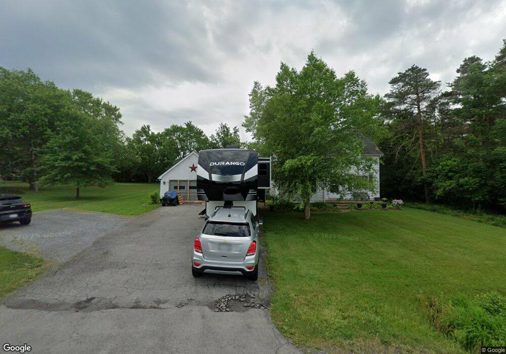
7233 Michael Rd Orchard Park, NY 14127
Estimated Value: $300,000 - $350,000
4
Beds
1
Bath
1,750
Sq Ft
$181/Sq Ft
Est. Value
About This Home
This home is located at 7233 Michael Rd, Orchard Park, NY 14127 and is currently estimated at $316,634, approximately $180 per square foot. 7233 Michael Rd is a home located in Erie County with nearby schools including Windom Elementary School, Orchard Park Middle School, and Orchard Park High School.
Ownership History
Date
Name
Owned For
Owner Type
Purchase Details
Closed on
Sep 19, 2005
Sold by
Buchbinder Leo P and Buchbinder Constance
Bought by
Wooliver Ryan P
Current Estimated Value
Home Financials for this Owner
Home Financials are based on the most recent Mortgage that was taken out on this home.
Original Mortgage
$111,625
Outstanding Balance
$59,682
Interest Rate
5.84%
Mortgage Type
Fannie Mae Freddie Mac
Estimated Equity
$256,952
Create a Home Valuation Report for This Property
The Home Valuation Report is an in-depth analysis detailing your home's value as well as a comparison with similar homes in the area
Home Values in the Area
Average Home Value in this Area
Purchase History
| Date | Buyer | Sale Price | Title Company |
|---|---|---|---|
| Wooliver Ryan P | $117,500 | None Available |
Source: Public Records
Mortgage History
| Date | Status | Borrower | Loan Amount |
|---|---|---|---|
| Open | Wooliver Ryan P | $111,625 |
Source: Public Records
Tax History Compared to Growth
Tax History
| Year | Tax Paid | Tax Assessment Tax Assessment Total Assessment is a certain percentage of the fair market value that is determined by local assessors to be the total taxable value of land and additions on the property. | Land | Improvement |
|---|---|---|---|---|
| 2024 | $5,230 | $72,800 | $14,800 | $58,000 |
| 2023 | $5,080 | $72,800 | $14,800 | $58,000 |
| 2022 | $4,949 | $72,800 | $14,800 | $58,000 |
| 2021 | $4,992 | $72,800 | $14,800 | $58,000 |
| 2020 | $4,279 | $72,800 | $14,800 | $58,000 |
| 2019 | $3,797 | $72,800 | $14,800 | $58,000 |
| 2018 | $4,073 | $72,800 | $14,800 | $58,000 |
| 2017 | $1,888 | $72,800 | $14,800 | $58,000 |
| 2016 | $3,826 | $72,800 | $14,800 | $58,000 |
| 2015 | -- | $72,800 | $14,800 | $58,000 |
| 2014 | -- | $72,800 | $14,800 | $58,000 |
Source: Public Records
Map
Nearby Homes
- 3105 Baker Rd
- 30 Hastings Dr
- 3217 Baker Rd
- 2931 Southwestern Blvd
- 0 V L Angle Rd Unit B1624839
- 914 Reserve Rd
- 73 Southwick Dr
- 81 Carla Ln
- 78 Shawnee Place
- 11 Bradwood Rd
- 80 Greenspring Ct
- 3310 Angle Rd
- Heritage II Plan at Greenspring Reserve
- Patio C Plan at Greenspring Reserve
- Advantage IX Plan at Greenspring Reserve
- Discovery IX Plan at Greenspring Reserve
- Advantage X Plan at Greenspring Reserve
- Discovery XIV Plan at Greenspring Reserve
- Patio B Plan at Greenspring Reserve
- Discovery XI Plan at Greenspring Reserve
- 7255 Michael Rd
- 7244 Michael Rd
- 7224 Michael Rd
- 7273 Michael Rd
- 7264 Michael Rd
- V/L Michael Rd
- Lot Michael Rd
- 3035 Baker Rd
- 7200 Michael Rd
- 7274 Michael Rd
- 3020 Baker Rd
- 7283 Michael Rd
- 3024 Baker Rd
- 7180 Michael Rd Unit 71
- 3030 Baker Rd
- 7294 Michael Rd
- 7168 Michael Rd
- 7303 Michael Rd
- 8 Chisholm Trail
- 7159 Michael Rd Unit 71