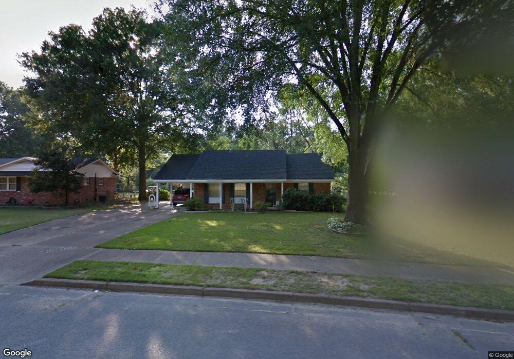
7247 Renda St Millington, TN 38053
Estimated Value: $202,000 - $223,188
3
Beds
2
Baths
1,340
Sq Ft
$159/Sq Ft
Est. Value
About This Home
This home is located at 7247 Renda St, Millington, TN 38053 and is currently estimated at $213,047, approximately $158 per square foot. 7247 Renda St is a home located in Shelby County with nearby schools including Millington Elementary School, Millington High School, and Faith Heritage Christian Academy.
Ownership History
Date
Name
Owned For
Owner Type
Purchase Details
Closed on
Mar 1, 2002
Sold by
Dufrene Jo Ann
Bought by
Dufrene Jo Ann and The Jo Ann Dufrene Revocable Living Tr
Current Estimated Value
Purchase Details
Closed on
Sep 22, 1997
Sold by
Klenk Jimmy C and Klenk Joanne Hill
Bought by
Hooten Jo Ann
Home Financials for this Owner
Home Financials are based on the most recent Mortgage that was taken out on this home.
Original Mortgage
$59,900
Outstanding Balance
$7,595
Interest Rate
5.75%
Estimated Equity
$205,452
Create a Home Valuation Report for This Property
The Home Valuation Report is an in-depth analysis detailing your home's value as well as a comparison with similar homes in the area
Purchase History
| Date | Buyer | Sale Price | Title Company |
|---|---|---|---|
| Dufrene Jo Ann | -- | -- | |
| Hooten Jo Ann | $79,900 | -- | |
| Hooten Jo Ann | $79,900 | -- |
Source: Public Records
Mortgage History
| Date | Status | Borrower | Loan Amount |
|---|---|---|---|
| Open | Hooten Jo Ann | $59,900 | |
| Closed | Hooten Jo Ann | $59,900 |
Source: Public Records
Tax History
| Year | Tax Paid | Tax Assessment Tax Assessment Total Assessment is a certain percentage of the fair market value that is determined by local assessors to be the total taxable value of land and additions on the property. | Land | Improvement |
|---|---|---|---|---|
| 2025 | $2,500 | $49,325 | $6,350 | $42,975 |
| 2024 | $2,500 | $36,875 | $5,275 | $31,600 |
| 2023 | $1,766 | $36,875 | $5,275 | $31,600 |
| 2022 | $1,766 | $36,875 | $5,275 | $31,600 |
| 2021 | $1,788 | $36,875 | $5,275 | $31,600 |
| 2020 | $1,402 | $25,125 | $5,025 | $20,100 |
| 2019 | $1,018 | $25,125 | $5,025 | $20,100 |
| 2018 | $1,402 | $25,125 | $5,025 | $20,100 |
| 2017 | $1,417 | $25,125 | $5,025 | $20,100 |
| 2016 | $1,397 | $23,675 | $0 | $0 |
| 2014 | $1,035 | $23,675 | $0 | $0 |
Source: Public Records
Map
Nearby Homes
- 7202 Renda St
- 7190 Juana Dr
- 7395 Barrett Oaks Dr W
- 4532 Basun Cir N Unit 25
- 4532 Basun Cir N
- 7011 Alder Wood Dr
- 7007 Juana Dr
- 5032 Clear Creek Dr
- 4325 Peach Run Lane Ln
- 4310 Peach Run Lane Ln
- 4321 Peach Run Ln
- 4703 Cedar Rose Dr
- 6845 Juana Dr
- 4526 Basun Cir N
- 4544 Basun Cir N Unit Lot 27
- 4544 Basun Cir N
- 4536 Basun Cir N Unit 26
- 4522 Basun Cir N Unit 41
- 4553 Basun Cir N Unit Lot 28
- 4520 Basun Cir N Unit 23
Your Personal Tour Guide
Ask me questions while you tour the home.