Estimated Value: $170,244 - $193,000
2
Beds
1
Bath
1,182
Sq Ft
$151/Sq Ft
Est. Value
About This Home
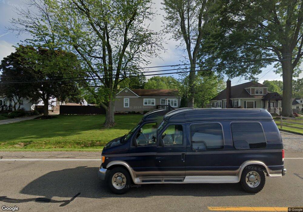
This home is located at 727 Killian Rd, Akron, OH 44319 and is currently estimated at $178,561, approximately $151 per square foot. 727 Killian Rd is a home located in Summit County with nearby schools including Springfield High School, Eagle Elementary, and Chapel Hill Christian School-Green Campus.
Ownership History
Date
Name
Owned For
Owner Type
Purchase Details
Closed on
Jul 24, 2018
Sold by
Biasella Christopher T and Biasella Sarah J
Bought by
Bostis Industrail Park Inc
Current Estimated Value
Purchase Details
Closed on
Feb 28, 2017
Sold by
Biasella Sarah J
Bought by
Biasella Christopher T and Biasella Christopher T
Home Financials for this Owner
Home Financials are based on the most recent Mortgage that was taken out on this home.
Original Mortgage
$109,200
Interest Rate
4.19%
Mortgage Type
Future Advance Clause Open End Mortgage
Purchase Details
Closed on
Aug 10, 2000
Sold by
Norton James A
Bought by
Biasella Sarah J
Home Financials for this Owner
Home Financials are based on the most recent Mortgage that was taken out on this home.
Original Mortgage
$69,700
Interest Rate
10.99%
Create a Home Valuation Report for This Property
The Home Valuation Report is an in-depth analysis detailing your home's value as well as a comparison with similar homes in the area
Home Values in the Area
Average Home Value in this Area
Purchase History
| Date | Buyer | Sale Price | Title Company |
|---|---|---|---|
| Bostis Industrail Park Inc | $113,000 | First Security Title | |
| Biasella Christopher T | -- | Title 365 | |
| Biasella Sarah J | $68,000 | Approved Statewide Title Age |
Source: Public Records
Mortgage History
| Date | Status | Borrower | Loan Amount |
|---|---|---|---|
| Previous Owner | Biasella Christopher T | $109,200 | |
| Previous Owner | Biasella Sarah J | $69,700 |
Source: Public Records
Tax History Compared to Growth
Tax History
| Year | Tax Paid | Tax Assessment Tax Assessment Total Assessment is a certain percentage of the fair market value that is determined by local assessors to be the total taxable value of land and additions on the property. | Land | Improvement |
|---|---|---|---|---|
| 2025 | $2,404 | $40,495 | $11,340 | $29,155 |
| 2024 | $2,404 | $40,495 | $11,340 | $29,155 |
| 2023 | $2,404 | $40,495 | $11,340 | $29,155 |
| 2022 | $2,396 | $34,143 | $9,450 | $24,693 |
| 2021 | $2,271 | $34,143 | $9,450 | $24,693 |
| 2020 | $2,224 | $34,140 | $9,450 | $24,690 |
| 2019 | $1,994 | $27,980 | $7,710 | $20,270 |
| 2018 | $1,923 | $27,980 | $7,710 | $20,270 |
| 2017 | $1,906 | $27,980 | $7,710 | $20,270 |
| 2016 | $1,923 | $27,980 | $7,710 | $20,270 |
| 2015 | $1,906 | $27,980 | $7,710 | $20,270 |
| 2014 | $1,824 | $27,980 | $7,710 | $20,270 |
| 2013 | $1,907 | $29,020 | $7,710 | $21,310 |
Source: Public Records
Map
Nearby Homes
- 960 Impala Dr
- 652 S Sheraton Dr
- 1088 Buena Vista Dr
- 3145 Daisy Ave
- 652 Bobwhite Trail
- 3113 Sparrows Crest
- 1254 Maxfli Dr
- 2872 Ironwood Dr
- 3025 Lamb Dr
- 2188 Stahl Rd
- 0 Fortuna Dr Unit 5005346
- 0 Bayview Terrace
- 1292 Ashwood Rd
- 399 Abbyshire Rd
- 435 Bonshire Rd
- 61 Leicester Dr
- 1043 Krumroy Rd
- 1096 Cookhill Cir Unit 50
- 2802 Hartford Ln
- 3350 S Main St
