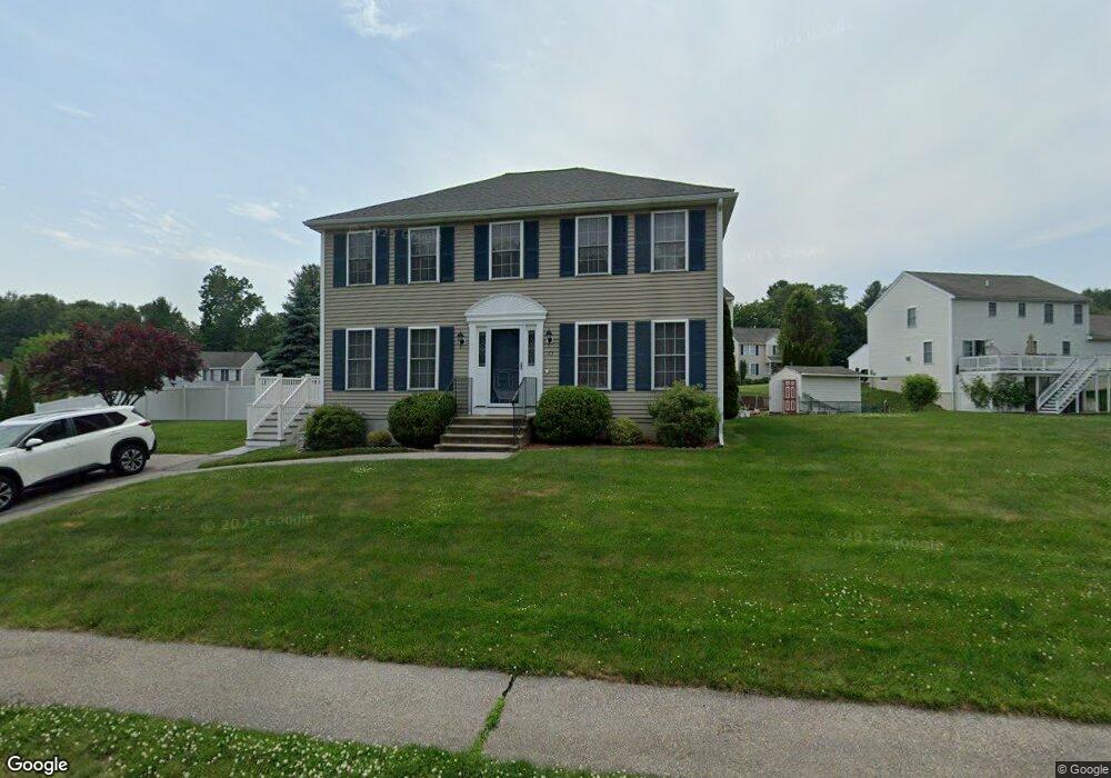
73 Epirus Dr Lowell, MA 01854
Pawtucketville NeighborhoodEstimated Value: $563,000 - $618,000
3
Beds
2
Baths
1,700
Sq Ft
$353/Sq Ft
Est. Value
About This Home
This home is located at 73 Epirus Dr, Lowell, MA 01854 and is currently estimated at $600,270, approximately $353 per square foot. 73 Epirus Dr is a home located in Middlesex County with nearby schools including Joseph McAvinnue Elementary School, Charlotte M. Murkland Elementary School, and Dr. Gertrude Bailey Elementary School.
Ownership History
Date
Name
Owned For
Owner Type
Purchase Details
Closed on
May 30, 2000
Sold by
Npv Dev Llc
Bought by
Graham Julie Marie and Piccolomini David
Current Estimated Value
Home Financials for this Owner
Home Financials are based on the most recent Mortgage that was taken out on this home.
Original Mortgage
$119,900
Interest Rate
8.1%
Mortgage Type
Purchase Money Mortgage
Create a Home Valuation Report for This Property
The Home Valuation Report is an in-depth analysis detailing your home's value as well as a comparison with similar homes in the area
Home Values in the Area
Average Home Value in this Area
Purchase History
| Date | Buyer | Sale Price | Title Company |
|---|---|---|---|
| Graham Julie Marie | $189,900 | -- | |
| Graham Julie Marie | $189,900 | -- |
Source: Public Records
Mortgage History
| Date | Status | Borrower | Loan Amount |
|---|---|---|---|
| Open | Graham Julie Marie | $120,000 | |
| Closed | Graham Julie Marie | $119,900 |
Source: Public Records
Tax History Compared to Growth
Tax History
| Year | Tax Paid | Tax Assessment Tax Assessment Total Assessment is a certain percentage of the fair market value that is determined by local assessors to be the total taxable value of land and additions on the property. | Land | Improvement |
|---|---|---|---|---|
| 2025 | $5,959 | $519,100 | $179,400 | $339,700 |
| 2024 | $6,044 | $507,500 | $167,600 | $339,900 |
| 2023 | $5,707 | $459,500 | $145,800 | $313,700 |
| 2022 | $5,171 | $407,500 | $132,500 | $275,000 |
| 2021 | $4,831 | $358,900 | $115,300 | $243,600 |
| 2020 | $4,836 | $362,000 | $117,600 | $244,400 |
| 2019 | $4,651 | $331,300 | $103,500 | $227,800 |
| 2018 | $4,619 | $321,000 | $98,600 | $222,400 |
| 2017 | $4,439 | $297,500 | $89,600 | $207,900 |
| 2016 | $4,419 | $291,500 | $83,600 | $207,900 |
| 2015 | $4,211 | $272,000 | $81,800 | $190,200 |
| 2013 | $4,003 | $266,700 | $102,800 | $163,900 |
Source: Public Records
Map
Nearby Homes
- 101 Laurie Ln
- 1820 Skyline Dr Unit 18
- 591 Varnum Ave
- 6 Louis Farm Rd Unit 6
- 3 Louis Farm Rd Unit 3
- 2300 Skyline Dr Unit 3
- 527 Pawtucket Blvd Unit 304
- 527 Pawtucket Blvd Unit 207
- 530 Mammoth Rd Unit 42
- 20 Sandy Ln
- 311 Pawtucket Blvd Unit 9
- 307 Pawtucket Blvd Unit 24
- 149 Woodward Ave
- 25 W 5th Ave
- 1461 Pawtucket Blvd Unit 12
- 25 Shea St Unit 8
- 1401 Pawtucket Blvd Unit 10
- 109 Navy Yard Rd
- 30 4th Ave
- 382 University Ave