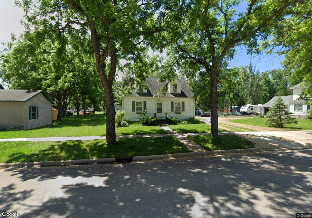
731 Sherman St Unit 731 Sherman Street Good Thunder, MN 56037
Estimated Value: $124,000 - $258,000
3
Beds
1
Bath
1,936
Sq Ft
$94/Sq Ft
Est. Value
About This Home
This home is located at 731 Sherman St Unit 731 Sherman Street, Good Thunder, MN 56037 and is currently estimated at $181,333, approximately $93 per square foot. 731 Sherman St Unit 731 Sherman Street is a home located in Blue Earth County with nearby schools including Maple River Secondary School and St. John Lutheran School.
Ownership History
Date
Name
Owned For
Owner Type
Purchase Details
Closed on
May 18, 2012
Sold by
Central Mortgage Company
Bought by
Frank Daren and Frank Jennifer
Current Estimated Value
Home Financials for this Owner
Home Financials are based on the most recent Mortgage that was taken out on this home.
Original Mortgage
$26,625
Interest Rate
3.83%
Mortgage Type
Future Advance Clause Open End Mortgage
Create a Home Valuation Report for This Property
The Home Valuation Report is an in-depth analysis detailing your home's value as well as a comparison with similar homes in the area
Home Values in the Area
Average Home Value in this Area
Purchase History
| Date | Buyer | Sale Price | Title Company |
|---|---|---|---|
| Frank Daren | $35,500 | Prism Title & Closing Servic |
Source: Public Records
Mortgage History
| Date | Status | Borrower | Loan Amount |
|---|---|---|---|
| Closed | Frank Daren | $26,625 |
Source: Public Records
Tax History Compared to Growth
Tax History
| Year | Tax Paid | Tax Assessment Tax Assessment Total Assessment is a certain percentage of the fair market value that is determined by local assessors to be the total taxable value of land and additions on the property. | Land | Improvement |
|---|---|---|---|---|
| 2025 | $2,474 | $143,800 | $9,800 | $134,000 |
| 2024 | $2,474 | $138,300 | $9,800 | $128,500 |
| 2023 | $2,530 | $145,000 | $9,800 | $135,200 |
| 2022 | $2,296 | $134,900 | $9,800 | $125,100 |
| 2021 | $2,238 | $100,100 | $9,800 | $90,300 |
| 2020 | $1,850 | $93,300 | $9,800 | $83,500 |
| 2019 | $1,722 | $93,300 | $9,800 | $83,500 |
| 2018 | $1,656 | $79,200 | $7,400 | $71,800 |
| 2017 | $1,644 | $79,200 | $7,400 | $71,800 |
| 2016 | $1,592 | $79,200 | $7,400 | $71,800 |
| 2015 | $15 | $74,400 | $7,400 | $67,000 |
| 2014 | $1,220 | $223,200 | $22,200 | $201,000 |
Source: Public Records
Map
Nearby Homes
- 721 Main St
- 211 211 S Houk St
- 16225 563rd Ave
- 55997 132nd St
- 305 E Main St
- 57400 178th Ln
- 56273 185th Ln
- 205 Park Ave N
- 201 201 N Park Ave
- 120 Mapleridge Dr
- 120 T-639
- 0 Tbd E 161st St
- 0 Tbd E Tbd Unit 7038384
- 17172 17172 State 22 Hwy Unit 17172 State Highway
- 14118 521st Ave
- 57868 179th St
- 503 Central Ave N
- 103 Calm Ct SW
- 202 Silver St E
- 202 202 E Silver St
- 731 Sherman St
- 721 Sherman St
- 801 Sherman St
- 730 Sherman St
- 711 Sherman St
- 730 Willard St
- 726 Sherman St
- 218 S Ewing St
- 810 Willard St
- 810 Sherman St
- 210 S Ewing St
- 710 Sherman St
- 220 S Ewing St
- 821 Sherman St
- 816 Willard St
- 110 110 S Ewing St
- 110 S Ewing St
- 631 Sherman St
- 731 Main St
- 731 731 Main St