Estimated Value: $275,000 - $324,000
2
Beds
2
Baths
1,836
Sq Ft
$162/Sq Ft
Est. Value
About This Home
This home is located at 734 Robins Gate, Akron, OH 44319 and is currently estimated at $297,878, approximately $162 per square foot. 734 Robins Gate is a home located in Summit County with nearby schools including Greenwood Elementary School, Green Intermediate Elementary School, and Green Primary School.
Ownership History
Date
Name
Owned For
Owner Type
Purchase Details
Closed on
Sep 24, 2020
Sold by
Given Not
Bought by
Leading Terrence E
Current Estimated Value
Purchase Details
Closed on
Jul 9, 2001
Sold by
Robinhood Development Llc
Bought by
Leading Terrence E and Leading Gloria J
Home Financials for this Owner
Home Financials are based on the most recent Mortgage that was taken out on this home.
Original Mortgage
$117,500
Interest Rate
7.27%
Create a Home Valuation Report for This Property
The Home Valuation Report is an in-depth analysis detailing your home's value as well as a comparison with similar homes in the area
Home Values in the Area
Average Home Value in this Area
Purchase History
| Date | Buyer | Sale Price | Title Company |
|---|---|---|---|
| Leading Terrence E | -- | -- | |
| Leading Terrence E | $173,622 | Bond & Associates Title Agen |
Source: Public Records
Mortgage History
| Date | Status | Borrower | Loan Amount |
|---|---|---|---|
| Previous Owner | Leading Terrence E | $117,500 |
Source: Public Records
Tax History Compared to Growth
Tax History
| Year | Tax Paid | Tax Assessment Tax Assessment Total Assessment is a certain percentage of the fair market value that is determined by local assessors to be the total taxable value of land and additions on the property. | Land | Improvement |
|---|---|---|---|---|
| 2025 | $3,836 | $89,782 | $14,826 | $74,956 |
| 2024 | $3,836 | $89,782 | $14,826 | $74,956 |
| 2023 | $3,836 | $89,782 | $14,826 | $74,956 |
| 2022 | $3,238 | $69,720 | $11,494 | $58,226 |
| 2021 | $3,039 | $69,720 | $11,494 | $58,226 |
| 2020 | $2,981 | $69,720 | $11,490 | $58,230 |
| 2019 | $2,882 | $63,950 | $10,500 | $53,450 |
| 2018 | $2,945 | $63,950 | $10,500 | $53,450 |
| 2017 | $2,622 | $63,950 | $10,500 | $53,450 |
| 2016 | $2,609 | $54,770 | $10,500 | $44,270 |
| 2015 | $2,622 | $54,770 | $10,500 | $44,270 |
| 2014 | $2,605 | $54,770 | $10,500 | $44,270 |
| 2013 | $2,549 | $53,440 | $10,500 | $42,940 |
Source: Public Records
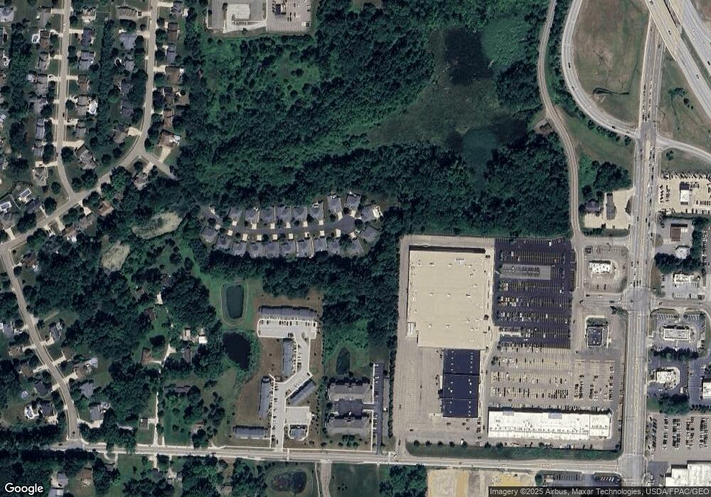
Map
Nearby Homes
- 652 Bobwhite Trail
- 3113 Sparrows Crest
- 0 Fortuna Dr Unit 5005346
- 435 Bonshire Rd
- 399 Abbyshire Rd
- 1096 Cookhill Cir Unit 50
- 2872 Ironwood Dr
- 1188 Cookhill Cir Unit 21
- 0 Bayview Terrace
- 3145 Daisy Ave
- 3845 Cayugas Dr
- 1134 E Turkeyfoot Lake Rd
- 960 Impala Dr
- 583 Knollwood Dr
- 1254 Maxfli Dr
- 1292 Ashwood Rd
- 1242 Bexley Cir
- 111 Magua Dr
- 3324 Molly Dr
- 3785 S Main St
- 722 Robins Gate
- 746 Robins Gate
- 718 Robins Gate
- 747 Robins Gate
- 735 Robins Gate
- 723 Robins Gate
- 706 Robins Gate
- 717 Robins Gate
- 705 Robins Gate
- 694 Robins Gate
- 693 Robins Gate
- 682 Robins Gate
- 681 Robins Gate
- 670 Robins Gate
- 669 Robins Gate
- 658 Robins Gate
- 647 Robins Gate
- 646 Robins Gate
- 701 Moore Rd
- 715 Moore Rd