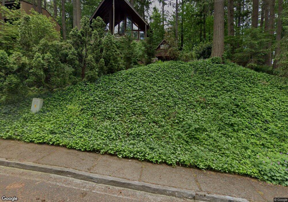
7355 Daisy St Springfield, OR 97478
Thurston NeighborhoodEstimated Value: $490,258 - $551,000
3
Beds
3
Baths
2,114
Sq Ft
$240/Sq Ft
Est. Value
About This Home
This home is located at 7355 Daisy St, Springfield, OR 97478 and is currently estimated at $508,065, approximately $240 per square foot. 7355 Daisy St is a home located in Lane County with nearby schools including Thurston Elementary School, Thurston Middle School, and Thurston High School.
Ownership History
Date
Name
Owned For
Owner Type
Purchase Details
Closed on
Apr 29, 1999
Sold by
Sargent Shirley Brenda
Bought by
Waterman Roger A and Farooq Yasmin S
Current Estimated Value
Home Financials for this Owner
Home Financials are based on the most recent Mortgage that was taken out on this home.
Original Mortgage
$167,100
Interest Rate
6.98%
Create a Home Valuation Report for This Property
The Home Valuation Report is an in-depth analysis detailing your home's value as well as a comparison with similar homes in the area
Home Values in the Area
Average Home Value in this Area
Purchase History
| Date | Buyer | Sale Price | Title Company |
|---|---|---|---|
| Waterman Roger A | $175,900 | Evergreen Land Title Company |
Source: Public Records
Mortgage History
| Date | Status | Borrower | Loan Amount |
|---|---|---|---|
| Previous Owner | Waterman Roger A | $167,100 |
Source: Public Records
Tax History
| Year | Tax Paid | Tax Assessment Tax Assessment Total Assessment is a certain percentage of the fair market value that is determined by local assessors to be the total taxable value of land and additions on the property. | Land | Improvement |
|---|---|---|---|---|
| 2025 | $5,811 | $316,877 | -- | -- |
| 2024 | $5,717 | $307,648 | -- | -- |
| 2023 | $5,717 | $298,688 | $0 | $0 |
| 2022 | $5,295 | $289,989 | $0 | $0 |
| 2021 | $5,200 | $281,543 | $0 | $0 |
| 2020 | $5,048 | $273,343 | $0 | $0 |
| 2019 | $4,896 | $265,382 | $0 | $0 |
| 2018 | $4,615 | $250,149 | $0 | $0 |
| 2017 | $4,438 | $250,149 | $0 | $0 |
| 2016 | $4,345 | $242,863 | $0 | $0 |
| 2015 | $4,221 | $235,789 | $0 | $0 |
| 2014 | $4,157 | $228,921 | $0 | $0 |
Source: Public Records
Map
Nearby Homes
- 0 S 73rd St Unit 24191573
- 7027 S E St
- 6964 Bluebelle Way
- 353 72nd St
- 6981 Main St
- 0 S 69th Place
- 353 71st St
- 296 S 68th Ct
- 595 S 68th Place
- 6887 B St
- 0 S B St Unit 488241963
- 0 71st St
- 0 Omlid Dr Unit 1 706471345
- 0 Omlid Dr Unit 27 796722689
- 0 Omlid Dr Unit 26 256458253
- 0 Omlid Dr Unit 3 154724851
- 0 Omlid Dr Unit 2 312357104
- 6842 Jessica Dr
- 250 68th St
- 6715 Ivy St
Your Personal Tour Guide
Ask me questions while you tour the home.