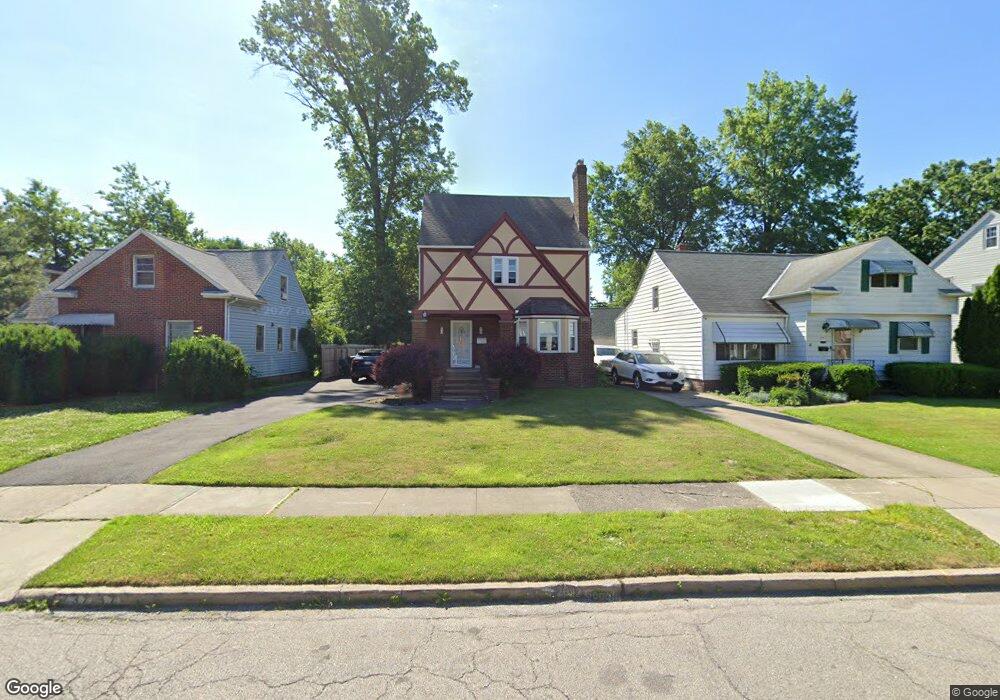
737 E 232nd St Euclid, OH 44123
Estimated Value: $129,000 - $171,000
3
Beds
1
Bath
1,332
Sq Ft
$110/Sq Ft
Est. Value
About This Home
This home is located at 737 E 232nd St, Euclid, OH 44123 and is currently estimated at $146,336, approximately $109 per square foot. 737 E 232nd St is a home located in Cuyahoga County with nearby schools including Arbor Elementary School, Euclid Middle School, and Euclid High School.
Ownership History
Date
Name
Owned For
Owner Type
Purchase Details
Closed on
Oct 3, 2008
Sold by
Wells Fargo Bank Na
Bought by
Doss Terry A
Current Estimated Value
Home Financials for this Owner
Home Financials are based on the most recent Mortgage that was taken out on this home.
Original Mortgage
$63,170
Interest Rate
6.04%
Mortgage Type
FHA
Purchase Details
Closed on
May 8, 2008
Sold by
Watson Colleen M
Bought by
Wells Fargo Bank Na and Option One Mortgage Loan Trust Asset Bac
Purchase Details
Closed on
Dec 3, 1992
Sold by
Mayock James R
Bought by
Mayock Colleen M Boyes
Purchase Details
Closed on
Dec 17, 1985
Sold by
Watson Kenneth M
Bought by
Mayock James R
Purchase Details
Closed on
Dec 8, 1980
Sold by
Cadwallader Gertrude C
Bought by
Watson Kenneth M
Purchase Details
Closed on
Nov 12, 1976
Sold by
Cadwallader George W and G C
Bought by
Cadwallader Gertrude C
Purchase Details
Closed on
Jan 1, 1975
Bought by
Cadwallader George W and G C
Create a Home Valuation Report for This Property
The Home Valuation Report is an in-depth analysis detailing your home's value as well as a comparison with similar homes in the area
Home Values in the Area
Average Home Value in this Area
Purchase History
| Date | Buyer | Sale Price | Title Company |
|---|---|---|---|
| Doss Terry A | $50,000 | Accutitle Agency Inc | |
| Wells Fargo Bank Na | $91,325 | None Available | |
| Mayock Colleen M Boyes | -- | -- | |
| Mayock James R | $50,000 | -- | |
| Watson Kenneth M | $37,500 | -- | |
| Cadwallader Gertrude C | -- | -- | |
| Cadwallader George W | -- | -- |
Source: Public Records
Mortgage History
| Date | Status | Borrower | Loan Amount |
|---|---|---|---|
| Previous Owner | Doss Terry A | $63,170 |
Source: Public Records
Tax History
| Year | Tax Paid | Tax Assessment Tax Assessment Total Assessment is a certain percentage of the fair market value that is determined by local assessors to be the total taxable value of land and additions on the property. | Land | Improvement |
|---|---|---|---|---|
| 2024 | $3,089 | $44,065 | $9,310 | $34,755 |
| 2023 | $2,456 | $27,620 | $7,350 | $20,270 |
| 2022 | $2,401 | $27,620 | $7,350 | $20,270 |
| 2021 | $2,748 | $27,620 | $7,350 | $20,270 |
| 2020 | $2,249 | $20,930 | $5,570 | $15,370 |
| 2019 | $2,024 | $59,800 | $15,900 | $43,900 |
| 2018 | $1,955 | $20,930 | $5,570 | $15,370 |
| 2017 | $2,019 | $17,230 | $3,680 | $13,550 |
| 2016 | $2,024 | $17,230 | $3,680 | $13,550 |
| 2015 | $1,848 | $17,230 | $3,680 | $13,550 |
| 2014 | $1,848 | $17,230 | $3,680 | $13,550 |
Source: Public Records
Map
Nearby Homes
- 797 Babbitt Rd Unit 15
- 24451 Deanna Ct
- 24270 Glenforest Rd
- 22301 Milton Dr
- 22751 Fox Ave
- 490 Kenwood Dr Unit B
- 24571 Alberton Rd
- 422 Clearview Dr Unit J10
- 470 Kenwood Dr Unit D
- 450 Kenwood Dr Unit E12
- 890 E 250th St
- 421 Kenwood Dr Unit G
- 461 Kenwood Dr Unit T3
- 22931 Arms Ave
- 24181 Devoe Ave
- 22670 Arms Ave
- 23198 Gay St
- 21481 Ball Ave
- 324 E 215th St
- 21250 Ball Ave
Your Personal Tour Guide
Ask me questions while you tour the home.