7401 W State Route 41 Covington, OH 45318
Estimated Value: $216,258 - $310,000
3
Beds
2
Baths
1,840
Sq Ft
$137/Sq Ft
Est. Value
About This Home
This home is located at 7401 W State Route 41, Covington, OH 45318 and is currently estimated at $252,315, approximately $137 per square foot. 7401 W State Route 41 is a home located in Miami County with nearby schools including Covington Elementary/Junior High School, Covington Junior High School, and Covington High School.
Ownership History
Date
Name
Owned For
Owner Type
Purchase Details
Closed on
Nov 19, 2024
Sold by
Clark Scott P and Clark Shannon R
Bought by
Scott P Clark And Shannon R Clark Revocable L and Clark
Current Estimated Value
Purchase Details
Closed on
Nov 3, 2006
Sold by
Weyant Evelyn
Bought by
Clark Scott P and Clark Shannon R
Home Financials for this Owner
Home Financials are based on the most recent Mortgage that was taken out on this home.
Original Mortgage
$110,000
Interest Rate
6.45%
Purchase Details
Closed on
Jan 1, 1990
Bought by
Weyant Evelyn
Create a Home Valuation Report for This Property
The Home Valuation Report is an in-depth analysis detailing your home's value as well as a comparison with similar homes in the area
Home Values in the Area
Average Home Value in this Area
Purchase History
| Date | Buyer | Sale Price | Title Company |
|---|---|---|---|
| Scott P Clark And Shannon R Clark Revocable L | -- | None Listed On Document | |
| Clark Scott P | $137,500 | -- | |
| Weyant Evelyn | -- | -- |
Source: Public Records
Mortgage History
| Date | Status | Borrower | Loan Amount |
|---|---|---|---|
| Previous Owner | Clark Scott P | $110,000 |
Source: Public Records
Tax History Compared to Growth
Tax History
| Year | Tax Paid | Tax Assessment Tax Assessment Total Assessment is a certain percentage of the fair market value that is determined by local assessors to be the total taxable value of land and additions on the property. | Land | Improvement |
|---|---|---|---|---|
| 2024 | $1,882 | $56,420 | $4,970 | $51,450 |
| 2023 | $1,882 | $56,420 | $4,970 | $51,450 |
| 2022 | $1,906 | $56,420 | $4,970 | $51,450 |
| 2021 | $1,571 | $43,410 | $3,820 | $39,590 |
| 2020 | $1,574 | $43,410 | $3,820 | $39,590 |
| 2019 | $1,570 | $43,410 | $3,820 | $39,590 |
| 2018 | $1,316 | $37,000 | $2,030 | $34,970 |
| 2017 | $1,343 | $37,000 | $2,030 | $34,970 |
| 2016 | $1,289 | $37,000 | $2,030 | $34,970 |
| 2015 | $1,222 | $34,900 | $1,930 | $32,970 |
| 2014 | $1,222 | $34,900 | $1,930 | $32,970 |
| 2013 | $1,228 | $34,900 | $1,930 | $32,970 |
Source: Public Records
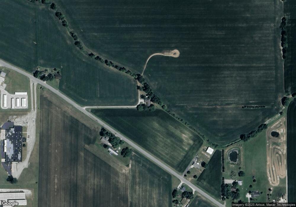
Map
Nearby Homes
- 7195 W State Route 41
- 7121 W State Route 41
- 7071 W State Route 41
- 7015 W State Route 41
- 2600 Mote Dr
- 2000 Industrial Ct
- 2000 Industrial Ct
- 114 Crosby St
- 2450 Mote Dr
- 8262 W State Route 41
- 112 Crosby St
- 110 Crosby St
- 113 Crosby St
- 108 Crosby St
- 111 Crosby St
- 609 E Bridge St
- 2064 Industrial Ct
- 106 Crosby St
- 607 E Bridge St
- 1000 Dick Minnich Dr