Estimated Value: $1,090,106 - $1,292,000
3
Beds
3
Baths
3,068
Sq Ft
$383/Sq Ft
Est. Value
About This Home
This home is located at 75 Laurel Lake Rd, Lenox, MA 01240 and is currently estimated at $1,175,527, approximately $383 per square foot. 75 Laurel Lake Rd is a home located in Berkshire County with nearby schools including Morris Elementary School, Lenox Memorial High School, and The Montessori School of the Berkshires.
Ownership History
Date
Name
Owned For
Owner Type
Purchase Details
Closed on
Aug 2, 2017
Sold by
Bernard Donald A
Bought by
Bernard Emily N
Current Estimated Value
Purchase Details
Closed on
Nov 23, 2016
Sold by
Bernard Donald A and Norman-Bernard Emily
Bought by
Kondaur Capital Corp T
Purchase Details
Closed on
Sep 13, 2011
Sold by
Laurel Lake Rt and Sagalyn
Bought by
Bernard Donald A and Bernard Emily N
Home Financials for this Owner
Home Financials are based on the most recent Mortgage that was taken out on this home.
Original Mortgage
$520,000
Interest Rate
4.58%
Mortgage Type
Purchase Money Mortgage
Purchase Details
Closed on
Dec 15, 2004
Sold by
Sagalyn Jennifer G
Bought by
Sagalyn Jeffrey B and Sagalyn Jennifer G
Create a Home Valuation Report for This Property
The Home Valuation Report is an in-depth analysis detailing your home's value as well as a comparison with similar homes in the area
Home Values in the Area
Average Home Value in this Area
Purchase History
| Date | Buyer | Sale Price | Title Company |
|---|---|---|---|
| Bernard Emily N | -- | -- | |
| Kondaur Capital Corp T | $15,000 | -- | |
| Bernard Donald A | $650,000 | -- | |
| Sagalyn Jeffrey B | -- | -- |
Source: Public Records
Mortgage History
| Date | Status | Borrower | Loan Amount |
|---|---|---|---|
| Previous Owner | Bernard Donald A | $520,000 |
Source: Public Records
Tax History
| Year | Tax Paid | Tax Assessment Tax Assessment Total Assessment is a certain percentage of the fair market value that is determined by local assessors to be the total taxable value of land and additions on the property. | Land | Improvement |
|---|---|---|---|---|
| 2025 | $8,304 | $917,600 | $330,200 | $587,400 |
| 2024 | $7,855 | $866,000 | $311,500 | $554,500 |
| 2023 | $7,495 | $818,200 | $284,300 | $533,900 |
| 2022 | $6,922 | $638,600 | $237,000 | $401,600 |
| 2021 | $6,843 | $587,400 | $217,100 | $370,300 |
| 2020 | $7,110 | $587,600 | $218,900 | $368,700 |
| 2019 | $7,017 | $587,200 | $218,900 | $368,300 |
| 2018 | $7,046 | $580,400 | $214,500 | $365,900 |
| 2017 | $7,052 | $577,600 | $210,200 | $367,400 |
| 2016 | $6,996 | $575,300 | $210,200 | $365,100 |
| 2015 | $6,818 | $553,000 | $197,000 | $356,000 |
Source: Public Records
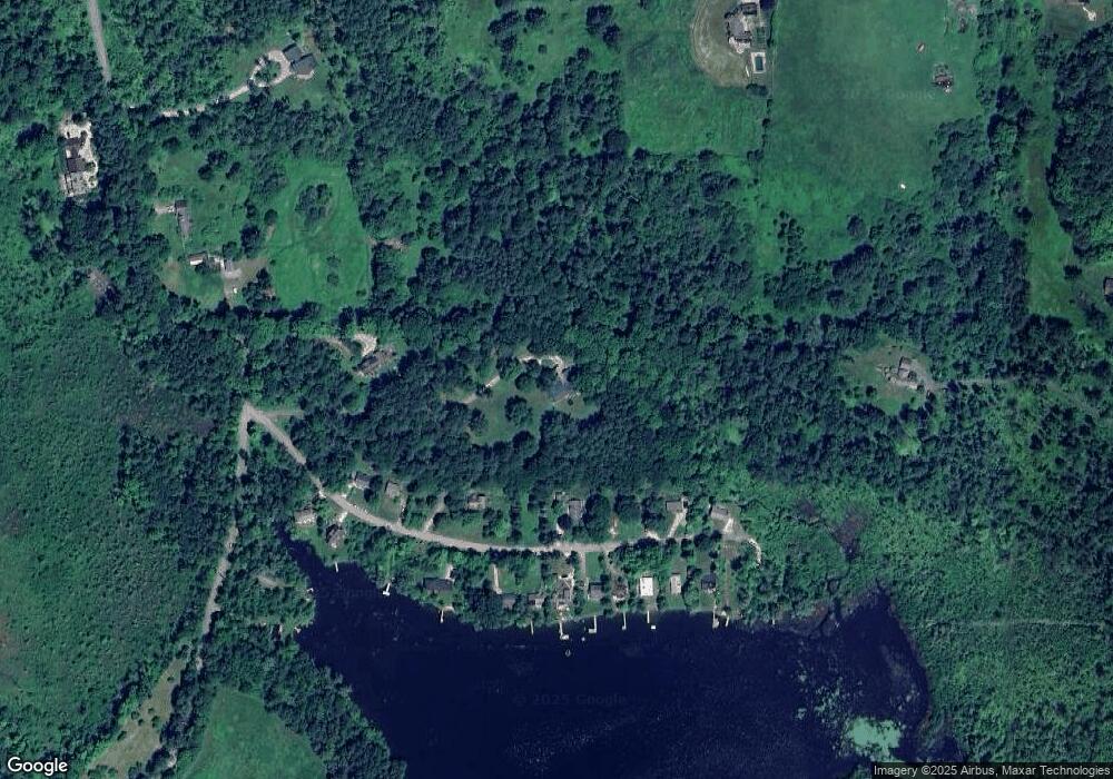
Map
Nearby Homes
- 770 Summer St Unit 5D
- 615 Laurel St
- 220 Kemble St
- 2 Saint Andrews Ct
- 140 Theresa Terrace
- 30 Clifden Ct Unit 2
- 500 Walker St
- 15 Wexford Ct Unit 32
- 524 Walker St
- 528 Walker St
- 1 Pinecroft Dr
- 155 Laurel St
- 54 Dunmore Ct
- 30 Pease Terrace
- 137 Housatonic St
- 4 Morgan Manor Unit 4
- 131 Center St
- 180 Center St
- 184 Washington Mountain Rd
- 46 Housatonic St Unit 2B
- 35 Sargent Brook Rd
- 41 Sargent Brook Rd
- 47 Sargent Brook Rd
- 19 Sargent Brook Rd
- 0 Sargent Brook Rd
- 49 Sargent Brook Rd
- 15 Sargent Brook Rd
- 36 Sargent Brook Rd
- 40 Sargent Brook Rd
- 42 Sargent Brook Rd
- 34 Sargent Brook Rd
- 46 Sargent Brook Rd
- 30 Sargent Brook Rd
- 48 Sargent Brook Rd
- 13 Sargent Brook Rd
- 69 Laurel Lake Rd
- 22 Sargent Brook Rd
- 52 Sargent Brook Rd
- 12 Sargent Brook Rd
- 10 Sargent Brook Rd
Your Personal Tour Guide
Ask me questions while you tour the home.