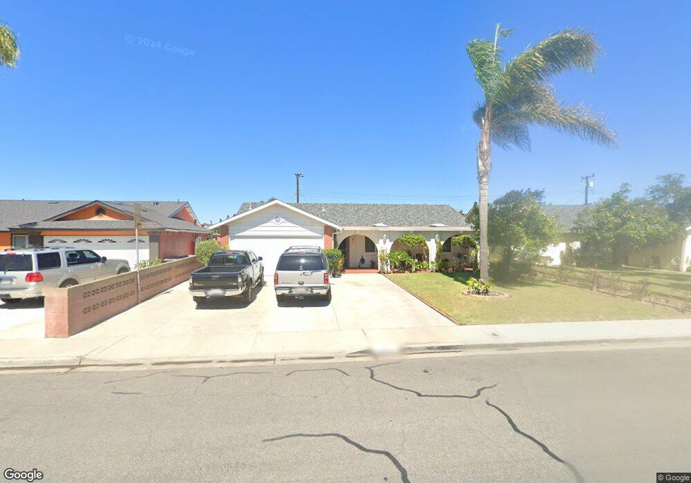
751 Avalon Way Oxnard, CA 93033
Blackstock South NeighborhoodEstimated Value: $625,000 - $714,000
4
Beds
2
Baths
1,349
Sq Ft
$492/Sq Ft
Est. Value
About This Home
This home is located at 751 Avalon Way, Oxnard, CA 93033 and is currently estimated at $663,455, approximately $491 per square foot. 751 Avalon Way is a home located in Ventura County with nearby schools including Fred L. Williams Elementary School and Channel Islands High School.
Ownership History
Date
Name
Owned For
Owner Type
Purchase Details
Closed on
Aug 4, 2022
Sold by
Perez Victor M and Perez Maria L
Bought by
Perez Family Living Trust
Current Estimated Value
Create a Home Valuation Report for This Property
The Home Valuation Report is an in-depth analysis detailing your home's value as well as a comparison with similar homes in the area
Home Values in the Area
Average Home Value in this Area
Purchase History
| Date | Buyer | Sale Price | Title Company |
|---|---|---|---|
| Perez Family Living Trust | -- | None Listed On Document |
Source: Public Records
Tax History
| Year | Tax Paid | Tax Assessment Tax Assessment Total Assessment is a certain percentage of the fair market value that is determined by local assessors to be the total taxable value of land and additions on the property. | Land | Improvement |
|---|---|---|---|---|
| 2025 | $1,883 | $154,710 | $49,533 | $105,177 |
| 2024 | $1,883 | $151,677 | $48,562 | $103,115 |
| 2023 | $1,774 | $148,703 | $47,609 | $101,094 |
| 2022 | $1,657 | $145,788 | $46,676 | $99,112 |
| 2021 | $1,675 | $142,930 | $45,761 | $97,169 |
| 2020 | $1,705 | $141,467 | $45,293 | $96,174 |
| 2019 | $1,653 | $138,694 | $44,405 | $94,289 |
| 2018 | $1,591 | $135,976 | $43,535 | $92,441 |
| 2017 | $1,539 | $133,311 | $42,682 | $90,629 |
| 2016 | $1,466 | $130,698 | $41,846 | $88,852 |
| 2015 | $1,486 | $128,736 | $41,218 | $87,518 |
| 2014 | $1,459 | $126,215 | $40,411 | $85,804 |
Source: Public Records
Map
Nearby Homes
- 860 Morro Way
- 4160 Petit Dr Unit 39
- 360 Ibsen Place Unit 129
- 320 Columbia Place Unit 46
- 280 Columbia Place Unit 48
- 4340 Highland Ave
- 3631 La Costa Place
- 140 Gaviota Place Unit 157
- 3151 Fournier St
- 3130 Paula St
- 4200 S A St
- 4200 Browning Dr
- 4029 S B St
- 3638 S B St
- 5117 Jefferson Square
- 5222 Longfellow Way
- 5225 Columbus Place
- 3820 S J St
- 1928 San Benito St
- 4032 Mockingbird Ln
- 761 Avalon Way
- 741 Avalon Way
- 750 Borrego Way
- 740 Borrego Way
- 765 Avalon Way
- 760 Borrego Way
- 754 Avalon Way
- 750 Avalon Way
- 800 Borrego Way
- 805 Avalon Way
- 760 Avalon Way
- 740 Avalon Way
- 3931 San Juan Ave
- 731 Donner St
- 800 Avalon Way
- 4001 San Juan Ave
- 810 Borrego Way
- 811 Avalon Way
- 741 Borrego Way
- 4034 San Juan Ave
Your Personal Tour Guide
Ask me questions while you tour the home.