751 Emerson Rd Quitman, GA 31643
Estimated Value: $166,000 - $1,701,538
Studio
--
Bath
1,780
Sq Ft
$614/Sq Ft
Est. Value
About This Home
This home is located at 751 Emerson Rd, Quitman, GA 31643 and is currently estimated at $1,092,179, approximately $613 per square foot. 751 Emerson Rd is a home with nearby schools including Quitman Elementary School and Westbrook School.
Ownership History
Date
Name
Owned For
Owner Type
Purchase Details
Closed on
Jan 10, 2023
Sold by
Rayfield Tresa D
Bought by
Emerson Land Ii Llc
Current Estimated Value
Home Financials for this Owner
Home Financials are based on the most recent Mortgage that was taken out on this home.
Original Mortgage
$1,100,000
Outstanding Balance
$989,995
Interest Rate
3.11%
Mortgage Type
New Conventional
Estimated Equity
$102,184
Purchase Details
Closed on
Nov 8, 2017
Sold by
Mccranie Mary Ann
Bought by
Mccranie Family Irrev Trust
Purchase Details
Closed on
Feb 25, 2014
Sold by
Mccranie Mary Ann
Bought by
Conservation Use Covenant Recording
Purchase Details
Closed on
Jan 21, 2014
Sold by
Mccranie Mary Ann
Bought by
Simpson Josh and Simpson Brandon
Purchase Details
Closed on
Sep 24, 2007
Bought by
Conservation Use Covenant Recording
Purchase Details
Closed on
Aug 22, 1995
Bought by
Mccranie Mary Ann
Purchase Details
Closed on
Aug 9, 1995
Sold by
Waldron Ben F Est
Bought by
Mccranie Mary Ann
Create a Home Valuation Report for This Property
The Home Valuation Report is an in-depth analysis detailing your home's value as well as a comparison with similar homes in the area
Purchase History
| Date | Buyer | Sale Price | Title Company |
|---|---|---|---|
| Emerson Land Ii Llc | $1,300,000 | -- | |
| Mccranie Family Irrev Trust | -- | -- | |
| Conservation Use Covenant Recording | -- | -- | |
| Simpson Josh | $375,000 | -- | |
| Conservation Use Covenant Recording | -- | -- | |
| Mccranie Mary Ann | -- | -- | |
| Mccranie Mary Ann | -- | -- |
Source: Public Records
Mortgage History
| Date | Status | Borrower | Loan Amount |
|---|---|---|---|
| Open | Emerson Land Ii Llc | $1,100,000 |
Source: Public Records
Tax History
| Year | Tax Paid | Tax Assessment Tax Assessment Total Assessment is a certain percentage of the fair market value that is determined by local assessors to be the total taxable value of land and additions on the property. | Land | Improvement |
|---|---|---|---|---|
| 2025 | $4,487 | $638,692 | $588,720 | $49,972 |
| 2024 | $4,063 | $638,692 | $588,720 | $49,972 |
| 2023 | $4,287 | $574,004 | $525,520 | $48,484 |
| 2022 | $4,302 | $538,924 | $500,440 | $38,484 |
| 2021 | $4,060 | $457,604 | $424,560 | $33,044 |
| 2020 | $12,692 | $457,004 | $424,560 | $32,444 |
| 2019 | $3,761 | $415,324 | $385,320 | $30,004 |
| 2018 | $12,750 | $436,564 | $406,560 | $30,004 |
| 2017 | $3,626 | $435,044 | $406,560 | $28,484 |
| 2016 | $3,570 | $435,044 | $406,560 | $28,484 |
| 2015 | -- | $435,280 | $406,560 | $28,720 |
| 2014 | -- | $435,280 | $406,560 | $28,720 |
| 2013 | -- | $618,100 | $580,520 | $37,580 |
Source: Public Records
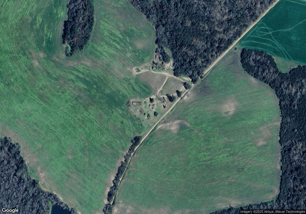
Map
Nearby Homes
- Dixie Rd
- 5199 U S 84
- 2156 County Road 78
- 103 Magnolia Dr
- 804 Westlake Dr
- 1001 W Bartow St
- 0 W Swamp St
- 0 Madison Hwy Unit 26460639
- 0 Madison Hwy Unit 147194
- 203 W Gordon St
- 304 W Rountree St
- Lot 14 Dawn Ln
- 606 N Court St
- 621 N Court St
- 807 N Court St
- 0 E Gordon St
- 5036 Hamlin Rd
- 506 Oglesby St
- 103 Victorian Way
- 714 Morris Ave
Your Personal Tour Guide
Ask me questions while you tour the home.