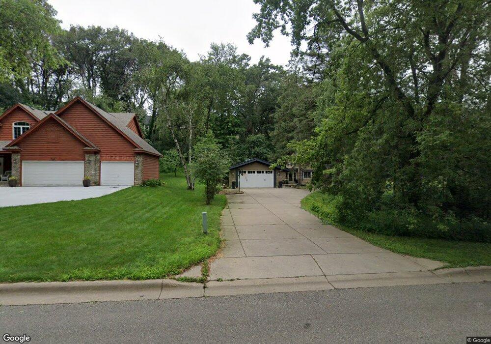
755 Lincolntown Ave Saint Paul, MN 55115
Estimated Value: $724,000 - $841,000
5
Beds
4
Baths
2,914
Sq Ft
$265/Sq Ft
Est. Value
About This Home
This home is located at 755 Lincolntown Ave, Saint Paul, MN 55115 and is currently estimated at $771,430, approximately $264 per square foot. 755 Lincolntown Ave is a home located in Washington County with nearby schools including O.H. Anderson Elementary School, Wildwood Elementary School, and Mahtomedi Middle School.
Ownership History
Date
Name
Owned For
Owner Type
Purchase Details
Closed on
Sep 25, 2018
Sold by
Snowberg Brian and Snowberg Kerry
Bought by
Young Alexander N and Young Heather
Current Estimated Value
Home Financials for this Owner
Home Financials are based on the most recent Mortgage that was taken out on this home.
Original Mortgage
$376,000
Outstanding Balance
$328,592
Interest Rate
4.6%
Mortgage Type
New Conventional
Estimated Equity
$442,838
Purchase Details
Closed on
Jul 23, 1998
Sold by
Ness Gregory S
Bought by
Snowberg Brian and Snowberg Kerry
Create a Home Valuation Report for This Property
The Home Valuation Report is an in-depth analysis detailing your home's value as well as a comparison with similar homes in the area
Home Values in the Area
Average Home Value in this Area
Purchase History
| Date | Buyer | Sale Price | Title Company |
|---|---|---|---|
| Young Alexander N | $470,000 | Watermark Title Agcy | |
| Snowberg Brian | $200,000 | -- |
Source: Public Records
Mortgage History
| Date | Status | Borrower | Loan Amount |
|---|---|---|---|
| Open | Young Alexander N | $376,000 |
Source: Public Records
Tax History Compared to Growth
Tax History
| Year | Tax Paid | Tax Assessment Tax Assessment Total Assessment is a certain percentage of the fair market value that is determined by local assessors to be the total taxable value of land and additions on the property. | Land | Improvement |
|---|---|---|---|---|
| 2024 | $8,086 | $699,400 | $230,000 | $469,400 |
| 2023 | $8,086 | $695,300 | $235,000 | $460,300 |
| 2022 | $6,450 | $684,900 | $238,900 | $446,000 |
| 2021 | $6,216 | $496,000 | $195,000 | $301,000 |
| 2020 | $5,662 | $495,100 | $205,000 | $290,100 |
| 2019 | $5,266 | $444,700 | $148,000 | $296,700 |
| 2018 | $4,918 | $393,800 | $137,000 | $256,800 |
| 2017 | $4,698 | $389,900 | $137,000 | $252,900 |
| 2016 | $5,258 | $354,000 | $150,000 | $204,000 |
| 2015 | $4,890 | $351,200 | $141,700 | $209,500 |
| 2013 | -- | $319,700 | $122,500 | $197,200 |
Source: Public Records
Map
Nearby Homes
- 941 Pineridge Ct
- 78 Dunbar Way
- 180 Bevins Ln
- 285 Old Wildwood Rd
- 13 Echo Lake Blvd
- 405 Warner Ave S
- 169 Wedgewood Dr
- 766 Sterling Ct
- 745 Sterling Ct
- 309 69th St N
- xxx Glenmar Ave
- 306 Warner Ave S
- 739 Echo Shores Ct
- 824 Woodland Dr
- 3533 Long Lake Rd E
- 349 69th St N
- 115 Wildwood Beach Rd
- 514 Wildwood Ave
- 907 Ledgestone Dr
- 83 Dahlia St
- 785 Lincolntown Ave
- 725 Lincolntown Ave
- 766 Woodridge Ct
- 757 Woodridge Ct
- 821 Lincolntown Ave
- 788 Woodridge Ct
- 777 Woodridge Ct
- 814 Woodridge Ct
- 51 Wildridge Rd
- 75 Wildridge Rd
- 24 Bertha Ct
- 27 Wildridge Rd
- 848 Woodridge Ct
- 795 Woodridge Ct
- 99 Wildridge Rd
- 32 Bertha Ct
- 819 Woodridge Ct
- 11XX Edgecumbe Dr
- 109 Edgecumbe Dr
- 910 Pineridge Ct