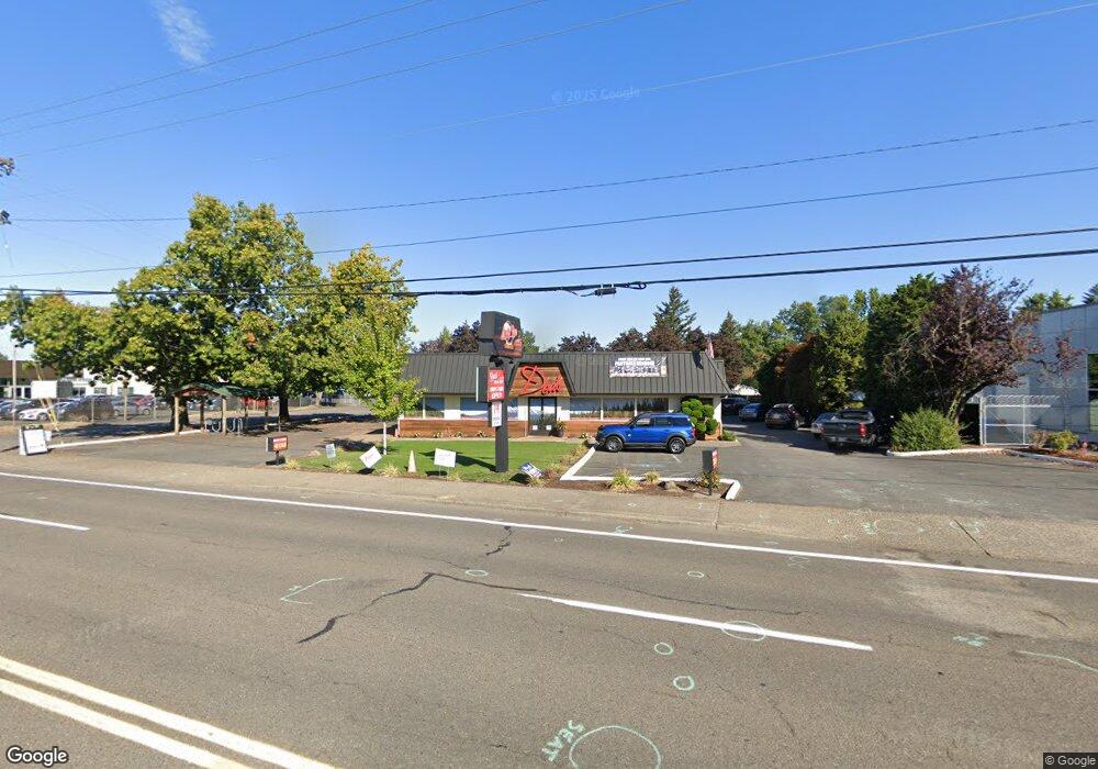
755 NE Burnside Rd Gresham, OR 97030
North Central NeighborhoodEstimated Value: $1,466,749
Studio
--
Bath
4,394
Sq Ft
$334/Sq Ft
Est. Value
About This Home
This home is located at 755 NE Burnside Rd, Gresham, OR 97030 and is currently priced at $1,466,749, approximately $333 per square foot. 755 NE Burnside Rd is a home located in Multnomah County with nearby schools including Highland Elementary School, Clear Creek Middle School, and Gresham High School.
Ownership History
Date
Name
Owned For
Owner Type
Purchase Details
Closed on
Jun 29, 2020
Sold by
Sparks Michael and Sparks Patrick
Bought by
Dea S Holdings Llc
Current Estimated Value
Purchase Details
Closed on
Feb 8, 2019
Sold by
Sparks Michael and Sparks Michael
Bought by
Sparks Michael and Sparks Patrick
Purchase Details
Closed on
Feb 8, 2006
Sold by
Sparks Dea
Bought by
Sparks Dea Farris and Sparks Laura Evelyn
Create a Home Valuation Report for This Property
The Home Valuation Report is an in-depth analysis detailing your home's value as well as a comparison with similar homes in the area
Home Values in the Area
Average Home Value in this Area
Purchase History
| Date | Buyer | Sale Price | Title Company |
|---|---|---|---|
| Dea S Holdings Llc | $1,200,000 | First American Title Ncs | |
| Sparks Michael | -- | None Available | |
| Sparks Michael | -- | None Available | |
| Sparks Dea Farris | -- | None Available | |
| Sparks Dea Farris | -- | None Available |
Source: Public Records
Tax History
| Year | Tax Paid | Tax Assessment Tax Assessment Total Assessment is a certain percentage of the fair market value that is determined by local assessors to be the total taxable value of land and additions on the property. | Land | Improvement |
|---|---|---|---|---|
| 2025 | $17,243 | $847,320 | -- | -- |
| 2024 | $16,506 | $822,650 | -- | -- |
| 2023 | $15,037 | $798,690 | $0 | $0 |
| 2022 | $14,617 | $775,430 | $0 | $0 |
| 2021 | $14,249 | $752,850 | $0 | $0 |
| 2020 | $13,407 | $730,930 | $0 | $0 |
| 2019 | $13,056 | $709,650 | $0 | $0 |
| 2018 | $12,449 | $688,990 | $0 | $0 |
| 2017 | $11,943 | $668,930 | $0 | $0 |
| 2016 | $10,530 | $649,450 | $0 | $0 |
Source: Public Records
Map
Nearby Homes
- 1783 1791 NE Beech Place
- 349 NE 18th St
- 894 NE Linden Ave
- 660 NE 9th St
- 450 NE 22nd St
- 535 NE 24th St
- 54 NW 13th St
- 1514 NE Hogan Dr Unit 131
- 1802 NE Hogan Dr Unit 97
- 1722 NE Hogan Dr Unit 103
- 1830 NE Hogan Dr Unit 83
- 1308 NE Hogan Dr Unit 166
- 1302 NE Hogan Dr
- 491 NE Elliott Ave
- 0 NE 6th St
- 1812 NE 19th St Unit 27
- 824 NW Mignonette Ave
- 210 NE 5th St
- 1935 NE 19th St Unit 56
- 234 NE Cleveland Ave
- 718 NE 16th Ct
- 716 NE 16th Ct
- 1675 NE Juniper Ave
- 720 NE Burnside Rd Unit 2
- 715 NE 16th Ct
- 1670 NE Juniper Ave
- 1680 NE Juniper Ave
- 709 NE 16th Ct
- 619 NE Roberts Ave
- 1746 NE Elliott Place Unit 1754
- 713 NE 16th Ct
- 1690 NE Juniper Ave
- 711 NE 16th Ct
- 1760 NE Elliott Place
- 1732 NE Elliott Place Unit 1738
- 1765 NE Juniper Ave
- 1685 NE Cleveland Ave
- 1760 NE Juniper Ave
- 1640 NE Kelly Ave
- 1775 NE Juniper Ave
Your Personal Tour Guide
Ask me questions while you tour the home.