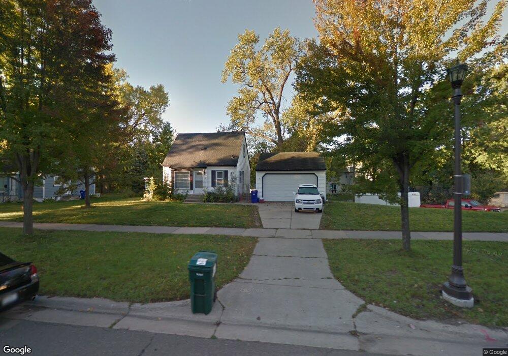
756 Como Ave Saint Paul, MN 55103
Como Park NeighborhoodEstimated Value: $252,000 - $295,000
2
Beds
1
Bath
634
Sq Ft
$418/Sq Ft
Est. Value
About This Home
This home is located at 756 Como Ave, Saint Paul, MN 55103 and is currently estimated at $264,772, approximately $417 per square foot. 756 Como Ave is a home located in Ramsey County with nearby schools including Como Park Elementary School, Murray Middle School, and Como Park Senior High School.
Ownership History
Date
Name
Owned For
Owner Type
Purchase Details
Closed on
Apr 30, 2018
Sold by
Atkinson Trish R and Freeman Aaron E
Bought by
Cole Allison J
Current Estimated Value
Home Financials for this Owner
Home Financials are based on the most recent Mortgage that was taken out on this home.
Original Mortgage
$171,400
Outstanding Balance
$147,751
Interest Rate
4.45%
Mortgage Type
New Conventional
Estimated Equity
$117,021
Purchase Details
Closed on
Apr 15, 2015
Sold by
Harrington Michael P and Harrington Shelly
Bought by
Atkinson Trish R and Freeman Aaron E
Home Financials for this Owner
Home Financials are based on the most recent Mortgage that was taken out on this home.
Original Mortgage
$137,365
Interest Rate
3.87%
Mortgage Type
FHA
Create a Home Valuation Report for This Property
The Home Valuation Report is an in-depth analysis detailing your home's value as well as a comparison with similar homes in the area
Home Values in the Area
Average Home Value in this Area
Purchase History
| Date | Buyer | Sale Price | Title Company |
|---|---|---|---|
| Cole Allison J | $181,400 | None Available | |
| Atkinson Trish R | $144,139 | Liberty Title Inc |
Source: Public Records
Mortgage History
| Date | Status | Borrower | Loan Amount |
|---|---|---|---|
| Open | Cole Allison J | $171,400 | |
| Previous Owner | Atkinson Trish R | $137,365 |
Source: Public Records
Tax History
| Year | Tax Paid | Tax Assessment Tax Assessment Total Assessment is a certain percentage of the fair market value that is determined by local assessors to be the total taxable value of land and additions on the property. | Land | Improvement |
|---|---|---|---|---|
| 2025 | $3,724 | $266,500 | $59,600 | $206,900 |
| 2023 | $3,724 | $249,500 | $59,600 | $189,900 |
| 2022 | $3,396 | $249,200 | $59,600 | $189,600 |
| 2021 | $3,386 | $222,300 | $59,600 | $162,700 |
| 2020 | $3,264 | $229,000 | $59,600 | $169,400 |
| 2019 | $2,994 | $208,200 | $59,600 | $148,600 |
| 2018 | $2,556 | $190,800 | $59,600 | $131,200 |
| 2017 | $2,230 | $171,500 | $47,700 | $123,800 |
| 2016 | $2,082 | $0 | $0 | $0 |
| 2015 | $3,288 | $145,400 | $47,700 | $97,700 |
| 2014 | $3,044 | $0 | $0 | $0 |
Source: Public Records
Map
Nearby Homes
- 1070 Dale St N
- 1048 Dale St N
- 989 Barrett St
- 352 Como Ave
- 1187 Dale St N
- 1049 Kent St
- 593 Front Ave
- 1245 Dale St N
- 1104 MacKubin St
- 1083 Chatsworth St N
- 1094 Argyle St
- 1300 Schletti St
- 870 Lakeview Ave
- 469 Como Ave
- 1067 Hatch Ave
- 1041 Western Ave N
- 585 Cottage Ave W
- 751 Van Buren Ave
- 952 Western Ave N
- 634 Van Buren Ave
Your Personal Tour Guide
Ask me questions while you tour the home.