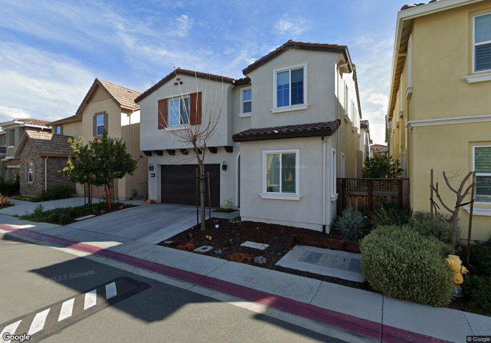
76 Calypso Ln Milpitas, CA 95035
Estimated Value: $2,110,580 - $2,412,000
5
Beds
3
Baths
2,636
Sq Ft
$854/Sq Ft
Est. Value
About This Home
This home is located at 76 Calypso Ln, Milpitas, CA 95035 and is currently estimated at $2,251,395, approximately $854 per square foot. 76 Calypso Ln is a home with nearby schools including Robert Randall Elementary School, Alexander Rose Elementary School, and Rancho Milpitas Middle School.
Ownership History
Date
Name
Owned For
Owner Type
Purchase Details
Closed on
Apr 23, 2022
Sold by
Yang and Irawaty
Bought by
Yang Living Trust
Current Estimated Value
Purchase Details
Closed on
Sep 10, 2014
Sold by
D R Horton Bay Inc
Bought by
Yang Hermanto and Yang Irawaty
Home Financials for this Owner
Home Financials are based on the most recent Mortgage that was taken out on this home.
Original Mortgage
$948,800
Interest Rate
4.09%
Mortgage Type
New Conventional
Create a Home Valuation Report for This Property
The Home Valuation Report is an in-depth analysis detailing your home's value as well as a comparison with similar homes in the area
Home Values in the Area
Average Home Value in this Area
Purchase History
| Date | Buyer | Sale Price | Title Company |
|---|---|---|---|
| Yang Living Trust | -- | Law Offices Of Weilin Sun | |
| Yang Hermanto | $1,186,500 | First American Title Company |
Source: Public Records
Mortgage History
| Date | Status | Borrower | Loan Amount |
|---|---|---|---|
| Previous Owner | Yang Hermanto | $948,800 |
Source: Public Records
Tax History
| Year | Tax Paid | Tax Assessment Tax Assessment Total Assessment is a certain percentage of the fair market value that is determined by local assessors to be the total taxable value of land and additions on the property. | Land | Improvement |
|---|---|---|---|---|
| 2025 | $16,781 | $1,425,431 | $901,381 | $524,050 |
| 2024 | $16,781 | $1,397,482 | $883,707 | $513,775 |
| 2023 | $16,719 | $1,370,081 | $866,380 | $503,701 |
| 2022 | $16,542 | $1,343,218 | $849,393 | $493,825 |
| 2021 | $16,284 | $1,316,882 | $832,739 | $484,143 |
| 2020 | $15,998 | $1,303,380 | $824,201 | $479,179 |
| 2019 | $15,804 | $1,277,825 | $808,041 | $469,784 |
| 2018 | $15,007 | $1,252,771 | $792,198 | $460,573 |
| 2017 | $14,803 | $1,228,208 | $776,665 | $451,543 |
| 2016 | $14,210 | $1,204,127 | $761,437 | $442,690 |
| 2015 | $14,057 | $1,186,041 | $750,000 | $436,041 |
| 2014 | $5,177 | $445,500 | $445,500 | $0 |
Source: Public Records
Map
Nearby Homes
- 322 Sandhurst Dr
- 0 Railroad Ave
- 7280 Marylinn Dr
- 50 Serra Way
- 73 Images Cir
- 102 Marylinn Dr
- 170 Marylinn Dr
- 648 S Main St
- 660 S Main St
- 760 Mente Linda Loop
- 808 Cameron Cir
- 678 S Main St
- 600 S Abel St Unit 224
- 603 Penitencia St
- 770 Claridad Loop
- 45 Parc Place Dr Unit RU2808
- 845 Fire Walk Unit 368
- 207 Redwood Ave
- 800 S Abel St Unit 218
- 800 S Abel St Unit 100
Your Personal Tour Guide
Ask me questions while you tour the home.