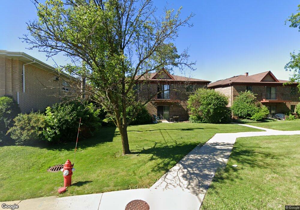
7610 W 26th St Unit 5 Riverside, IL 60546
Estimated Value: $207,000 - $275,000
2
Beds
2
Baths
1,046
Sq Ft
$233/Sq Ft
Est. Value
About This Home
This home is located at 7610 W 26th St Unit 5, Riverside, IL 60546 and is currently estimated at $244,160, approximately $233 per square foot. 7610 W 26th St Unit 5 is a home located in Cook County with nearby schools including A F Ames Elementary School, L J Hauser Jr High School, and Riverside Brookfield High School.
Ownership History
Date
Name
Owned For
Owner Type
Purchase Details
Closed on
Mar 9, 2010
Sold by
Leathers Susan and Leathers James
Bought by
Dy Pui Wing W
Current Estimated Value
Home Financials for this Owner
Home Financials are based on the most recent Mortgage that was taken out on this home.
Original Mortgage
$80,000
Outstanding Balance
$49,669
Interest Rate
3.75%
Mortgage Type
New Conventional
Estimated Equity
$194,491
Create a Home Valuation Report for This Property
The Home Valuation Report is an in-depth analysis detailing your home's value as well as a comparison with similar homes in the area
Home Values in the Area
Average Home Value in this Area
Purchase History
| Date | Buyer | Sale Price | Title Company |
|---|---|---|---|
| Dy Pui Wing W | $164,000 | 1St American Title |
Source: Public Records
Mortgage History
| Date | Status | Borrower | Loan Amount |
|---|---|---|---|
| Open | Dy Pui Wing W | $80,000 |
Source: Public Records
Tax History Compared to Growth
Tax History
| Year | Tax Paid | Tax Assessment Tax Assessment Total Assessment is a certain percentage of the fair market value that is determined by local assessors to be the total taxable value of land and additions on the property. | Land | Improvement |
|---|---|---|---|---|
| 2024 | $3,697 | $16,599 | $3,740 | $12,859 |
| 2023 | $3,792 | $16,599 | $3,740 | $12,859 |
| 2022 | $3,792 | $14,836 | $1,963 | $12,873 |
| 2021 | $3,678 | $14,835 | $1,963 | $12,872 |
| 2020 | $3,637 | $14,835 | $1,963 | $12,872 |
| 2019 | $2,849 | $12,799 | $1,776 | $11,023 |
| 2018 | $2,766 | $12,799 | $1,776 | $11,023 |
| 2017 | $2,708 | $12,799 | $1,776 | $11,023 |
| 2016 | $3,582 | $14,275 | $1,495 | $12,780 |
| 2015 | $3,453 | $14,275 | $1,495 | $12,780 |
| 2014 | $3,468 | $14,275 | $1,495 | $12,780 |
| 2013 | $3,375 | $14,915 | $1,495 | $13,420 |
Source: Public Records
Map
Nearby Homes
- 472 Northgate Ct
- 2527 Keystone Ave
- 2513 Keystone Ave
- 2252 Northgate Ave
- 2311 Park Ave
- 562 Byrd Rd
- 2230 Keystone Ave
- 2245 Des Plaines Ave Unit B
- 339 Eastgrove Rd
- 727 Selborne Rd
- 2914 Maple Ave
- 269 Shenstone Rd
- 475 Shenstone Rd Unit 303
- 3032 Wisconsin Ave
- 6921 26th St
- 2221 Home Ave
- 2246 Clinton Ave
- 2508 Kenilworth Ave
- 2516 Kenilworth Ave
- 3107 Wenonah Ave
- 7610 W 26th St Unit 6
- 7610 W 26th St Unit 3
- 7610 W 26th St Unit 2
- 7610 W 26th St Unit 1
- 7610 W 26th St Unit 7
- 7610 W 26th St Unit 4
- 7636 W 26th St Unit 2-W
- 7638 W 26th St
- 7638 W 26th St Unit 2W
- 7638 W 26th St Unit 1W
- 2527 Hainsworth Ave
- 2525 Hainsworth Ave
- 2523 Hainsworth Ave
- 2521 Hainsworth Ave
- 2519 Hainsworth Ave
- 7625 W 25th St
- 468 Northgate Ct
- 2515 Hainsworth Ave
- 2513 Hainsworth Ave
- 473 Northgate Ct