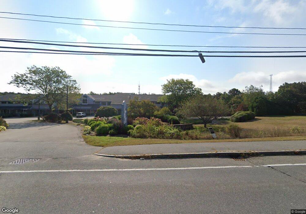
766 Falmouth Rd Unit 5 Mashpee, MA 02649
Estimated Value: $504,433
--
Bed
--
Bath
1,920
Sq Ft
$263/Sq Ft
Est. Value
About This Home
This home is located at 766 Falmouth Rd Unit 5, Mashpee, MA 02649 and is currently estimated at $504,433, approximately $262 per square foot. 766 Falmouth Rd Unit 5 is a home located in Barnstable County with nearby schools including Kenneth C. Coombs School, Quashnet School, and Mashpee Middle School.
Ownership History
Date
Name
Owned For
Owner Type
Purchase Details
Closed on
May 24, 2002
Sold by
Holland John J
Bought by
G&G Rt and Gargiulo Richard A
Current Estimated Value
Home Financials for this Owner
Home Financials are based on the most recent Mortgage that was taken out on this home.
Original Mortgage
$140,000
Outstanding Balance
$59,449
Interest Rate
7.01%
Mortgage Type
Commercial
Estimated Equity
$444,984
Create a Home Valuation Report for This Property
The Home Valuation Report is an in-depth analysis detailing your home's value as well as a comparison with similar homes in the area
Home Values in the Area
Average Home Value in this Area
Purchase History
| Date | Buyer | Sale Price | Title Company |
|---|---|---|---|
| G&G Rt | $175,000 | -- |
Source: Public Records
Mortgage History
| Date | Status | Borrower | Loan Amount |
|---|---|---|---|
| Open | G&G Rt | $140,000 |
Source: Public Records
Tax History Compared to Growth
Tax History
| Year | Tax Paid | Tax Assessment Tax Assessment Total Assessment is a certain percentage of the fair market value that is determined by local assessors to be the total taxable value of land and additions on the property. | Land | Improvement |
|---|---|---|---|---|
| 2025 | $2,514 | $397,100 | $0 | $397,100 |
| 2024 | $2,490 | $391,500 | $0 | $391,500 |
| 2023 | $2,666 | $384,200 | $0 | $384,200 |
| 2022 | $3,004 | $367,700 | $0 | $367,700 |
| 2021 | $3,070 | $338,500 | $0 | $338,500 |
| 2020 | $3,004 | $330,500 | $0 | $330,500 |
| 2019 | $2,909 | $321,400 | $0 | $321,400 |
| 2018 | $2,544 | $285,200 | $0 | $285,200 |
| 2017 | $2,574 | $280,100 | $0 | $280,100 |
| 2016 | $2,489 | $269,400 | $0 | $269,400 |
| 2015 | $2,409 | $264,400 | $0 | $264,400 |
| 2014 | $2,483 | $264,400 | $0 | $264,400 |
Source: Public Records
Map
Nearby Homes
- T 131 Shellback Way Unit 131
- T 131 Shellback Way Unit T
- 38 Shellback Way Unit 38
- 108 Shellback Way Unit Q
- 108 Shellback Way Unit 108Q
- 64 Shellback Way Unit 64
- 64 Shellback Way Unit K
- 40 Shellback Way Unit F
- 69 Shellback Way Unit K
- 69 Shellback Way
- 9 North Way
- 41 Great Pines Dr
- 10 Shadbush Cir
- 8 Shadbush Cir
- 17 Wood Rd
- 247 Great Pines Dr
- 22 & 26 Oyster Way
- 22 Oyster Way
- 26 Oyster Way
- 300 Nathan Ellis Hwy Unit 50
- 766 Falmouth Rd Unit 7
- 766 Falmouth Rd Unit 12 & 13
- 766 Falmouth Rd Unit 15
- 766 Falmouth Rd Unit 4
- 766 Falmouth Rd Unit 9
- 766 Falmouth Rd Unit 6
- 766 Falmouth Rd Unit 11
- 766 Falmouth Rd Unit 19
- 766 Falmouth Rd Unit 8
- 766 Falmouth Rd Unit 3
- 766 Falmouth Rd Unit 13
- 766 Falmouth Rd Unit 1
- 766 Falmouth Rd Unit 14
- 766 Falmouth Rd Unit 20
- 766 Falmouth Rd Unit 10
- 766 Falmouth Rd Unit 16
- 766 Falmouth Rd Unit 18
- 766 Falmouth Rd Unit 12
- 766 Falmouth Rd Unit 21
- 766 Falmouth Rd Unit 17