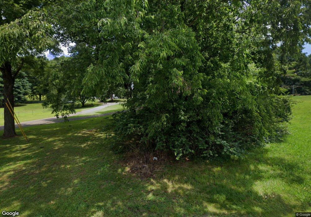
771 Nance Rd Pulaski, TN 38478
Estimated Value: $185,000 - $312,000
Studio
3
Baths
2,447
Sq Ft
$99/Sq Ft
Est. Value
About This Home
This home is located at 771 Nance Rd, Pulaski, TN 38478 and is currently estimated at $243,380, approximately $99 per square foot. 771 Nance Rd is a home located in Giles County with nearby schools including Pulaski Elementary School, Southside Elementary School, and Bridgeforth Middle School.
Ownership History
Date
Name
Owned For
Owner Type
Purchase Details
Closed on
Sep 22, 2005
Sold by
Wells Fargo Bank Minnesota
Bought by
Hayes Douglas B
Current Estimated Value
Home Financials for this Owner
Home Financials are based on the most recent Mortgage that was taken out on this home.
Original Mortgage
$55,055
Interest Rate
5.86%
Purchase Details
Closed on
Jun 28, 2005
Bought by
Wells Fargo Bank Minnesota
Purchase Details
Closed on
Aug 26, 1997
Sold by
White Nelson
Bought by
Stampfly David E and Stampfly Mary
Home Financials for this Owner
Home Financials are based on the most recent Mortgage that was taken out on this home.
Original Mortgage
$43,000
Interest Rate
7.39%
Purchase Details
Closed on
Mar 4, 1989
Bought by
White Nelson and White Ivarene M
Purchase Details
Closed on
Aug 8, 1987
Bought by
Darnell Jesse Eldon and Darnell Claire
Create a Home Valuation Report for This Property
The Home Valuation Report is an in-depth analysis detailing your home's value as well as a comparison with similar homes in the area
Purchase History
| Date | Buyer | Sale Price | Title Company |
|---|---|---|---|
| Hayes Douglas B | $55,000 | -- | |
| Wells Fargo Bank Minnesota | $68,400 | -- | |
| Stampfly David E | $45,000 | -- | |
| White Nelson | $30,000 | -- | |
| Darnell Jesse Eldon | -- | -- |
Source: Public Records
Mortgage History
| Date | Status | Borrower | Loan Amount |
|---|---|---|---|
| Closed | Darnell Jesse Eldon | $55,055 | |
| Previous Owner | Darnell Jesse Eldon | $43,000 |
Source: Public Records
Tax History
| Year | Tax Paid | Tax Assessment Tax Assessment Total Assessment is a certain percentage of the fair market value that is determined by local assessors to be the total taxable value of land and additions on the property. | Land | Improvement |
|---|---|---|---|---|
| 2025 | $1,136 | $49,275 | $0 | $0 |
| 2024 | $979 | $49,275 | $9,250 | $40,025 |
| 2023 | $979 | $49,275 | $9,250 | $40,025 |
| 2022 | $979 | $49,275 | $9,250 | $40,025 |
| 2021 | $808 | $28,600 | $4,075 | $24,525 |
| 2020 | $808 | $28,600 | $4,075 | $24,525 |
| 2019 | $808 | $28,600 | $4,075 | $24,525 |
| 2018 | $808 | $28,600 | $4,075 | $24,525 |
| 2017 | $808 | $28,600 | $4,075 | $24,525 |
| 2016 | $794 | $26,725 | $3,775 | $22,950 |
| 2015 | $741 | $26,725 | $3,775 | $22,950 |
| 2014 | $740 | $26,705 | $0 | $0 |
Source: Public Records
Map
Nearby Homes
- 1177 Bethel Rd
- 1716 Keller Ave
- 17.25 W Hwy 11
- 902 Brenda Dr
- 1531 Paulk Ln
- 0 Jackson Dr Unit RTC3067618
- 1307 Carroll Dr
- 3476 Minor Hill Hwy
- 1954 Hidden Hills Rd
- 730 Rackley Dr
- 1205 Beverly Dr
- 1336 Charlotte Ct
- 1081 Donahue Rd
- 221 Fry Ln
- 3878 Minor Hill Hwy
- 271 Chicken Creek Rd
- 2400 Chicken Creek Rd
- 1 Chicken Creek Rd
- 2200 Crescentview Rd
- 1825 Elkton Pike
