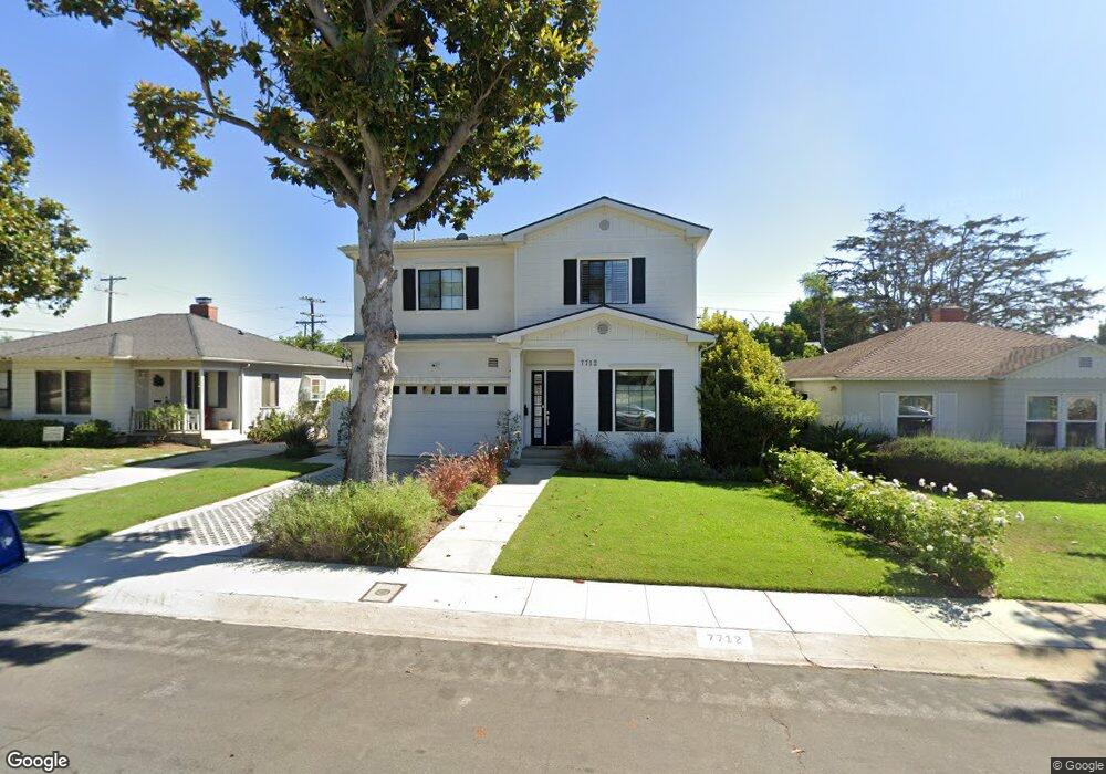
7712 Dunbarton Ave Los Angeles, CA 90045
Westchester NeighborhoodEstimated Value: $2,479,000 - $3,203,000
5
Beds
4
Baths
2,826
Sq Ft
$985/Sq Ft
Est. Value
About This Home
This home is located at 7712 Dunbarton Ave, Los Angeles, CA 90045 and is currently estimated at $2,785,021, approximately $985 per square foot. 7712 Dunbarton Ave is a home located in Los Angeles County with nearby schools including Cowan Avenue Elementary School, Wright Middle School STEAM Magnet, and Westchester Enriched Sciences Magnets.
Ownership History
Date
Name
Owned For
Owner Type
Purchase Details
Closed on
Feb 22, 2019
Sold by
Hale Crystal E
Bought by
Hale Crystal E and Crystal Hale Living Trust
Current Estimated Value
Purchase Details
Closed on
Mar 2, 2017
Sold by
Tjc Real Estate Fund I Lp
Bought by
Hale Crystal E
Purchase Details
Closed on
Feb 17, 2016
Sold by
Pfost Sherry J
Bought by
Tjc Real Estate Fund I Lp
Create a Home Valuation Report for This Property
The Home Valuation Report is an in-depth analysis detailing your home's value as well as a comparison with similar homes in the area
Home Values in the Area
Average Home Value in this Area
Purchase History
| Date | Buyer | Sale Price | Title Company |
|---|---|---|---|
| Hale Crystal E | -- | None Available | |
| Hale Crystal E | $2,055,000 | Fidelity Sherman Oaks | |
| Tjc Real Estate Fund I Lp | $850,000 | Fidelity National Title Co |
Source: Public Records
Tax History
| Year | Tax Paid | Tax Assessment Tax Assessment Total Assessment is a certain percentage of the fair market value that is determined by local assessors to be the total taxable value of land and additions on the property. | Land | Improvement |
|---|---|---|---|---|
| 2025 | $28,399 | $2,384,997 | $1,670,079 | $714,918 |
| 2024 | $28,399 | $2,338,233 | $1,637,333 | $700,900 |
| 2023 | $27,846 | $2,292,386 | $1,605,229 | $687,157 |
| 2022 | $26,545 | $2,247,438 | $1,573,754 | $673,684 |
| 2021 | $26,219 | $2,203,372 | $1,542,897 | $660,475 |
| 2019 | $25,428 | $2,138,021 | $1,497,135 | $640,886 |
| 2018 | $25,317 | $2,096,100 | $1,467,780 | $628,320 |
| 2016 | $1,192 | $89,003 | $56,723 | $32,280 |
| 2015 | $1,177 | $87,667 | $55,871 | $31,796 |
| 2014 | $1,191 | $85,951 | $54,777 | $31,174 |
Source: Public Records
Map
Nearby Homes
- 7737 Denrock Ave
- 7836 Dunbarton Ave
- 7501 Agnew Ave
- 7520 Stewart Ave
- 7841 Stewart Ave
- 7324 Westlawn Ave
- 7403 Stewart Ave
- 8025 Stewart Ave
- 7975 Chase Ave
- 8040 Agnew Ave
- 6606 W 80th Place
- 12615 Seacoast Place
- 8044 Cowan Ave
- 7819 El Manor Ave
- 8004 El Manor Ave
- 8008 El Manor Ave
- 8308 Mcconnell Ave
- 7427 Henefer Ave
- 7449 Kentwood Ave
- 12840 S Seaglass Cir
- 7716 Dunbarton Ave
- 7706 Dunbarton Ave
- 7722 Dunbarton Ave
- 7700 Dunbarton Ave
- 7711 Agnew Ave
- 7707 Agnew Ave
- 7717 Agnew Ave
- 7701 Agnew Ave
- 7721 Agnew Ave
- 7728 Dunbarton Ave
- 7711 Dunbarton Ave
- 7717 Dunbarton Ave
- 7707 Dunbarton Ave
- 7721 Dunbarton Ave
- 7727 Agnew Ave
- 7732 Dunbarton Ave
- 7701 Dunbarton Ave
- 7727 Dunbarton Ave
- 7550 Dunbarton Ave
- 7731 Agnew Ave
Your Personal Tour Guide
Ask me questions while you tour the home.