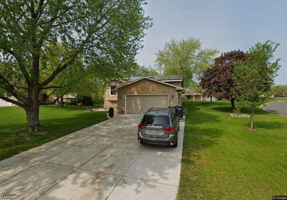
773 Canter Glen Cir Saint Paul, MN 55123
Estimated Value: $407,000 - $444,000
4
Beds
2
Baths
1,085
Sq Ft
$400/Sq Ft
Est. Value
About This Home
This home is located at 773 Canter Glen Cir, Saint Paul, MN 55123 and is currently estimated at $433,597, approximately $399 per square foot. 773 Canter Glen Cir is a home located in Dakota County with nearby schools including Woodland Elementary School, Dakota Hills Middle School, and Eagan Senior High School.
Ownership History
Date
Name
Owned For
Owner Type
Purchase Details
Closed on
Mar 11, 2015
Sold by
Donnell Lydia Beth O
Bought by
Donnell Chad Michael O
Current Estimated Value
Purchase Details
Closed on
Nov 4, 2005
Sold by
Not Provided and Edwards Connie E
Bought by
Odonnell Chad M and Odonnell Lydia B
Purchase Details
Closed on
Jul 30, 1999
Sold by
Read Scott C and Read Theresa K
Bought by
Edwards Aron Dale and Edwards Connie Evans
Create a Home Valuation Report for This Property
The Home Valuation Report is an in-depth analysis detailing your home's value as well as a comparison with similar homes in the area
Home Values in the Area
Average Home Value in this Area
Purchase History
| Date | Buyer | Sale Price | Title Company |
|---|---|---|---|
| Donnell Chad Michael O | -- | None Available | |
| Odonnell Chad M | $266,000 | -- | |
| Edwards Aron Dale | $171,000 | -- |
Source: Public Records
Tax History Compared to Growth
Tax History
| Year | Tax Paid | Tax Assessment Tax Assessment Total Assessment is a certain percentage of the fair market value that is determined by local assessors to be the total taxable value of land and additions on the property. | Land | Improvement |
|---|---|---|---|---|
| 2024 | $4,242 | $403,000 | $122,000 | $281,000 |
| 2023 | $4,242 | $392,100 | $122,400 | $269,700 |
| 2022 | $3,806 | $379,500 | $122,000 | $257,500 |
| 2021 | $3,620 | $343,100 | $106,100 | $237,000 |
| 2020 | $3,586 | $320,100 | $101,100 | $219,000 |
| 2019 | $3,450 | $309,500 | $96,200 | $213,300 |
| 2018 | $3,031 | $313,600 | $91,700 | $221,900 |
| 2017 | $3,034 | $270,500 | $87,300 | $183,200 |
| 2016 | $3,154 | $259,300 | $83,100 | $176,200 |
| 2015 | $3,109 | $241,364 | $78,472 | $162,892 |
| 2014 | -- | $241,364 | $76,394 | $164,970 |
| 2013 | -- | $207,574 | $67,836 | $139,738 |
Source: Public Records
Map
Nearby Homes
- 785 Canter Glen Cir
- 3902 Canter Glen Dr
- 3806 Bridgewater Dr
- 826 Hidden Meadow Trail
- 4027 Camberwell Dr N
- 4080 Camberwell Dr N
- 4124 New York Ave
- 711 Stonebridge Cir
- 4001 Haven Woods Ct
- 680 Brockton Curve
- 3998 Haven Woods Ct
- 4125 Pennsylvania Ave
- 3726 Wescott Hills Dr
- 790 Summerbrooke Ct
- 782 Summerbrooke Ct
- 4358 Yorktown Dr
- 3675 Woodland Trail
- 995 Stony Point Rd
- 999 Northview Park Rd
- 591 Autumn Oaks Ct
- 777 Canter Glen Cir
- 3883 Canter Glen Dr
- 3888 Canter Glen Dr
- 781 Canter Glen Cir
- 3879 Canter Glen Dr
- 776 Canter Glen Cir
- 3869 Canter Glen Ln
- 3894 Canter Glen Dr
- 782 Mill Run Path
- 778 Mill Run Path
- 3875 Canter Glen Dr
- 786 Mill Run Path
- 780 Canter Glen Cir
- 784 Canter Glen Cir
- 774 Mill Run Path
- 3873 Canter Glen Ln
- 790 Mill Run Path
- 3899 Canter Glen Dr
- 3898 Canter Glen Dr
- 770 Mill Run Path