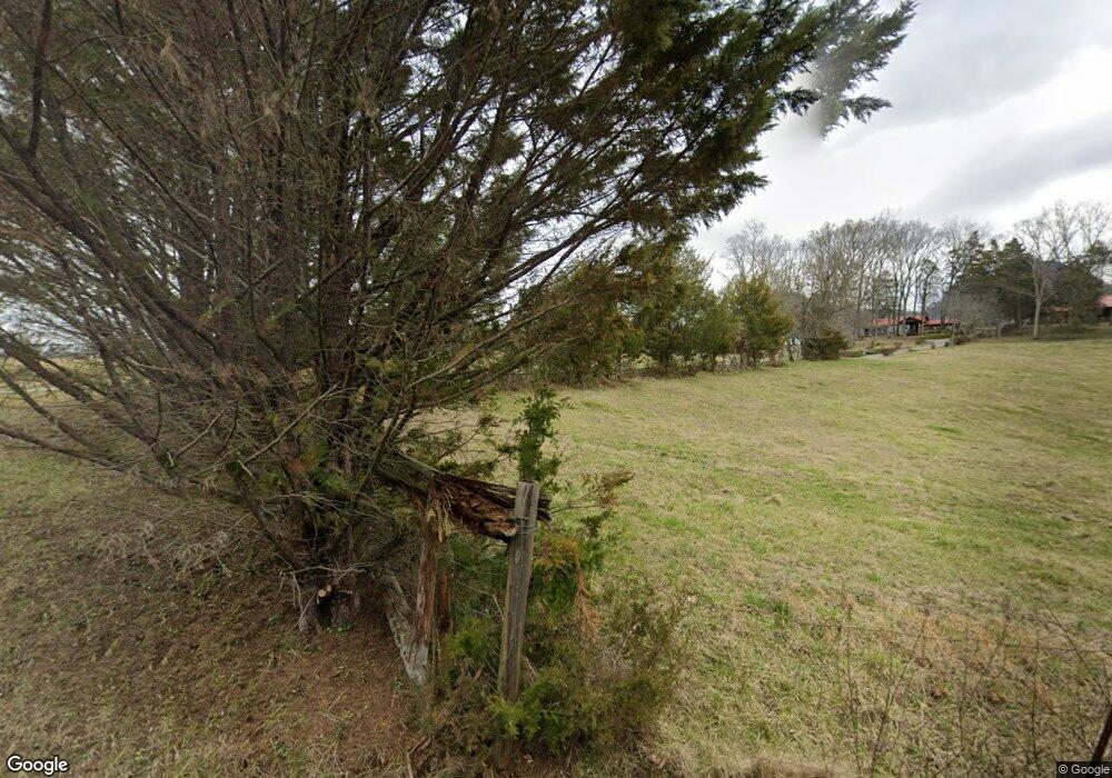
7744 Dyer Rd Luttrell, TN 37779
Estimated Value: $425,000 - $672,000
3
Beds
3
Baths
1,800
Sq Ft
$309/Sq Ft
Est. Value
About This Home
This home is located at 7744 Dyer Rd, Luttrell, TN 37779 and is currently estimated at $557,000, approximately $309 per square foot. 7744 Dyer Rd is a home with nearby schools including Corryton Elementary School, Gibbs High School, and Gibbs Middle School.
Ownership History
Date
Name
Owned For
Owner Type
Purchase Details
Closed on
May 14, 2024
Sold by
Watt Lee Crossing Llc
Bought by
Rooney Land Development Llc
Current Estimated Value
Purchase Details
Closed on
May 24, 2021
Sold by
Phillips Roger D and Phillips Grace S
Bought by
Qualls D Russell D and Qualls Angela
Home Financials for this Owner
Home Financials are based on the most recent Mortgage that was taken out on this home.
Original Mortgage
$92,000
Interest Rate
3%
Mortgage Type
Seller Take Back
Purchase Details
Closed on
Feb 17, 2015
Sold by
Phillips Roger D and Phillips Grace S
Bought by
The Phillips Family Revocable Living Tru
Create a Home Valuation Report for This Property
The Home Valuation Report is an in-depth analysis detailing your home's value as well as a comparison with similar homes in the area
Home Values in the Area
Average Home Value in this Area
Purchase History
| Date | Buyer | Sale Price | Title Company |
|---|---|---|---|
| Rooney Land Development Llc | -- | None Listed On Document | |
| Rooney Land Development Llc | $2,225,000 | None Listed On Document | |
| Watt Lee Crossing Llc | -- | None Listed On Document | |
| Watt Lee Crossing Llc | $1,500,000 | None Listed On Document | |
| Qualls D Russell D | $117,000 | Tennessee Valley Ttl Ins Co | |
| The Phillips Family Revocable Living Tru | -- | None Available |
Source: Public Records
Mortgage History
| Date | Status | Borrower | Loan Amount |
|---|---|---|---|
| Previous Owner | Qualls D Russell D | $92,000 |
Source: Public Records
Tax History Compared to Growth
Tax History
| Year | Tax Paid | Tax Assessment Tax Assessment Total Assessment is a certain percentage of the fair market value that is determined by local assessors to be the total taxable value of land and additions on the property. | Land | Improvement |
|---|---|---|---|---|
| 2025 | $1,908 | $122,800 | $0 | $0 |
| 2024 | $1,908 | $122,800 | $0 | $0 |
| 2023 | $1,908 | $122,800 | $0 | $0 |
| 2022 | $1,908 | $122,800 | $0 | $0 |
| 2021 | $2,139 | $100,900 | $0 | $0 |
| 2020 | $2,139 | $100,900 | $0 | $0 |
| 2019 | $2,139 | $100,900 | $0 | $0 |
| 2018 | $2,139 | $100,900 | $0 | $0 |
| 2017 | $2,139 | $100,900 | $0 | $0 |
| 2016 | $2,103 | $0 | $0 | $0 |
| 2015 | $2,103 | $0 | $0 | $0 |
| 2014 | $2,103 | $0 | $0 | $0 |
Source: Public Records
Map
Nearby Homes
- 0 Washington Pike Unit 1228004
- 10728 Mountain Rd
- 10724 E Emory Rd
- 505 Mckinney Rd
- 503 Emory Rd
- 446 Emory Rd
- 9650 Captain Smith Ln
- 7915 Corryton Luttrell Rd
- 0 Rutledge Pike Unit 1270357
- Lot 5 Rutledge Pike
- Lot 7 Rutledge Pike
- 9320 E Emory Rd
- 503 Pine St
- 540 Monday Rd
- 240 Old Rutledge Pike W
- 8012 Corryton Rd
- 9228 Washington Pike
- 337 Eastland Park Dr
- 343 Angus Crossing Unit 12
- 3528 Highway 61 E
- 7736 Dyer Rd
- 7800 Dyer Rd
- 7741 Dyer Rd
- 4716 Highway 61 E
- 4710 Highway 61 E
- 7619 Dyer Rd
- 7611 Dyer Rd
- 7823 Dyer Rd
- 0 Washington Pike
- 10609 Washington Pike
- 10715 Washington Pike
- 10531 Washington Pike
- 7712 Longmire Rd
- 4526 Highway 61 E
- 219 Keystown Rd
- 4721 Highway 61 E
- 4601 Highway 61 E
- 4575 Highway 61 E
- 10608 Washington Pike
- 7640 Longmire Rd
