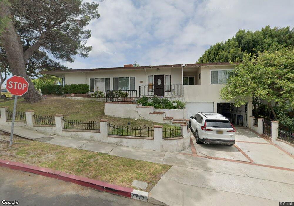
7777 Flight Ave Los Angeles, CA 90045
Westchester NeighborhoodEstimated Value: $1,558,000 - $1,963,000
3
Beds
2
Baths
2,222
Sq Ft
$775/Sq Ft
Est. Value
About This Home
This home is located at 7777 Flight Ave, Los Angeles, CA 90045 and is currently estimated at $1,723,092, approximately $775 per square foot. 7777 Flight Ave is a home located in Los Angeles County with nearby schools including Westport Heights Elementary, Wright Middle School STEAM Magnet, and Westchester Enriched Sciences Magnets.
Ownership History
Date
Name
Owned For
Owner Type
Purchase Details
Closed on
Oct 7, 2018
Sold by
Chong Chester P Y and Chow Carly Mun Yu
Bought by
Chong Chester and Chong Carly
Current Estimated Value
Create a Home Valuation Report for This Property
The Home Valuation Report is an in-depth analysis detailing your home's value as well as a comparison with similar homes in the area
Home Values in the Area
Average Home Value in this Area
Purchase History
| Date | Buyer | Sale Price | Title Company |
|---|---|---|---|
| Chong Chester | -- | None Available |
Source: Public Records
Tax History Compared to Growth
Tax History
| Year | Tax Paid | Tax Assessment Tax Assessment Total Assessment is a certain percentage of the fair market value that is determined by local assessors to be the total taxable value of land and additions on the property. | Land | Improvement |
|---|---|---|---|---|
| 2025 | $6,944 | $555,303 | $343,374 | $211,929 |
| 2024 | $6,944 | $544,416 | $336,642 | $207,774 |
| 2023 | $6,818 | $533,742 | $330,042 | $203,700 |
| 2022 | $6,516 | $523,277 | $323,571 | $199,706 |
| 2021 | $6,425 | $513,018 | $317,227 | $195,791 |
| 2019 | $6,239 | $497,804 | $307,819 | $189,985 |
| 2018 | $6,135 | $488,044 | $301,784 | $186,260 |
| 2016 | $5,856 | $469,094 | $290,066 | $179,028 |
| 2015 | $5,773 | $462,048 | $285,709 | $176,339 |
| 2014 | $5,799 | $452,998 | $280,113 | $172,885 |
Source: Public Records
Map
Nearby Homes
- 7803 Flight Ave
- 5858 Abernathy Dr
- 5723 W 74th St
- 5600 W 78th St
- 7701 Toland Ave
- 5845 W 74th St
- 5467 W 76th St
- 5966 Abernathy Dr
- 7840 Boeing Ave
- 5530 Thornburn St Unit 102
- 5506 Thornburn St
- 8130 Grimsby Ave
- 5503 Thornburn St
- 5400 Thornburn St
- 7100 Alvern St Unit 404
- 7100 Alvern St Unit 317
- 5988 W 76th St
- 5401 Thornburn St
- 7701 Hindry Ave
- 7559 Midfield Ave
- 7613 Flight Ave
- 5805 Abernathy Dr
- 5801 Abernathy Dr
- 5809 Abernathy Dr
- 7607 Flight Ave
- 7801 Flight Ave
- 7624 Flight Ave
- 7612 Flight Ave
- 5813 Abernathy Dr
- 7601 Flight Ave
- 5760 W 78th St
- 7606 Flight Ave
- 5802 Compass Dr
- 7805 Flight Ave
- 5708 W 76th St
- 7804 Flight Ave
- 5817 Abernathy Dr
- 5804 Abernathy Dr
- 7600 Flight Ave
- 5804 Abernathy Dr