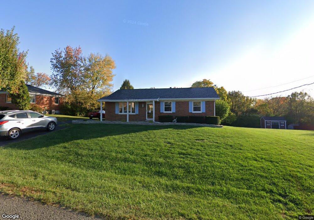
779 Jimae Ave Independence, KY 41051
Estimated Value: $212,745 - $279,000
3
Beds
2
Baths
1,188
Sq Ft
$199/Sq Ft
Est. Value
About This Home
This home is located at 779 Jimae Ave, Independence, KY 41051 and is currently estimated at $235,936, approximately $198 per square foot. 779 Jimae Ave is a home located in Kenton County with nearby schools including White's Tower Elementary School, Woodland Middle School, and Scott High School.
Ownership History
Date
Name
Owned For
Owner Type
Purchase Details
Closed on
Jun 23, 2015
Sold by
Wesley Thelma Jo and Wesley Thelma J
Bought by
Guard Ventures Llc
Current Estimated Value
Create a Home Valuation Report for This Property
The Home Valuation Report is an in-depth analysis detailing your home's value as well as a comparison with similar homes in the area
Home Values in the Area
Average Home Value in this Area
Purchase History
| Date | Buyer | Sale Price | Title Company |
|---|---|---|---|
| Guard Ventures Llc | $125,000 | Kentucky Land Title Agency I |
Source: Public Records
Tax History
| Year | Tax Paid | Tax Assessment Tax Assessment Total Assessment is a certain percentage of the fair market value that is determined by local assessors to be the total taxable value of land and additions on the property. | Land | Improvement |
|---|---|---|---|---|
| 2025 | $1,434 | $172,400 | $35,000 | $137,400 |
| 2024 | $1,325 | $154,500 | $25,000 | $129,500 |
| 2023 | $1,364 | $154,500 | $25,000 | $129,500 |
| 2022 | $1,505 | $154,500 | $25,000 | $129,500 |
| 2021 | $1,527 | $154,500 | $25,000 | $129,500 |
| 2020 | $1,210 | $126,500 | $20,000 | $106,500 |
| 2019 | $1,213 | $126,500 | $20,000 | $106,500 |
| 2018 | $1,241 | $126,500 | $20,000 | $106,500 |
| 2017 | $1,688 | $126,500 | $20,000 | $106,500 |
| 2015 | $1,095 | $100,000 | $20,000 | $80,000 |
| 2014 | -- | $120,000 | $40,000 | $80,000 |
Source: Public Records
Map
Nearby Homes
- 798 Cox Rd
- 765 Jimae Ave
- 6500 Meadow Creek Dr
- 6519 Meadow Creek Dr
- 789 Stonybrook Ct
- 4386 Alleen Ct
- 4370 Oliver Rd
- 798 Stonybrook Ct
- 5510 Fowler Creek Rd
- 4448 Oliver Rd
- 4394 Boston Ln
- 6681 Tullamore Ln Unit Lot 3
- 692 Sycamore Dr
- 718 Willow Green Dr
- 714 Willow Green Dr
- 724 Bear Ct
- 6703 Tullamore Ln Unit Lot 7
- 6409 Stonemill Dr
- 772 Durrow Dr Unit Lot 26
- 685 Skyway Dr
Your Personal Tour Guide
Ask me questions while you tour the home.