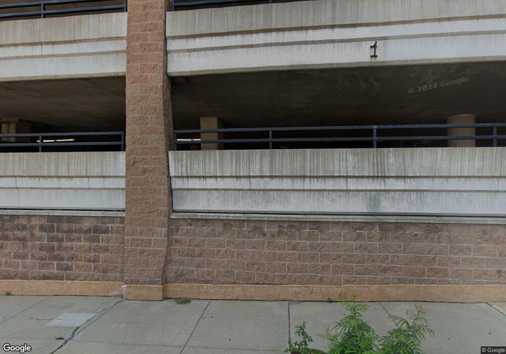
The Pointe 78 10th St E Unit R1506 Saint Paul, MN 55101
Downtown NeighborhoodEstimated Value: $121,000 - $174,000
1
Bed
1
Bath
640
Sq Ft
$219/Sq Ft
Est. Value
About This Home
This home is located at 78 10th St E Unit R1506, Saint Paul, MN 55101 and is currently estimated at $140,447, approximately $219 per square foot. 78 10th St E Unit R1506 is a home located in Ramsey County with nearby schools including Bruce F Vento Elementary School, John A.Johnson Achievement Plus Elementary School, and Uncommon Schools Camden Prep - Mt. Ephraim Campus.
Ownership History
Date
Name
Owned For
Owner Type
Purchase Details
Closed on
Dec 4, 2017
Sold by
Sharmini Joseph Marie L and Joseph Eugene G
Bought by
Anderson Amy E
Current Estimated Value
Home Financials for this Owner
Home Financials are based on the most recent Mortgage that was taken out on this home.
Original Mortgage
$147,250
Outstanding Balance
$124,004
Interest Rate
3.95%
Mortgage Type
New Conventional
Estimated Equity
$16,443
Create a Home Valuation Report for This Property
The Home Valuation Report is an in-depth analysis detailing your home's value as well as a comparison with similar homes in the area
Home Values in the Area
Average Home Value in this Area
Purchase History
| Date | Buyer | Sale Price | Title Company |
|---|---|---|---|
| Anderson Amy E | $155,000 | Surnet Title |
Source: Public Records
Mortgage History
| Date | Status | Borrower | Loan Amount |
|---|---|---|---|
| Open | Anderson Amy E | $147,250 |
Source: Public Records
Tax History Compared to Growth
Tax History
| Year | Tax Paid | Tax Assessment Tax Assessment Total Assessment is a certain percentage of the fair market value that is determined by local assessors to be the total taxable value of land and additions on the property. | Land | Improvement |
|---|---|---|---|---|
| 2025 | $1,736 | $131,500 | $1,000 | $130,500 |
| 2023 | $1,736 | $129,000 | $1,000 | $128,000 |
| 2022 | $2,144 | $134,400 | $1,000 | $133,400 |
| 2021 | $2,044 | $151,100 | $1,000 | $150,100 |
| 2020 | $2,144 | $149,700 | $1,000 | $148,700 |
| 2019 | $1,916 | $146,900 | $1,000 | $145,900 |
| 2018 | $2,238 | $132,500 | $1,000 | $131,500 |
| 2017 | $1,788 | $132,000 | $1,000 | $131,000 |
| 2016 | $1,842 | $0 | $0 | $0 |
| 2015 | $1,620 | $108,600 | $5,400 | $103,200 |
| 2014 | $1,724 | $0 | $0 | $0 |
Source: Public Records
About The Pointe
Map
Nearby Homes
- 78 10th St E Unit R2104
- 78 10th St E Unit R1808
- 78 10th St E Unit R2807
- 78 10th St E Unit 901R
- 78 10th St E Unit R2409
- 78 10th St E Unit R3309
- 78 10th St E Unit R1802
- 78 10th St E Unit R1710
- 78 10th St E Unit R806
- 78 10th St E Unit 2902
- 78 10th St E Unit R2004
- 78 10th St E Unit R1010
- 78 10th St E Unit R604
- 66 9th St E Unit 1210
- 66 9th St E Unit 2315
- 66 9th St E Unit 1613
- 66 9th St E Unit 1315
- 66 9th St E Unit 1609
- 66 9th St E Unit 2501
- 66 9th St E Unit 1313
- 78 10th St E Unit 1408
- 78 10th St E Unit R1708
- 78 10th St E Unit R2909
- 78 10th St E Unit P099
- 78 10th St E Unit P238
- 78 10th St E Unit P322
- 78 10th St E Unit P232
- 78 10th St E Unit P011
- 78 10th St E Unit P369
- 78 10th St E Unit P064
- 78 10th St E Unit P181
- 78 10th St E Unit R2001
- 78 10th St E Unit R3002
- 78 10th St E Unit P310
- 78 10th St E Unit P045
- 78 10th St E Unit P210
- 78 10th St E Unit P135
- 78 10th St E Unit P025
- 78 10th St E Unit P031
- 78 10th St E Unit P347
