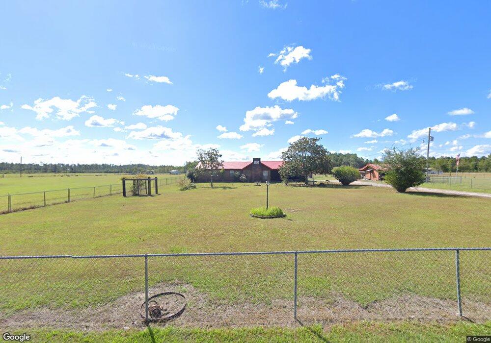
7800 Carter Rd Moss Point, MS 39562
Estimated Value: $173,000 - $249,000
3
Beds
2
Baths
1,588
Sq Ft
$134/Sq Ft
Est. Value
About This Home
This home is located at 7800 Carter Rd, Moss Point, MS 39562 and is currently estimated at $212,477, approximately $133 per square foot. 7800 Carter Rd is a home located in Jackson County with nearby schools including East Central Lower Elementary School, East Central Upper Elementary School, and East Central Middle School.
Ownership History
Date
Name
Owned For
Owner Type
Purchase Details
Closed on
Feb 4, 2016
Sold by
Dore Myra Lynette
Bought by
Benge William E
Current Estimated Value
Purchase Details
Closed on
Jun 13, 2003
Sold by
Jpmorgan Chase Bank National Association
Bought by
Benge William E and Dore Myra Lynnette
Home Financials for this Owner
Home Financials are based on the most recent Mortgage that was taken out on this home.
Original Mortgage
$90,400
Interest Rate
3.53%
Mortgage Type
Purchase Money Mortgage
Create a Home Valuation Report for This Property
The Home Valuation Report is an in-depth analysis detailing your home's value as well as a comparison with similar homes in the area
Home Values in the Area
Average Home Value in this Area
Purchase History
| Date | Buyer | Sale Price | Title Company |
|---|---|---|---|
| Benge William E | -- | None Available | |
| Benge William E | -- | -- |
Source: Public Records
Mortgage History
| Date | Status | Borrower | Loan Amount |
|---|---|---|---|
| Previous Owner | Benge William E | $90,400 |
Source: Public Records
Tax History Compared to Growth
Tax History
| Year | Tax Paid | Tax Assessment Tax Assessment Total Assessment is a certain percentage of the fair market value that is determined by local assessors to be the total taxable value of land and additions on the property. | Land | Improvement |
|---|---|---|---|---|
| 2024 | $838 | $9,485 | $2,289 | $7,196 |
| 2023 | $838 | $9,485 | $2,289 | $7,196 |
| 2022 | $806 | $9,485 | $2,289 | $7,196 |
| 2021 | $812 | $9,535 | $2,289 | $7,246 |
| 2020 | $787 | $9,001 | $2,081 | $6,920 |
| 2019 | $776 | $9,001 | $2,081 | $6,920 |
| 2018 | $723 | $8,396 | $2,081 | $6,315 |
| 2017 | $740 | $8,396 | $2,081 | $6,315 |
| 2016 | $849 | $8,396 | $2,081 | $6,315 |
| 2015 | $798 | $79,230 | $20,810 | $58,420 |
| 2014 | $812 | $8,186 | $2,081 | $6,105 |
| 2013 | $1,316 | $11,591 | $3,122 | $8,469 |
Source: Public Records
Map
Nearby Homes
- 0 Ms-613 Hwy Unit 4116583
- 0 Ms-613 Hwy Unit 4107607
- 0 Ms-613 Hwy Unit 4107612
- 0 Ms-613 Hwy Unit 4116582
- 8537 Augusta Rd
- 14416 Lily Orchard Rd
- 13109 Oak Haven Dr
- 0 Dunn Unit 4117818
- 7605 Methodist Church Rd
- 13524 Highway 613
- 0 R B Dickerson Rd
- 17500 Goff Farm Rd
- -0- Rayford Shumock Rd
- 0 Rayford Shumock Rd Unit 24406728
- 0 Rayford Shumock Rd Unit 4121875
- 27 Acres Brinkman Rd E
- 8200 Butler Rd
- 18517 Goff Farm Rd
- 01 Dap Rd E
- 0 Dap Rd E
- 7733 Carter Rd
- 7729 Carter Rd
- 15100 Charles Williams Rd
- 7700 Carter Rd
- 7900 Carter Rd
- 15109 Charles Williams Rd
- 15107 Charles Williams Rd
- 7936 Carter Rd
- 15013 Curtis Smith Rd
- 15109 Curtis Smith Rd
- 7617 Carter Rd
- 15200 Charles Williams Rd
- 8000 Carter Rd
- 7521 Carter Rd
- 15111 Curtis Smith Rd
- 15109 Ike Brownlow Rd
- 7517 Carter's Rd
- 7517 Carter Rd
- 15227 Charles Williams Rd
- 15132 Curtis Smith Rd