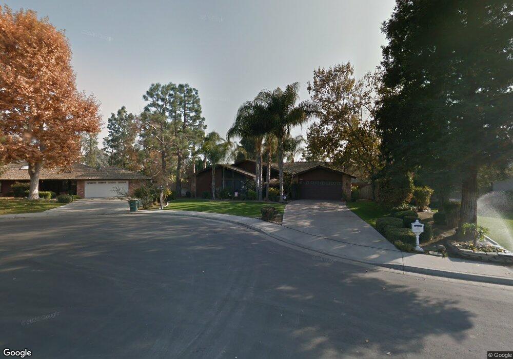
7805 Sechart Ct Bakersfield, CA 93309
Laurelglen NeighborhoodEstimated Value: $412,000 - $436,000
3
Beds
2
Baths
1,967
Sq Ft
$213/Sq Ft
Est. Value
About This Home
This home is located at 7805 Sechart Ct, Bakersfield, CA 93309 and is currently estimated at $419,680, approximately $213 per square foot. 7805 Sechart Ct is a home located in Kern County with nearby schools including Laurelglen Elementary School, Tevis Junior High School, and Bakersfield High School.
Ownership History
Date
Name
Owned For
Owner Type
Purchase Details
Closed on
Sep 9, 1998
Sold by
Mcguire Roger D and Mcguire Glenda A
Bought by
Corson Pete and Corson Rita
Current Estimated Value
Home Financials for this Owner
Home Financials are based on the most recent Mortgage that was taken out on this home.
Original Mortgage
$108,000
Outstanding Balance
$23,030
Interest Rate
6.88%
Mortgage Type
Stand Alone First
Estimated Equity
$396,650
Create a Home Valuation Report for This Property
The Home Valuation Report is an in-depth analysis detailing your home's value as well as a comparison with similar homes in the area
Home Values in the Area
Average Home Value in this Area
Purchase History
| Date | Buyer | Sale Price | Title Company |
|---|---|---|---|
| Corson Pete | $135,000 | Fidelity National Title Co |
Source: Public Records
Mortgage History
| Date | Status | Borrower | Loan Amount |
|---|---|---|---|
| Open | Corson Pete | $108,000 |
Source: Public Records
Tax History Compared to Growth
Tax History
| Year | Tax Paid | Tax Assessment Tax Assessment Total Assessment is a certain percentage of the fair market value that is determined by local assessors to be the total taxable value of land and additions on the property. | Land | Improvement |
|---|---|---|---|---|
| 2025 | $3,130 | $211,613 | $50,152 | $161,461 |
| 2024 | $3,080 | $207,465 | $49,169 | $158,296 |
| 2023 | $3,080 | $203,398 | $48,205 | $155,193 |
| 2022 | $2,955 | $199,410 | $47,260 | $152,150 |
| 2021 | $2,838 | $195,501 | $46,334 | $149,167 |
| 2020 | $2,787 | $193,497 | $45,859 | $147,638 |
| 2019 | $2,749 | $193,497 | $45,859 | $147,638 |
| 2018 | $2,627 | $185,985 | $44,079 | $141,906 |
| 2017 | $2,588 | $182,339 | $43,215 | $139,124 |
| 2016 | $2,423 | $178,765 | $42,368 | $136,397 |
| 2015 | $2,400 | $176,081 | $41,732 | $134,349 |
| 2014 | $2,341 | $172,633 | $40,915 | $131,718 |
Source: Public Records
Map
Nearby Homes
- 3404 Deming Ct
- 7713 Kamloops Dr
- 3113 Loveland Way
- 7321 Alamosa Ln
- 7512 Lordsburg Dr
- 3730 Amur Maple Dr
- 7812 Cibola Dr
- 3808 Amur Maple Dr
- 7108 Wilford Ct
- 3505 Boswellia Dr
- 7731 Cibola Dr
- 7725 Cibola Dr
- 2601 Manitou Way
- 2707 Hoad Ln
- 6900 Palmetto Ct
- 7804 Revelstoke Way
- 7008 N Half Moon Dr
- 2600 Brookside Dr Unit 40
- 2600 Brookside Dr Unit 46
- 7401 Hilton Head Way Unit 21
- 7809 Sechart Ct
- 7801 Sechart Ct
- 7721 S Laurelglen Blvd
- 7813 Sechart Ct
- 7800 Sechart Ct
- 7808 Sechart Ct
- 7713 S Laurelglen Blvd
- 7817 Sechart Ct
- 3108 Blakeburn Ln
- 7801 S Laurelglen Blvd
- 7717 S Laurelglen Blvd
- 7813 S Laurelglen Blvd
- 7813 S Laurelglen Blvd Unit 1
- 3117 Harrogate Ln
- 3113 Harrogate Ln
- 7805 S Laurelglen Blvd
- 7805 S Laurelglen Blvd Unit 1
- 3109 Harrogate Ln
- 7809 S Laurelglen Blvd
- 3104 Blakeburn Ln