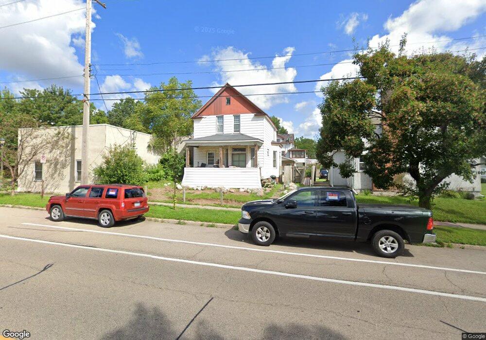
781 Front Ave Saint Paul, MN 55103
Como Park NeighborhoodEstimated Value: $266,000 - $271,000
2
Beds
2
Baths
1,276
Sq Ft
$211/Sq Ft
Est. Value
About This Home
This home is located at 781 Front Ave, Saint Paul, MN 55103 and is currently estimated at $268,667, approximately $210 per square foot. 781 Front Ave is a home located in Ramsey County with nearby schools including Como Park Elementary School, Murray Middle School, and Como Park Senior High School.
Ownership History
Date
Name
Owned For
Owner Type
Purchase Details
Closed on
Dec 23, 2009
Sold by
Mckoskey Gerald R and Mckoskey Donna M
Bought by
Olchefske Daniel A and Olchefske Anton J
Current Estimated Value
Home Financials for this Owner
Home Financials are based on the most recent Mortgage that was taken out on this home.
Original Mortgage
$47,000
Outstanding Balance
$33,778
Interest Rate
7%
Mortgage Type
Land Contract Argmt. Of Sale
Estimated Equity
$234,889
Purchase Details
Closed on
Mar 31, 1999
Sold by
Mckoskey Gerald R and Mckoskey Donna M
Bought by
Olchefske Daniel A and Olchefske Anton J
Create a Home Valuation Report for This Property
The Home Valuation Report is an in-depth analysis detailing your home's value as well as a comparison with similar homes in the area
Home Values in the Area
Average Home Value in this Area
Purchase History
| Date | Buyer | Sale Price | Title Company |
|---|---|---|---|
| Olchefske Daniel A | $50,000 | -- | |
| Olchefske Daniel A | $50,000 | -- |
Source: Public Records
Mortgage History
| Date | Status | Borrower | Loan Amount |
|---|---|---|---|
| Open | Olchefske Daniel A | $47,000 | |
| Closed | Olchefske Daniel A | -- |
Source: Public Records
Tax History Compared to Growth
Tax History
| Year | Tax Paid | Tax Assessment Tax Assessment Total Assessment is a certain percentage of the fair market value that is determined by local assessors to be the total taxable value of land and additions on the property. | Land | Improvement |
|---|---|---|---|---|
| 2025 | $3,330 | $254,300 | $23,300 | $231,000 |
| 2023 | $3,330 | $214,900 | $23,300 | $191,600 |
| 2022 | $3,018 | $199,900 | $23,300 | $176,600 |
| 2021 | $2,800 | $195,300 | $23,300 | $172,000 |
| 2020 | $2,662 | $188,500 | $23,300 | $165,200 |
| 2019 | $2,422 | $170,000 | $23,300 | $146,700 |
| 2018 | $2,166 | $154,700 | $23,300 | $131,400 |
| 2017 | $1,652 | $144,700 | $23,300 | $121,400 |
| 2016 | $1,810 | $0 | $0 | $0 |
| 2015 | $1,440 | $127,000 | $23,300 | $103,700 |
| 2014 | $1,260 | $0 | $0 | $0 |
Source: Public Records
Map
Nearby Homes
- 989 Barrett St
- 740 Como Ave
- 895 Front Ave
- 705 Como Ave
- 1038 Colne St
- 933 Front Ave
- 352 Como Ave
- 951 Front Ave
- 1063 Dale St N
- 1084 Ryde St
- 569 Hatch Ave
- 766 Maryland Ave W
- 1049 Kent St
- 1005 Como Blvd E
- 1083 Chatsworth St N
- 552 Burgess St
- 751 Van Buren Ave
- 1222 Como Blvd E
- 1076 Hatch Ave
- 1241 Maywood St