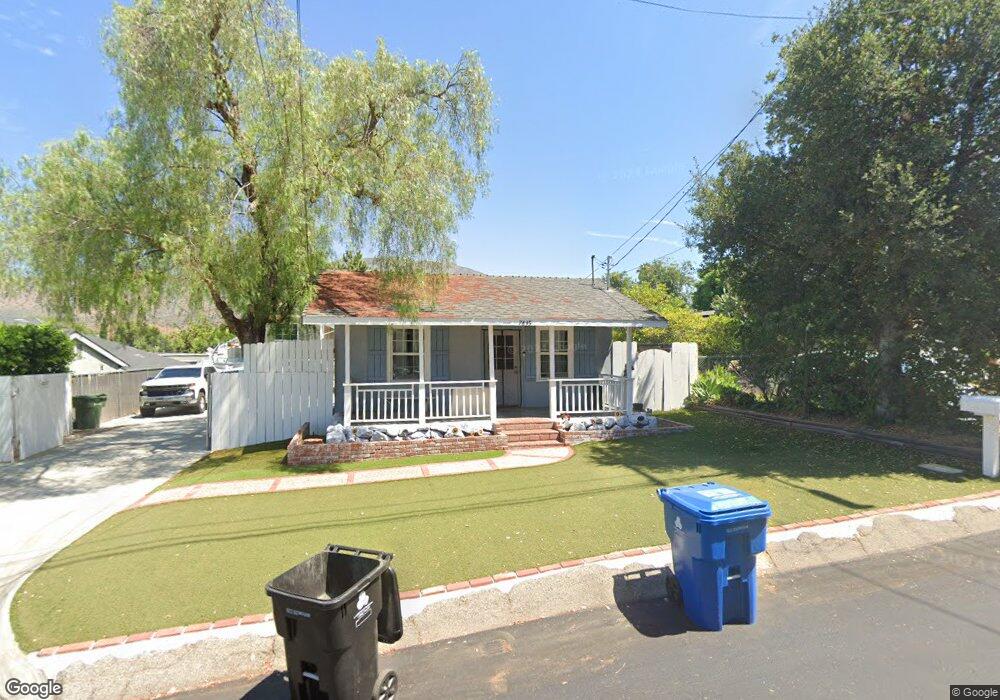
7835 Kyle St Sunland, CA 91040
Sunland NeighborhoodEstimated Value: $684,794 - $1,273,000
3
Beds
2
Baths
2,066
Sq Ft
$474/Sq Ft
Est. Value
About This Home
This home is located at 7835 Kyle St, Sunland, CA 91040 and is currently estimated at $979,949, approximately $474 per square foot. 7835 Kyle St is a home located in Los Angeles County with nearby schools including Mt. Gleason Middle School, Verdugo Hills Senior High School, and Plainview Academic Charter Academy.
Ownership History
Date
Name
Owned For
Owner Type
Purchase Details
Closed on
Aug 25, 2025
Sold by
Maciel Clayton O
Bought by
Kyle 78 Trust and Coons
Current Estimated Value
Purchase Details
Closed on
May 31, 2000
Sold by
Mcnutt Paul B
Bought by
Maciel Clayton O
Home Financials for this Owner
Home Financials are based on the most recent Mortgage that was taken out on this home.
Original Mortgage
$156,750
Interest Rate
7%
Create a Home Valuation Report for This Property
The Home Valuation Report is an in-depth analysis detailing your home's value as well as a comparison with similar homes in the area
Home Values in the Area
Average Home Value in this Area
Purchase History
We collect this data history from publicly available records. To have your information removed, we recommend requesting removal directly through your county’s website.
| Date | Buyer | Sale Price | Title Company |
|---|---|---|---|
| Kyle 78 Trust | -- | None Listed On Document | |
| Maciel Clayton O | $165,000 | Old Republic Title Company |
Source: Public Records
Mortgage History
We collect this data history from publicly available records. To have your information removed, we recommend requesting removal directly through your county’s website.
| Date | Status | Borrower | Loan Amount |
|---|---|---|---|
| Previous Owner | Maciel Clayton O | $156,750 | |
| Closed | Maciel Clayton O | $8,250 |
Source: Public Records
Tax History
| Year | Tax Paid | Tax Assessment Tax Assessment Total Assessment is a certain percentage of the fair market value that is determined by local assessors to be the total taxable value of land and additions on the property. | Land | Improvement |
|---|---|---|---|---|
| 2025 | $5,401 | $427,715 | $198,887 | $228,828 |
| 2024 | $5,322 | $419,330 | $194,988 | $224,342 |
| 2023 | $5,223 | $411,109 | $191,165 | $219,944 |
| 2022 | $4,985 | $403,049 | $187,417 | $215,632 |
| 2021 | $3,364 | $268,955 | $183,743 | $85,212 |
| 2019 | $3,265 | $260,980 | $178,294 | $82,686 |
| 2018 | $3,147 | $255,864 | $174,799 | $81,065 |
| 2016 | $2,565 | $210,011 | $168,012 | $41,999 |
| 2015 | $2,528 | $206,858 | $165,489 | $41,369 |
| 2014 | $2,544 | $202,807 | $162,248 | $40,559 |
Source: Public Records
Map
Nearby Homes
- 7853 Jayseel St
- 7848 Forsythe St
- 7755 Forsythe St
- 10918 Mount Gleason Ave
- 7941 Wentworth St
- 10631 Tinker Ave
- 10607 Whitegate Ave
- 8001 Wentworth St
- 10531 Greenburn Ave
- 11014 Leolang Ave
- 10830 Mather Ave
- 8057 Wentworth St
- 10852 Plainview Ave
- 7716 Grove St
- 11064 Plainview Ave
- 10935 Nassau Ave
- 10739 Helendale Ave
- 8224 Kyle St
- 10535 Nassau Ave
- 8230 Kyle St
Your Personal Tour Guide
Ask me questions while you tour the home.