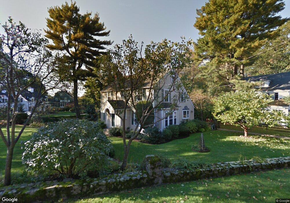
79 Colbert Rd E West Newton, MA 02465
West Newton NeighborhoodEstimated Value: $2,013,673 - $2,630,000
3
Beds
4
Baths
2,941
Sq Ft
$778/Sq Ft
Est. Value
About This Home
This home is located at 79 Colbert Rd E, West Newton, MA 02465 and is currently estimated at $2,289,168, approximately $778 per square foot. 79 Colbert Rd E is a home located in Middlesex County with nearby schools including Peirce Elementary School, F.A. Day Middle School, and Newton North High School.
Create a Home Valuation Report for This Property
The Home Valuation Report is an in-depth analysis detailing your home's value as well as a comparison with similar homes in the area
Home Values in the Area
Average Home Value in this Area
Tax History
| Year | Tax Paid | Tax Assessment Tax Assessment Total Assessment is a certain percentage of the fair market value that is determined by local assessors to be the total taxable value of land and additions on the property. | Land | Improvement |
|---|---|---|---|---|
| 2025 | $18,249 | $1,862,100 | $1,288,700 | $573,400 |
| 2024 | $17,645 | $1,807,900 | $1,251,200 | $556,700 |
| 2023 | $16,874 | $1,657,600 | $973,900 | $683,700 |
| 2022 | $16,146 | $1,534,800 | $901,800 | $633,000 |
| 2021 | $15,579 | $1,447,900 | $850,800 | $597,100 |
| 2020 | $15,116 | $1,447,900 | $850,800 | $597,100 |
| 2019 | $14,690 | $1,405,700 | $826,000 | $579,700 |
| 2018 | $14,300 | $1,321,600 | $747,800 | $573,800 |
| 2017 | $13,864 | $1,246,800 | $705,500 | $541,300 |
| 2016 | $13,260 | $1,165,200 | $659,300 | $505,900 |
| 2015 | $12,643 | $1,089,000 | $616,200 | $472,800 |
Source: Public Records
Map
Nearby Homes
- 20 Risley Rd
- 97 Valentine St
- 1230 Commonwealth Ave
- 1151 Commonwealth Ave
- 81 Fuller St
- 55 Grove Hill Park
- 55 Evelyn Rd
- 19 Gordon Rd
- 155 Paulson Rd
- 26 Sewall St
- 15 Gammons Rd
- 40 Sewall St
- 18 Moffat Rd
- 1438 Beacon St
- 80 Greenlawn Ave
- 1114 Beacon St Unit 202
- 1114 Beacon St Unit 111
- 1114 Beacon St Unit 104
- 1114 Beacon St Unit 207
- 34 Morton Rd
Your Personal Tour Guide
Ask me questions while you tour the home.