79 Spindle Point Rd Meredith, NH 03253
Estimated Value: $1,884,124 - $2,476,000
2
Beds
3
Baths
1,428
Sq Ft
$1,512/Sq Ft
Est. Value
About This Home
This home is located at 79 Spindle Point Rd, Meredith, NH 03253 and is currently estimated at $2,159,781, approximately $1,512 per square foot. 79 Spindle Point Rd is a home located in Belknap County with nearby schools including Inter-Lakes Elementary School, Sandwich Central School, and Inter-Lakes Middle High School.
Ownership History
Date
Name
Owned For
Owner Type
Purchase Details
Closed on
May 4, 2020
Sold by
Green Carleen J and Green Richard T
Bought by
Green Carleen J and Green Richard T
Current Estimated Value
Home Financials for this Owner
Home Financials are based on the most recent Mortgage that was taken out on this home.
Original Mortgage
$127,000
Outstanding Balance
$111,549
Interest Rate
3.3%
Mortgage Type
New Conventional
Estimated Equity
$2,048,232
Purchase Details
Closed on
Sep 28, 1990
Bought by
Green Richard T and Green Carleen J
Create a Home Valuation Report for This Property
The Home Valuation Report is an in-depth analysis detailing your home's value as well as a comparison with similar homes in the area
Home Values in the Area
Average Home Value in this Area
Purchase History
| Date | Buyer | Sale Price | Title Company |
|---|---|---|---|
| Green Carleen J | -- | None Available | |
| Green Richard T | $265,000 | -- |
Source: Public Records
Mortgage History
| Date | Status | Borrower | Loan Amount |
|---|---|---|---|
| Open | Green Carleen J | $127,000 | |
| Previous Owner | Green Richard T | $185,000 |
Source: Public Records
Tax History
| Year | Tax Paid | Tax Assessment Tax Assessment Total Assessment is a certain percentage of the fair market value that is determined by local assessors to be the total taxable value of land and additions on the property. | Land | Improvement |
|---|---|---|---|---|
| 2024 | $20,003 | $1,949,600 | $1,737,800 | $211,800 |
| 2023 | $19,282 | $1,949,600 | $1,737,800 | $211,800 |
| 2022 | $13,902 | $995,100 | $827,100 | $168,000 |
| 2021 | $13,353 | $994,300 | $827,100 | $167,200 |
| 2020 | $13,963 | $995,900 | $827,100 | $168,800 |
| 2019 | $13,087 | $823,600 | $669,100 | $154,500 |
| 2018 | $12,865 | $823,600 | $669,100 | $154,500 |
| 2016 | $11,540 | $740,200 | $594,900 | $145,300 |
| 2015 | $11,251 | $740,200 | $594,900 | $145,300 |
| 2014 | $11,112 | $749,300 | $594,900 | $154,400 |
| 2013 | $10,797 | $749,300 | $594,900 | $154,400 |
Source: Public Records
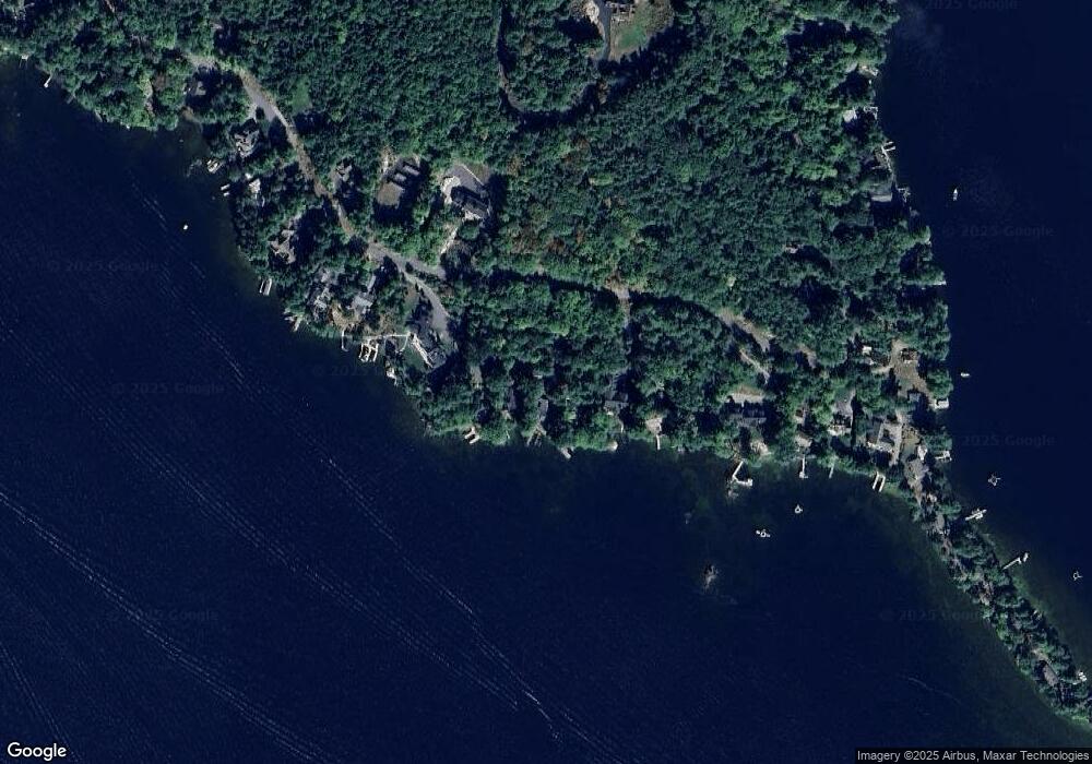
Map
Nearby Homes
- 4 Cummings Cove Rd
- Lot 21 Cummings Cove Rd
- 11 Quimby Rd
- 616 Scenic Rd Unit 404
- 37
- 598 Scenic Rd Unit 2
- 45 Stern Castle Place Unit 32
- 38 Stern Castle Place Unit 30
- 6 Windjammer's Ridge
- 34 Deadreckoning Point
- 63 Commanders Helm
- 175 Akwa Vista
- 23 Deadreckoning Point
- 44 Centenary Ave
- 8 Deadreckoning Point
- 126 Soleil Mountain
- 75 Neal Shore Rd
- Lot 12-5 Needle Eye Rd
- 43 Happy Homes Rd
- 59 Treetop Cir Unit 34
- 81 Spindle Point Rd
- 77 Spindle Point Rd
- 83 Spindle Point Rd
- 75 Spindle Point Rd
- 85 Spindle Point Rd
- 87 Spindle Point Rd
- 73 Spindle Point Rd
- 0 Spindle Point Rd
- 74 Spindle Point Rd
- 67 Spindle Point Rd
- 91 Spindle Point Rd
- 65 Spindle Point Rd
- 93 Spindle Point Rd
- 63 Spindle Point Rd
- 95 Spindle Point Rd
- 61 Spindle Point Rd
- 3 Lighthouse Point Rd
- 34 Observatory Rd
- 36 Observatory Rd
- 32 Observatory Rd
Your Personal Tour Guide
Ask me questions while you tour the home.