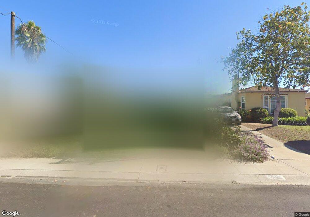
7912 Flight Ave Los Angeles, CA 90045
Westchester NeighborhoodEstimated Value: $1,191,833 - $1,484,000
3
Beds
2
Baths
1,344
Sq Ft
$1,019/Sq Ft
Est. Value
About This Home
This home is located at 7912 Flight Ave, Los Angeles, CA 90045 and is currently estimated at $1,369,208, approximately $1,018 per square foot. 7912 Flight Ave is a home located in Los Angeles County with nearby schools including Westport Heights Elementary, Wright Middle School STEAM Magnet, and Westchester Enriched Sciences Magnets.
Ownership History
Date
Name
Owned For
Owner Type
Purchase Details
Closed on
Jul 27, 2010
Sold by
Anita Patrice
Bought by
Anita Patrice and The Anita Trust
Current Estimated Value
Purchase Details
Closed on
Nov 15, 1996
Sold by
Grant Patrice A
Bought by
Anita Patrice
Purchase Details
Closed on
Jan 4, 1996
Sold by
Burke Kathleen Sue and Johnson Kathleen Sue
Bought by
Burke Claude Allyn and Burke Kathleen Sue
Home Financials for this Owner
Home Financials are based on the most recent Mortgage that was taken out on this home.
Original Mortgage
$161,250
Interest Rate
7.18%
Purchase Details
Closed on
Dec 14, 1995
Sold by
Burke Claude Allyn and Burke Kathleen Sue
Bought by
Grant Patrice A
Home Financials for this Owner
Home Financials are based on the most recent Mortgage that was taken out on this home.
Original Mortgage
$161,250
Interest Rate
7.18%
Create a Home Valuation Report for This Property
The Home Valuation Report is an in-depth analysis detailing your home's value as well as a comparison with similar homes in the area
Home Values in the Area
Average Home Value in this Area
Purchase History
| Date | Buyer | Sale Price | Title Company |
|---|---|---|---|
| Anita Patrice | -- | None Available | |
| Anita Patrice | -- | -- | |
| Burke Claude Allyn | -- | Equity Title Company | |
| Grant Patrice A | $215,000 | Equity Title Company |
Source: Public Records
Mortgage History
| Date | Status | Borrower | Loan Amount |
|---|---|---|---|
| Previous Owner | Grant Patrice A | $161,250 |
Source: Public Records
Tax History
| Year | Tax Paid | Tax Assessment Tax Assessment Total Assessment is a certain percentage of the fair market value that is determined by local assessors to be the total taxable value of land and additions on the property. | Land | Improvement |
|---|---|---|---|---|
| 2025 | $4,367 | $357,130 | $307,310 | $49,820 |
| 2024 | $4,367 | $350,129 | $301,285 | $48,844 |
| 2023 | $4,287 | $343,265 | $295,378 | $47,887 |
| 2022 | $4,094 | $336,536 | $289,587 | $46,949 |
| 2021 | $4,035 | $329,938 | $283,909 | $46,029 |
| 2019 | $3,915 | $320,154 | $275,489 | $44,665 |
| 2018 | $3,839 | $313,878 | $270,088 | $43,790 |
Source: Public Records
Map
Nearby Homes
- 8309 Barnsley Ave
- 8324 Barnsley Ave
- 8421 Kittyhawk Ave
- 8418 Belford Ave
- 5824 Compass Dr
- 8512 Belford Ave
- 8212 Winsford Ave
- 6133 W 83rd Place
- 8620 Belford Ave Unit 106
- 8130 Grimsby Ave
- 8127 Vicksburg Ave
- 7907 Vicksburg Ave
- 8650 Belford Ave Unit 119A
- 8650 Belford Ave Unit A119
- 8650 Belford Ave
- 7615 Kittyhawk Ave
- 7803 Vicksburg Ave
- 8454 Naylor Ave
- 8906 Yorktown Ave
- 8807 Reading Ave
- 7906 Flight Ave
- 7916 Flight Ave
- 7900 Flight Ave
- 7922 Flight Ave
- 7926 Flight Ave
- 7911 Flight Ave
- 7907 Flight Ave
- 7921 Flight Ave
- 7901 Flight Ave
- 7932 Flight Ave
- 7934 Flight Ave Unit 7934
- 8205 Kittyhawk Ave
- 7936 Flight Ave
- 7935 Flight Ave
- 7928 Flight Place
- 8209 Kittyhawk Ave
- 7922 Flight Place
- 7918 Flight Place
- 7910 Flight Place
- 7906 Flight Place
Your Personal Tour Guide
Ask me questions while you tour the home.