Estimated Value: $377,000 - $544,262
2
Beds
2
Baths
2,428
Sq Ft
$183/Sq Ft
Est. Value
About This Home
This home is located at 7964 W 140th St N, Mingo, IA 50168 and is currently estimated at $444,421, approximately $183 per square foot. 7964 W 140th St N is a home located in Jasper County with nearby schools including Colfax-Mingo Elementary School and Colfax-Mingo High School.
Ownership History
Date
Name
Owned For
Owner Type
Purchase Details
Closed on
Feb 26, 2025
Sold by
Beard Ronald G and Beard Sandra K
Bought by
Ronald G Beard And Sandra K Beard Revocable T
Current Estimated Value
Purchase Details
Closed on
Feb 6, 2018
Sold by
Allan Payne
Bought by
Beard Ronald and Beard Sandra
Home Financials for this Owner
Home Financials are based on the most recent Mortgage that was taken out on this home.
Original Mortgage
$1,500,000
Interest Rate
4.22%
Create a Home Valuation Report for This Property
The Home Valuation Report is an in-depth analysis detailing your home's value as well as a comparison with similar homes in the area
Home Values in the Area
Average Home Value in this Area
Purchase History
| Date | Buyer | Sale Price | Title Company |
|---|---|---|---|
| Ronald G Beard And Sandra K Beard Revocable T | -- | None Listed On Document | |
| Beard Ronald | -- | -- |
Source: Public Records
Mortgage History
| Date | Status | Borrower | Loan Amount |
|---|---|---|---|
| Previous Owner | Beard Ronald | $1,500,000 | |
| Previous Owner | Beard Ronald | -- |
Source: Public Records
Tax History Compared to Growth
Tax History
| Year | Tax Paid | Tax Assessment Tax Assessment Total Assessment is a certain percentage of the fair market value that is determined by local assessors to be the total taxable value of land and additions on the property. | Land | Improvement |
|---|---|---|---|---|
| 2025 | $5,512 | $421,780 | $110,480 | $311,300 |
| 2024 | $5,512 | $361,520 | $85,400 | $276,120 |
| 2023 | $5,400 | $361,520 | $85,400 | $276,120 |
| 2022 | $6,228 | $389,960 | $64,140 | $325,820 |
| 2021 | $6,116 | $363,270 | $64,140 | $299,130 |
| 2020 | $6,116 | $339,520 | $65,080 | $274,440 |
| 2019 | $5,678 | $331,810 | $0 | $0 |
| 2018 | $5,678 | $302,790 | $0 | $0 |
| 2017 | $5,072 | $313,210 | $0 | $0 |
| 2016 | $5,072 | $313,210 | $0 | $0 |
| 2015 | $5,108 | $313,210 | $0 | $0 |
| 2014 | $4,732 | $313,210 | $0 | $0 |
Source: Public Records
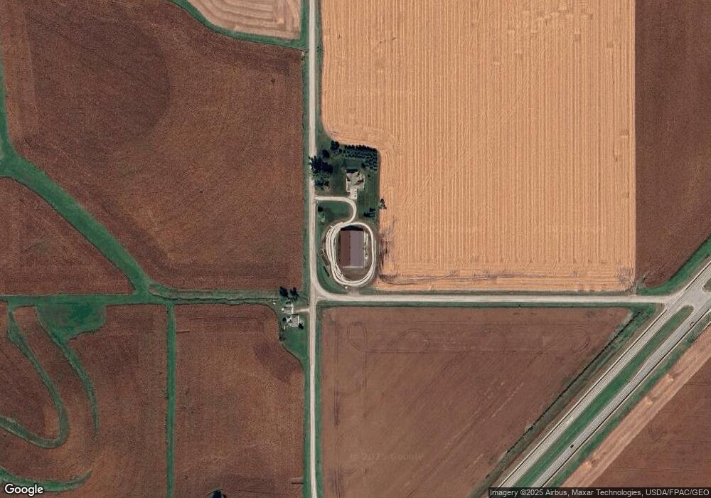
Map
Nearby Homes
- 14039 NE 112th St
- 12485 Highway F17 W
- 10803 NE 118th Ave
- 5768 W 148th St N
- TBD NE 134th Ave
- 114 S Station St
- 11301 NE 110th Ave
- 303 S Station St
- 12210 N 59th Ave W
- 12227 N 59th Ave W
- 105 Everett Cir
- 103 Everett Cir
- 5280 Fairview Ln
- 5460 Fairview Ln
- 5220 Fairview Ln
- 5397 Fairview Ln
- 5527 Fairview Ln
- 5517 Fairview Ln
- 5520 Fairview Ln
- 5457 Fariview Ln