8 Bayside N Edgartown, MA 02539
Edgartown NeighborhoodEstimated Value: $2,787,000 - $4,298,044
3
Beds
3
Baths
1,656
Sq Ft
$2,175/Sq Ft
Est. Value
About This Home
This home is located at 8 Bayside N, Edgartown, MA 02539 and is currently estimated at $3,602,011, approximately $2,175 per square foot. 8 Bayside N is a home with nearby schools including Edgartown Elementary School and Martha's Vineyard Regional High School.
Ownership History
Date
Name
Owned For
Owner Type
Purchase Details
Closed on
Jun 4, 2024
Sold by
Blue Bird 6 Rt and Houlahan
Bought by
Blue Bird Realty Llc
Current Estimated Value
Purchase Details
Closed on
Aug 22, 2018
Sold by
Red Tara Hills T and Houlahan
Bought by
Blue Bird 6 Rt and Houlahan
Purchase Details
Closed on
Jul 1, 2016
Sold by
Houlahan Andrew P
Bought by
Blue Bird 6 Rt and Houlahan
Purchase Details
Closed on
Dec 31, 2015
Sold by
Wetu Sites Llc
Bought by
Houlahan Andrew P
Create a Home Valuation Report for This Property
The Home Valuation Report is an in-depth analysis detailing your home's value as well as a comparison with similar homes in the area
Home Values in the Area
Average Home Value in this Area
Purchase History
| Date | Buyer | Sale Price | Title Company |
|---|---|---|---|
| Blue Bird Realty Llc | -- | None Available | |
| Blue Bird Realty Llc | -- | None Available | |
| Blue Bird 6 Rt | -- | -- | |
| Blue Bird 6 Rt | -- | -- | |
| Houlahan Andrew P | -- | -- | |
| Blue Bird 6 Rt | -- | -- | |
| Blue Bird 6 Rt | -- | -- | |
| Houlahan Andrew P | -- | -- |
Source: Public Records
Tax History Compared to Growth
Tax History
| Year | Tax Paid | Tax Assessment Tax Assessment Total Assessment is a certain percentage of the fair market value that is determined by local assessors to be the total taxable value of land and additions on the property. | Land | Improvement |
|---|---|---|---|---|
| 2025 | $8,405 | $3,171,700 | $1,252,700 | $1,919,000 |
| 2024 | $7,827 | $3,069,600 | $1,252,700 | $1,816,900 |
| 2023 | $4,650 | $1,845,200 | $1,494,900 | $350,300 |
| 2022 | $4,218 | $1,392,000 | $1,392,000 | $0 |
| 2021 | $4,163 | $1,269,100 | $1,269,100 | $0 |
| 2020 | $3,842 | $1,153,800 | $1,153,800 | $0 |
| 2019 | $4,465 | $1,153,800 | $1,153,800 | $0 |
| 2018 | $4,465 | $1,153,800 | $1,153,800 | $0 |
| 2017 | $4,096 | $1,153,800 | $1,153,800 | $0 |
| 2016 | $4,015 | $1,109,100 | $1,109,100 | $0 |
Source: Public Records
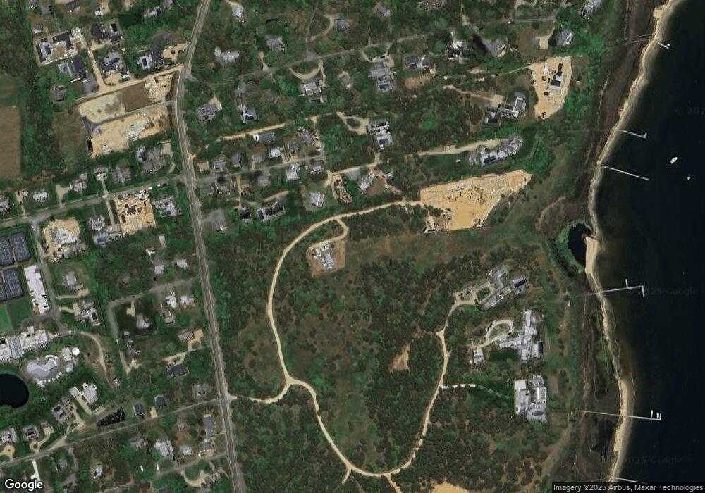
Map
Nearby Homes
- 1 Bayside N
- 22 Smiths Way
- 16 Bayside N
- 20 Massasoit Rd
- 16 Massasoit Rd
- 12 Hiacoomes Way
- 10 Case Rd
- 12 Massasoit Rd
- 19 Massasoit Rd
- 17 Massasoit Rd
- 13 Massasoit Rd
- 9 Massasoit Rd
- 6 Milikin Way
- 8 Milikin Way
- 275 Katama Rd
- 4 Massasoit Rd
- 7 Massasoit Rd
- 5A and 5B Massasoit Rd Unit Left/Right
- 5 Massasoit Rd Unit B
- 5 Massasoit Rd Unit A