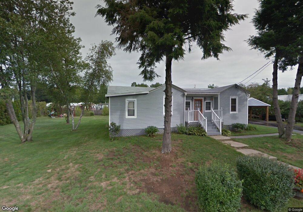
8 Dartmouth St Hooksett, NH 03106
Estimated Value: $410,000 - $496,000
3
Beds
2
Baths
1,500
Sq Ft
$299/Sq Ft
Est. Value
About This Home
This home is located at 8 Dartmouth St, Hooksett, NH 03106 and is currently estimated at $448,570, approximately $299 per square foot. 8 Dartmouth St is a home located in Merrimack County with nearby schools including Fred C. Underhill School, Hooksett Memorial School, and David R. Cawley Middle School.
Ownership History
Date
Name
Owned For
Owner Type
Purchase Details
Closed on
Mar 8, 2022
Sold by
Boynton Michael N
Bought by
Boynton Michael N and Vaughan Nancy S
Current Estimated Value
Home Financials for this Owner
Home Financials are based on the most recent Mortgage that was taken out on this home.
Original Mortgage
$100,000
Outstanding Balance
$79,236
Interest Rate
3.15%
Mortgage Type
Stand Alone Refi Refinance Of Original Loan
Estimated Equity
$369,334
Purchase Details
Closed on
Aug 1, 2013
Sold by
Boynton Michael N and Boynton Randi L
Bought by
Boynton Michael
Home Financials for this Owner
Home Financials are based on the most recent Mortgage that was taken out on this home.
Original Mortgage
$142,400
Interest Rate
3.95%
Mortgage Type
New Conventional
Create a Home Valuation Report for This Property
The Home Valuation Report is an in-depth analysis detailing your home's value as well as a comparison with similar homes in the area
Home Values in the Area
Average Home Value in this Area
Purchase History
| Date | Buyer | Sale Price | Title Company |
|---|---|---|---|
| Boynton Michael N | -- | None Available | |
| Boynton Michael N | -- | None Available | |
| Boynton Michael | -- | -- | |
| Boynton Michael | -- | -- | |
| Boynton Michael | -- | -- |
Source: Public Records
Mortgage History
| Date | Status | Borrower | Loan Amount |
|---|---|---|---|
| Open | Boynton Michael N | $100,000 | |
| Closed | Boynton Michael N | $100,000 | |
| Previous Owner | Boynton Michael | $142,400 | |
| Previous Owner | Boynton Michael | $50,000 | |
| Previous Owner | Boynton Michael | $98,500 |
Source: Public Records
Tax History Compared to Growth
Tax History
| Year | Tax Paid | Tax Assessment Tax Assessment Total Assessment is a certain percentage of the fair market value that is determined by local assessors to be the total taxable value of land and additions on the property. | Land | Improvement |
|---|---|---|---|---|
| 2024 | $6,367 | $375,400 | $119,000 | $256,400 |
| 2023 | $5,999 | $375,400 | $119,000 | $256,400 |
| 2022 | $4,784 | $198,900 | $72,600 | $126,300 |
| 2021 | $4,420 | $198,900 | $72,600 | $126,300 |
| 2020 | $4,477 | $198,900 | $72,600 | $126,300 |
| 2019 | $4,286 | $198,900 | $72,600 | $126,300 |
| 2018 | $6,007 | $198,900 | $72,600 | $126,300 |
| 2017 | $4,578 | $171,200 | $70,900 | $100,300 |
| 2016 | $4,518 | $171,200 | $70,900 | $100,300 |
| 2015 | $4,232 | $171,200 | $70,900 | $100,300 |
| 2014 | $4,251 | $171,200 | $70,900 | $100,300 |
| 2013 | $4,020 | $171,200 | $70,900 | $100,300 |
Source: Public Records
Map
Nearby Homes
- 65 Marlette Ave
- 18 Julia Dr
- 34 Lindsay Rd
- 2 Wedgewood Cir Unit 14
- 5 Sunrise Blvd
- 29 Dale Rd
- 1601 Hooksett Rd
- 245 W River Rd
- 7 Mulberry Ln
- 254 W River Rd
- 5 Cross Rd
- 2 Memory Ln
- 12 Crawford Ln
- 27 Martins Ferry Rd
- 22 Harmony Ln
- 53 Cross Rd
- 286B Londonderry Turnpike Unit A
- 286 Londonderry Turnpike Unit A
- 197 Whitehall Rd
- 21 Vindale Rd