8 Drumhack Rd Gloucester, MA 01930
East Gloucester NeighborhoodEstimated Value: $3,708,000 - $4,857,000
3
Beds
4
Baths
2,590
Sq Ft
$1,641/Sq Ft
Est. Value
About This Home
This home is located at 8 Drumhack Rd, Gloucester, MA 01930 and is currently estimated at $4,249,391, approximately $1,640 per square foot. 8 Drumhack Rd is a home located in Essex County with nearby schools including East Gloucester Elementary School, Ralph B O'maley Middle School, and Gloucester High School.
Ownership History
Date
Name
Owned For
Owner Type
Purchase Details
Closed on
Jul 8, 2025
Sold by
John F Deraismes Ret and Deraismes
Bought by
Ann M Deraismes Ret and Deraismes
Current Estimated Value
Purchase Details
Closed on
Sep 23, 2020
Sold by
Ann M Deraismes Ret
Bought by
John F Deraismes Ret
Purchase Details
Closed on
Oct 15, 2019
Sold by
Deraismes Ann M and Deraismes John F
Bought by
Ann M Deraismes Ret
Purchase Details
Closed on
Dec 2, 2010
Sold by
Cooke Nt and Cooke Jay
Bought by
Deraismes John F and Deraimes Ann M
Create a Home Valuation Report for This Property
The Home Valuation Report is an in-depth analysis detailing your home's value as well as a comparison with similar homes in the area
Home Values in the Area
Average Home Value in this Area
Purchase History
| Date | Buyer | Sale Price | Title Company |
|---|---|---|---|
| Ann M Deraismes Ret | -- | -- | |
| Ann M Deraismes Ret | -- | -- | |
| Ann M Deraismes Ret | -- | -- | |
| John F Deraismes Ret | -- | None Available | |
| John F Deraismes Ret | -- | None Available | |
| John F Deraismes Ret | -- | None Available | |
| Ann M Deraismes Ret | -- | -- | |
| Deraismes John F | $1,225,000 | -- | |
| Deraismes John F | $1,225,000 | -- |
Source: Public Records
Mortgage History
| Date | Status | Borrower | Loan Amount |
|---|---|---|---|
| Previous Owner | Deraismes John F | $840,000 | |
| Previous Owner | Deraismes John F | $120,000 |
Source: Public Records
Tax History
| Year | Tax Paid | Tax Assessment Tax Assessment Total Assessment is a certain percentage of the fair market value that is determined by local assessors to be the total taxable value of land and additions on the property. | Land | Improvement |
|---|---|---|---|---|
| 2025 | $33,209 | $3,416,600 | $1,790,800 | $1,625,800 |
| 2024 | $32,415 | $3,331,500 | $1,705,700 | $1,625,800 |
| 2023 | $30,443 | $2,874,700 | $1,454,900 | $1,419,800 |
| 2022 | $29,426 | $2,508,600 | $1,265,400 | $1,243,200 |
| 2021 | $28,401 | $2,283,000 | $1,151,700 | $1,131,300 |
| 2020 | $28,612 | $2,320,500 | $1,151,700 | $1,168,800 |
| 2019 | $27,691 | $2,182,100 | $1,098,000 | $1,084,100 |
| 2018 | $27,281 | $2,109,900 | $1,071,200 | $1,038,700 |
| 2017 | $26,575 | $2,014,800 | $1,019,900 | $994,900 |
| 2016 | $25,931 | $1,905,300 | $976,000 | $929,300 |
| 2015 | $24,844 | $1,820,100 | $953,800 | $866,300 |
Source: Public Records
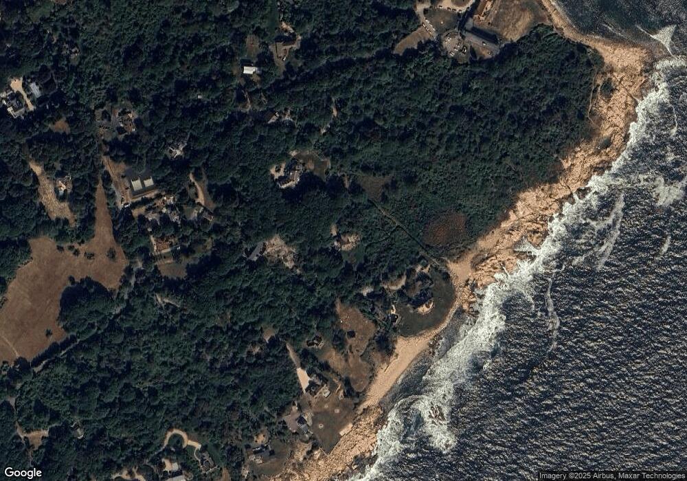
Map
Nearby Homes
- 100 Eastern Point Blvd
- 11 Ocean View Dr
- 15 Raven Ln Unit 15
- 10 Seaview Rd
- 1 Wonson St
- 73 Rocky Neck Ave Unit 2
- 60 Rocky Neck Ave Unit 202
- 197 E Main St Unit 1
- 191 Main St Unit 3
- 191 Main St Unit 2A
- 33 Middle St
- 35 Middle St Unit 4
- 5 Marshfield St
- 14R Spring St Unit 3
- 139A Prospect St
- 13 Leslie o Johnson Rd
- 20 Beacon St
- 20 Beacon St Unit 2
- 20 Beacon St Unit 1
- 3 Mondello Square
- 5 Megan Way
- 44 Fort Hill Ave
- 3 Drumhack Rd
- 6 Prentiss Rd
- 48 Fort Hill Ave
- 14 Prentiss Rd
- 40 Fort Hill Ave
- 42 Fort Hill Ave
- 13 Prentiss Rd
- 1 Ramparts Field Rd
- 7 Prentiss Rd
- 35 Niles Pond Rd
- 45 Fort Hill Ave
- 26 Fort Hill Ave
- 18 Rouse Rd
- 31 Niles Pond Rd
- 33 Fort Hill Ave
- 16 Rouse Rd
- 14 Rouse Rd
- 25 Niles Pond Rd
Your Personal Tour Guide
Ask me questions while you tour the home.