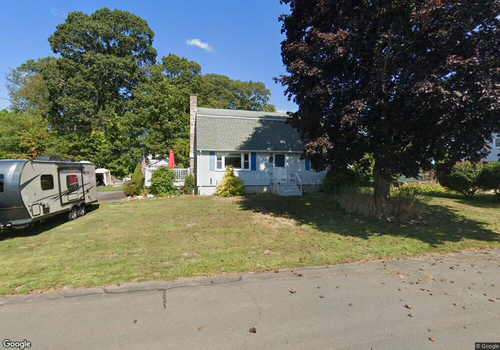
8 Oriole St Pawcatuck, CT 06379
Estimated Value: $334,739 - $526,000
3
Beds
3
Baths
1,642
Sq Ft
$258/Sq Ft
Est. Value
About This Home
This home is located at 8 Oriole St, Pawcatuck, CT 06379 and is currently estimated at $423,685, approximately $258 per square foot. 8 Oriole St is a home located in New London County with nearby schools including Stonington Middle School, Stonington High School, and Pine Point School.
Ownership History
Date
Name
Owned For
Owner Type
Purchase Details
Closed on
Mar 25, 2002
Sold by
Diorio Paul J and Brant Monica L
Bought by
Albertson Matthew D and Albertson Jillian H
Current Estimated Value
Purchase Details
Closed on
Oct 29, 1999
Sold by
Feeney John M and Feeney Honore E
Bought by
Diiorio Paul J and Brant Monica L
Create a Home Valuation Report for This Property
The Home Valuation Report is an in-depth analysis detailing your home's value as well as a comparison with similar homes in the area
Home Values in the Area
Average Home Value in this Area
Purchase History
| Date | Buyer | Sale Price | Title Company |
|---|---|---|---|
| Albertson Matthew D | $168,000 | -- | |
| Diiorio Paul J | $145,000 | -- | |
| Diiorio Paul J | $145,000 | -- |
Source: Public Records
Mortgage History
| Date | Status | Borrower | Loan Amount |
|---|---|---|---|
| Open | Diiorio Paul J | $319,171 | |
| Closed | Diiorio Paul J | $69,500 | |
| Closed | Diiorio Paul J | $200,000 |
Source: Public Records
Tax History
| Year | Tax Paid | Tax Assessment Tax Assessment Total Assessment is a certain percentage of the fair market value that is determined by local assessors to be the total taxable value of land and additions on the property. | Land | Improvement |
|---|---|---|---|---|
| 2025 | $4,125 | $215,400 | $53,400 | $162,000 |
| 2024 | $3,948 | $215,400 | $53,400 | $162,000 |
| 2023 | $3,912 | $215,400 | $53,400 | $162,000 |
| 2022 | $3,620 | $147,800 | $50,000 | $97,800 |
| 2021 | $5,636 | $147,800 | $50,000 | $97,800 |
| 2020 | $5,748 | $147,800 | $50,000 | $97,800 |
| 2019 | $3,596 | $147,800 | $50,000 | $97,800 |
| 2018 | $3,475 | $147,800 | $50,000 | $97,800 |
| 2017 | $2,947 | $123,500 | $44,500 | $79,000 |
| 2016 | $2,848 | $123,500 | $44,500 | $79,000 |
| 2015 | $2,726 | $123,500 | $44,500 | $79,000 |
| 2014 | $2,616 | $123,500 | $44,500 | $79,000 |
Source: Public Records
Map
Nearby Homes
- 93A S Broad St
- 93 S Broad St
- 54 Barnes Rd
- 19 Lathrop Ave
- 51 Pequot Trail
- Lot 2, 770 Pequot Trail
- 25 Summertime Cir
- 39 Summertime Cir
- 38 Summertime Cir
- 22 Summertime Cir
- 23 Summertime Cir
- 45 Summertime Cir
- 15 Moss St
- 13 Moss St
- 141 W Broad St
- 0 Green Ave
- 16 Green Ave
- 536 Greenhaven Rd
- 24 Abbey Ln Unit 13
- 23 Abbey Ln Unit 12
Your Personal Tour Guide
Ask me questions while you tour the home.